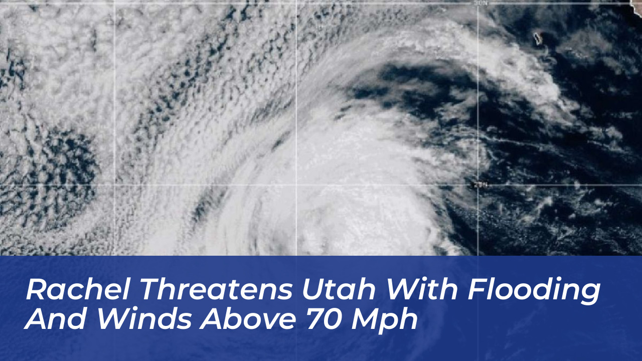

Communities across Utah are bracing for heavy rain, flash flooding, and potentially destructive winds as the remnants of Tropical Storm Rachel move inland from the Pacific. The National Weather Service (NWS) has issued widespread flood watches and wind advisories ahead of the storm, warning residents to prepare for severe weather starting this weekend.
Meteorologists forecast widespread precipitation ranging from 1 to 2 inches in Utah’s valleys and 2 to 4 inches across much of the state between late Saturday and Monday. Higher elevation areas and terrain-favored locations, particularly in southwestern Utah, the Book Cliffs, and the Bear River Range, could receive localized totals of 6 to 8 inches. Mountain snow accumulations are also anticipated above 8,500 feet, with 4 to 8 inches expected and up to 12 inches possible over the Uinta Mountains.
High Winds and Potential Destruction
Intense winds will accompany the heavy rainfall. Wind advisories and high wind watches warn of sustained winds between 20 and 30 mph and potential destructive gusts exceeding 60 to 70 mph in western parts of the state. These powerful winds, combined with saturated soils, heighten the risk of fallen trees, localized power outages, and structural damage.
The NWS Salt Lake City office emphasized the severity of the incoming weather, stating in its advisories, “Those living in areas prone to flooding should be prepared to take action should flooding develop.”
Vulnerable Burn Scars and Urban Flood Risks
Recent wildfire burn scars are a primary concern for emergency managers. Burned hillsides shed water rapidly, which drastically increases the danger of flash flooding, mudflows, and debris flows downstream. Normally dry washes, slot canyons, small streams, and rivers may experience sudden, dangerous rises in water levels.
Urban areas across southern and central Utah also face potential flooding if local drainage systems become overwhelmed by heavy downpours. Officials urge residents and visitors to avoid driving through flooded roadways, stay away from fast-moving water, and closely monitor local weather alerts and emergency instructions.
Impact on Drought and Soil Moisture
While the storm poses immediate flood threats, meteorologists note that the influx of tropical moisture will provide long-term benefits to drought-stricken Utah. Over 75% of the state remains in severe or extreme drought conditions. Hayden Mahan, a meteorologist with the National Weather Service in Salt Lake City, highlighted the dual nature of the system. He noted that while flooding is a serious concern, the moisture will significantly improve soil health and bolster winter snowpack efficiency ahead of the upcoming water year.
Widespread precipitation is expected to persist through early next week as Rachel interacts with a separate low-pressure system moving down from the Pacific Northwest, bringing cooler temperatures and additional mountain snow by midweek.
Frequently Asked Questions
When is Tropical Storm Rachel’s remnant expected to arrive in Utah?
The remnants of Tropical Storm Rachel are expected to impact Utah starting late Saturday and continuing through Monday and Tuesday as the system interacts with a low-pressure system from the Pacific Northwest.
How much rain is forecasted for Utah?
Valleys are expected to receive 1 to 2 inches of rain, while much of the state will see 2 to 4 inches. Terrain-favored locations in southwestern Utah, the Book Cliffs, and the Bear River Range could experience localized totals of 6 to 8 inches.
What are the primary hazards associated with this storm system?
The primary hazards include flash flooding, rapid runoff, mud and debris flows near recent wildfire burn scars, urban flooding, and destructive wind gusts exceeding 60 to 70 mph.
Will the storm bring snow to Utah?
Yes. Mountain snow accumulations of 4 to 8 inches are expected above 8,500 feet, with up to 12 inches possible over the Uinta Mountains, and snow levels potentially dropping to 8,000 feet by midweek.
How will this storm affect Utah’s drought situation?
While the heavy rainfall carries immediate flood risks, it will help improve soil moisture levels and benefit the state’s hydrology, aiding snowpack runoff efficiency for the upcoming winter season.