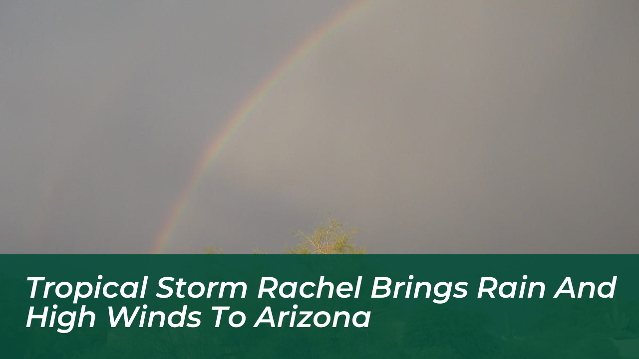

Moisture streaming from Tropical Storm Rachel is impacting Arizona, bringing heavy rain, isolated thunderstorms, and powerful winds across the state. Forecasts from the National Weather Service, The Arizona Republic, ABC15, and FOX 10 Phoenix show the active weather pattern running through Tuesday, October 13, driving a significant drop in temperatures while elevating flash flood risks.
This transition introduces a sharp contrast to recent extreme heat across the Desert Southwest. Northern and western Arizona face the highest rainfall threat, while the Phoenix metropolitan area braces for wind gusts reaching up to 45 mph.

Flood Watches and Heavy Rainfall Projections
Flood watches cover parts of northwestern Arizona and regions near the Mogollon Rim, with several alerts extending into early Monday, October 12. Forecasters warn of excessive runoff, urban flooding, and rising water levels in rivers, creeks, and low-lying areas.
The Weather Prediction Center outlined specific risks for the region. It placed western Mohave County under a moderate 40% risk of flash flooding on Sunday, October 11, while the western half of Arizona faces a 15% risk. Numerous to scattered flash floods are expected to develop in the most vulnerable zones.
- Yavapai, Coconino, and Mohave Counties: Projected rainfall totals of 1 to 3 inches.
- Phoenix Metropolitan Area: Expected totals ranging from a quarter of an inch to 1.50 inches, with locally higher amounts possible during heavier storms.
Wind Advisories and Severe Weather Potential
High winds accompany the incoming moisture system, prompting widespread wind advisories across the state. Sustained winds of up to 35 mph paired with peak gusts between 45 and 55 mph are forecast for Sunday, October 11. These hazardous conditions create potential blowing dust and difficult driving scenarios, particularly for high-profile vehicles.
Meteorologists note that instability associated with the system also introduces a marginal risk for severe storms across central, southern, and western Arizona. Gusty winds remain the primary threat, alongside a low-probability tornado risk.
A Major Cool-Down Across the Desert Southwest
Beyond the immediate storm impacts, the system delivers a welcome relief from persistent triple-digit heat. High temperatures on Saturday, October 10, reach the lower 90s before dropping into the 80s on Sunday and Monday. By Tuesday and Wednesday, October 13-14, daytime highs are projected to dip into the upper 70s, before gradually returning toward seasonal norms near 90 degrees later in the week.