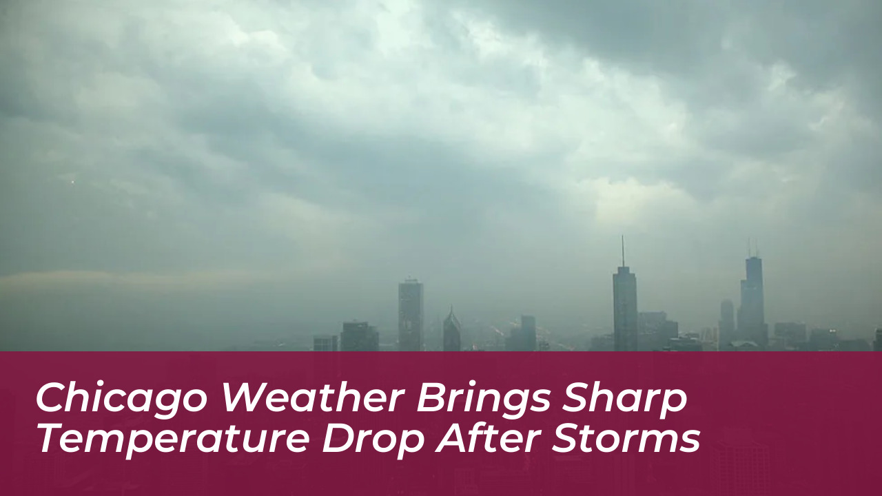

Chicago residents experienced an abrupt shift in seasonal conditions as unseasonably warm weather gave way to scattered thunderstorms, rain, and a sharp temperature drop across Chicagoland. According to forecasts from FOX Chicago and Yahoo weather reports, daytime highs near 80 degrees quickly retreated into the 50s and 60s as a powerful cold front swept through the region.

Unseasonably Warm Conditions Precede Storms
The week began with uncharacteristically warm conditions for the area. Daily highs climbed well into the 70s and 80s under sunny skies. These temperatures tracked significantly above normal for this time of year, when historical averages typically hover in the mid-60s. However, meteorologists warned that the pleasant warmth was short-lived as atmospheric conditions shifted rapidly.
Increasing clouds moved into the region during the afternoon, setting the stage for changing weather patterns. Rain and thunderstorms arrived later in the evening. Precipitation chances ramped up significantly after 10 p.m. and continued into early Wednesday morning.
Storm Threat and Severe Weather Risks
The Storm Prediction Center issued a general thunderstorm risk across the entirety of Chicagoland. Parts of DeKalb, LaSalle, Kankakee, Kendall, and Grundy counties faced a marginal risk for severe weather. Primary threats concentrated on gusty winds and hail, mostly localized south of Interstate 88.
Meteorologists tracking the system noted that the active weather was driven by a robust cold front colliding with the lingering warm air mass. This dynamic transition triggered brief heavy downpours overnight before the primary weather disturbance began pushing eastward.
Drastic Temperature Drop and Rest of the Week Forecast
The defining feature of the weather shift was the suddenness of the cooling trend. After reaching near 80 degrees, temperatures plummeted significantly:
- Wednesday: Morning scattered rain cleared by mid-to-late morning, leaving partly sunny skies and daytime highs struggling to reach the low to mid-60s.
- Thursday: Additional rounds of showers and storms developed in the afternoon and evening. This brought a severe weather threat featuring potential hail and strong winds in parts of the area, while temperatures remained cool in the lower 60s.
- Friday: Downright chilly conditions settled over the region. Afternoon highs only reached the low to mid-50s under sunny skies, and overnight lows tumbled into the upper 30s.
Looking ahead to the weekend, sunshine is expected to return with modest recovery. Saturday and Sunday will feature sunny skies. Temperatures will rebound slightly into the upper 50s on Saturday and the mid-60s by Sunday, bringing a quieter end to an eventful week of weather across Chicago.