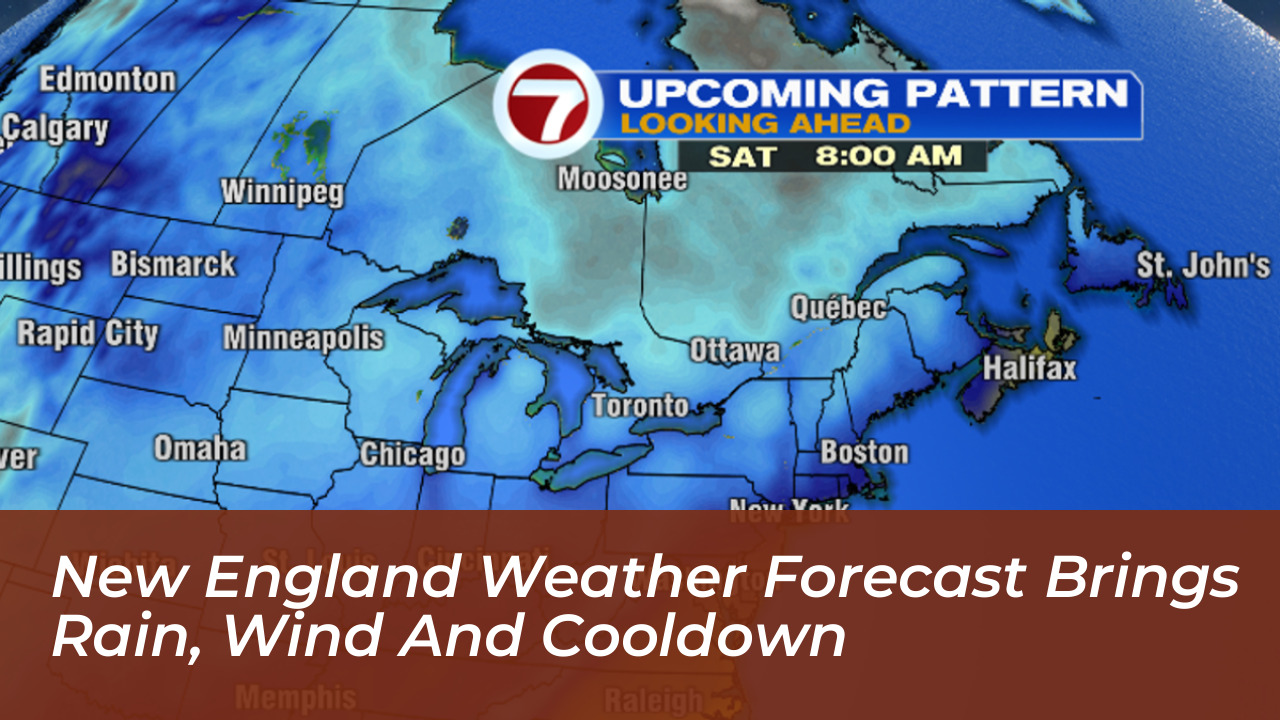

Southern New England is transitioning into a sharp mid-October weather pattern, bringing widespread rain, gusty winds, and a noticeable temperature drop into the 40s and 50s. According to forecasts published on October 14 by WHDH and NBC26, these unsettled conditions will persist before a gradual atmospheric recovery early next week. This raises concerns for the season’s first widespread freeze in vulnerable communities.
This sudden shift follows an unusually warm period across the region, where daytime readings in select locations climbed into the 80s. Temperatures subsequently retreated into the upper 60s before plunging into the upper 50s, aligning closer to typical climate averages for mid-October.
Temperature Breakdown and Wind Conditions
Forecasters at WHDH reported early morning lows dipping into the 40s and low 50s, followed by afternoon highs struggling to reach the low 60s. Persistent breezes throughout the region are producing wind gusts in the teens and 20s, significantly suppressing the wind chill factor despite intermittent periods of sunshine.
- Early morning lows: 40s to low 50s
- Afternoon highs: Low 60s
- Wind activity: Gusts reaching the teens and 20s
- Potential hazards: Risk of first seasonal freeze in interior locations
Atmospheric Dynamics Behind the Shift
Weather models indicate that the abrupt change is driven by an influx of cooler air sweeping down from the north. This contrasts sharply with the lingering warmth of the early fall season. Meteorologists emphasize that while such transitions are common during October, the speed of the temperature drop makes the conditions feel much harsher.
The cooler readings arriving this week are much more typical for mid-October, ending an unseasonably warm stretch that pushed records higher earlier in the month.
What to Expect Early Next Week
As the active weather system pushes further offshore, conditions are expected to stabilize slowly. Temperatures will hover near seasonal normals through the weekend before initiating a gradual recovery by early next week. Residents, particularly gardeners and agricultural operators, should monitor local updates closely for potential freeze warnings as overnight minimums continue to drop.