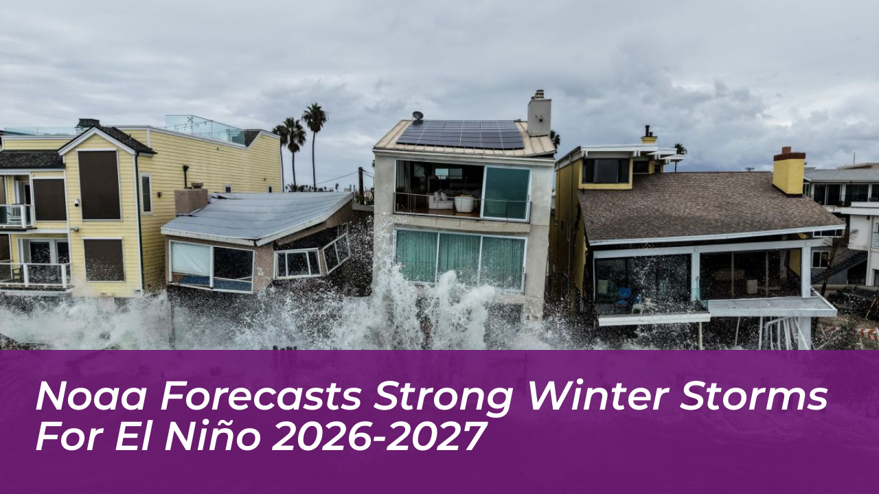

A near-record El Niño is expected to shape the United States’ winter weather in 2026-2027, bringing increased storm activity, above-average precipitation, and the potential for severe flooding and heavy snowfall. The National Oceanic and Atmospheric Administration (NOAA) released its official winter outlook, forecasting generally milder and wetter conditions across much of the country from December 2026 through February 2027.
According to NOAA forecasters, this powerful El Niño is likely to reach peak intensity between October and December, directly influencing atmospheric circulation and weather patterns throughout the winter season. Its effects could prove particularly pronounced along the West Coast, the Gulf Coast, and across the southern United States, where active storm tracks may deliver substantial rainfall and mountain snow.
The 2026-2027 El Niño Pattern
El Niño develops when tropical Pacific Ocean temperatures rise significantly above average, disrupting normal atmospheric circulation and altering weather systems worldwide. During strong El Niño events, the phenomenon typically forces a southward and eastward shift in the jet stream across the contiguous United States.
This redirected jet stream favors wetter and cooler conditions across southern states, while simultaneously bringing milder and drier weather to much of the northern tier. Record-warm global ocean temperatures are expected to intensify these impacts. Warmer water increases evaporation rates, and warmer air can hold significantly more moisture, potentially supplying incoming winter storms with extra precipitation as they move inland.
Regional Breakdown: What NOAA Predicts Across the U.S.
NOAA’s official winter outlook details distinct regional probabilities for temperatures, precipitation, and drought relief:
- Warmer North: Warmer-than-average temperatures are favored for northern California, the Pacific Northwest, the Midwest, the Mississippi Valley, much of the East Coast, Alaska, and Puerto Rico/U.S. Virgin Islands.
- Wetter South and East: Wetter-than-average conditions are most likely across the entire southern tier-stretching from the Southwest across Texas and the Gulf Coast to Florida-and extending up along the Eastern Seaboard.
- Drought Relief: Elevated precipitation is expected to improve or entirely resolve long-standing drought conditions across the Southwest, Southern Great Plains, Southeast, and parts of the East Coast.
- Drier Northern Areas: Drier-than-average conditions are favored for Hawaii, much of Alaska, the northern Mountain West, parts of the Great Lakes, and the western Pacific Islands.
Increased Risks of Flooding and Severe Weather
While increased rain and mountain snow will provide essential relief to drought-afflicted watersheds, federal meteorologists issue serious warnings regarding secondary hazards. Ken Graham, director of NOAA’s National Weather Service, emphasized the dangers of excessive precipitation falling on dry or vulnerable soil.
“While higher chances of rain and snow may bring relief to drought-afflicted areas, too much precipitation on dry soil can fuel destructive flash floods and mudslides. Now is the time for communities and individuals to plan ahead for the upcoming winter,” said Ken Graham.
Southern California, Arizona, New Mexico, Texas, and the Gulf Coast face heightened risks of heavy downpours, flash floods, and localized severe thunderstorms driven by repeated frontal passages.
New Forecasting Tools and Warning Upgrades
To help communities prepare for high-impact events during the 2026-27 winter season, NOAA has implemented crucial upgrades to its forecasting products and public safety messaging:
- Probabilistic Precipitation Portal: This newly operational platform allows emergency managers and the public to view low-end, expected, and high-end amounts of snow, ice, and rain via an interactive map with detailed tables and graphics.
- Particularly Dangerous Situation Wording: The National Weather Service will now incorporate “Particularly Dangerous Situation” (PDS) phrasing into select Blizzard Warnings and Ice Storm Warnings to alert the public of historically severe, life-threatening winter storms.
NOAA’s Climate Prediction Center updates its three-month seasonal outlook monthly. Residents are advised to monitor official updates at weather.gov and review safety guidelines as the winter storm season progresses.
Frequently Asked Questions
When is the 2026-2027 El Niño expected to peak?
NOAA forecasters project that the current El Niño will reach its peak intensity between October and December 2026, with strong impacts persisting through February 2027 before gradually weakening in the spring.
Which regions will experience the heaviest precipitation?
The highest probabilities for wetter-than-average conditions focus on the southern tier of the United States-stretching from California and the Desert Southwest across Texas, the Gulf Coast, and Florida-as well as up the entire Eastern Seaboard.
Will northern states get any snow during this El Niño?
Yes. While northern regions are favored to experience milder and overall drier conditions, major winter storms and snow events remain entirely possible across the Rockies, Midwest, Great Lakes, and Northeast depending on short-term cold air outbreaks.
What new safety alerts is NOAA introducing this winter?
The National Weather Service is implementing “Particularly Dangerous Situation” (PDS) terminology in high-confidence, historic Blizzard Warnings and Ice Storm Warnings to emphasize exceptional threats to life and safety.
Where can communities track updated winter forecasts?
Official watches, warnings, and updated three-month seasonal outlooks can be accessed directly through the National Weather Service website at weather.gov.