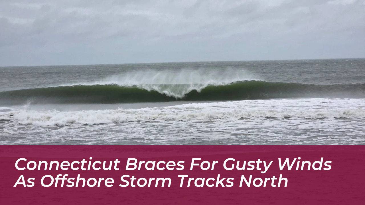

Connecticut is preparing for several days of gusty winds, passing high clouds, and dry weather. A large storm system is developing offshore along the Mid-Atlantic coast during the week of October 19, 2026. Forecasters note that high pressure positioned over the Northeast will largely prevent the system from bringing significant rainfall inland. This leaves most communities with a mix of sunshine and seasonable autumn temperatures.
Offshore Storm Dynamics and Track Uncertainty
Meteorologists across major networks, including NBC Connecticut, WFSB, and WTNH, indicate that the developing low-pressure system will remain situated offshore through midweek. However, its slow movement and potential strengthening fueled by the warmer waters of the Gulf Stream mean conditions are being closely monitored. The National Hurricane Center has highlighted a 40% chance that the storm could develop into a subtropical cyclone as it slowly tracks toward the northeast.
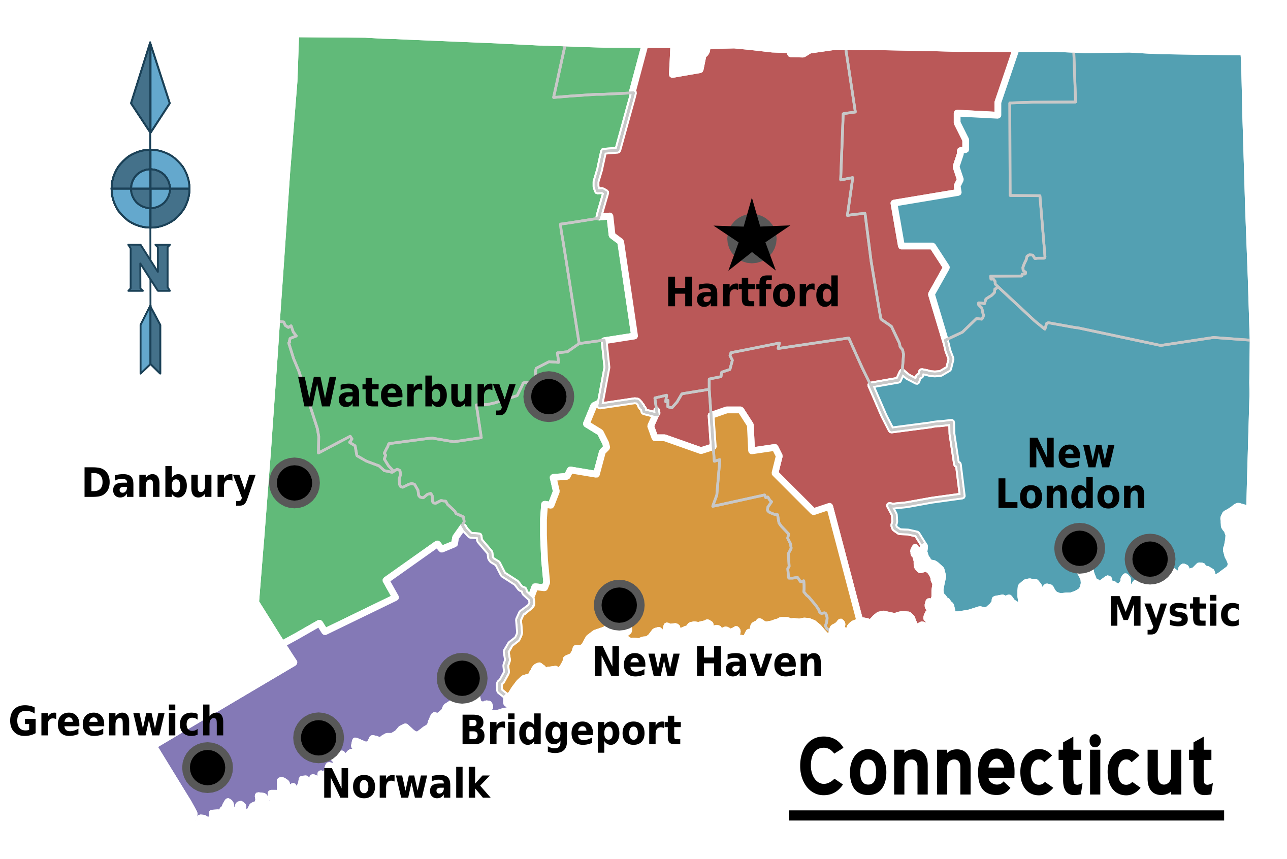
While consensus models favor the system staying far enough east to protect most of the state from heavy rainfall, any subtle westward shift in its track could alter local impacts. Southeastern Connecticut and the eastern end of Long Island remain most vulnerable to potential moisture if the storm edges closer.
Expected Local Impacts: Winds, Surf, and Temperatures
For the majority of Connecticut residents, the primary indicators of the offshore system will be increased cloud cover and noticeably brisk breezes. Wind gusts across interior communities could easily exceed 30 mph, while coastal areas may experience even stronger wind activity.
- Winds: Persistent north-to-northeast winds will range between 25 and 30 mph through midweek, with higher gusts along immediate shorelines.
- Temperatures: Highs will bounce back into the comfortable low-to-mid 60s with overnight lows dipping into the 40s. Persistent onshore winds may impart a raw, chilly feel near the coast.
- Marine Conditions: The National Weather Service has alerted mariners to rough seas, high surf, and potential beach erosion along exposed coastal stretches due to the prolonged onshore flow.
Regional Outlook Through the Weekend
Western and central Connecticut are expected to escape major disruptions, enjoying a largely dry stretch of weather with occasional high clouds. Communities along the immediate shoreline will need to watch for high surf and minor coastal flooding during high-tide cycles, driven by the persistent offshore fetch.
As the storm eventually tracks farther away from the region heading into the weekend, dry and stable conditions will settle back across Southern New England. Forecasters advise residents to stay tuned for updates as the exact trajectory of the system solidifies.