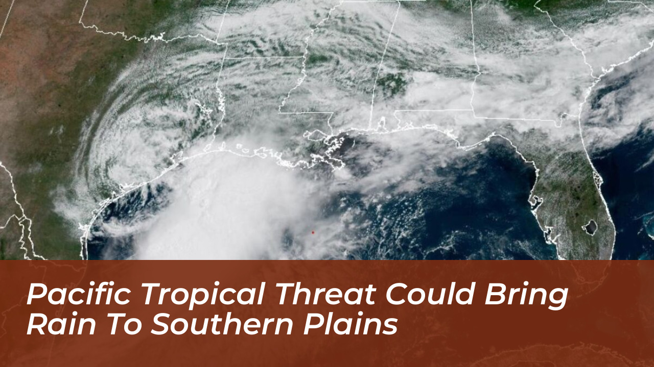

A developing tropical disturbance southwest of Mexico is being monitored for its potential to transport deep moisture northward into the southern United States. This system threatens parts of the southern Plains with heavy rainfall next week. AccuWeather hurricane experts are tracking high risks for tropical development across the eastern Pacific Ocean, with conditions favoring system formation from October 21 through October 23.
Tracking the Eastern Pacific Disturbance
The exact track of the developing system remains the primary factor in determining its ultimate geographical impacts. According to AccuWeather forecasts, the disturbance could either bring direct impacts to western Mexico or remain safely offshore while sending atmospheric moisture deep inland.
Alex DaSilva, AccuWeather Lead Hurricane Expert, highlighted the necessity for continuous observation by local populations in the projected paths. “Residents and businesses across western Mexico should closely monitor the progress of this developing system. The exact track of the system will play an important role in determining whether it brings impacts to western Mexico or remains offshore,” said DaSilva.
Potential Moisture Transport to the Southern Plains
While forecasters expect the center of the storm to stay well south of the United States border, residual tropical moisture could stream northward and infiltrate portions of the southern Plains. The total volume and exact placement of upcoming rainfall will depend on how quickly and strongly the system organizes over the coming days.
This potential weather setup follows a historically active stretch of tropical systems in the eastern Pacific basin, which previously featured overlapping storms such as Polo, Simon, Rachel, and Trudy. These past events underscore how tropical activity off the Mexican coast can heavily influence weather patterns and water availability thousands of miles away.
Additional Tropical Monitoring Southwest of Hawaii
In addition to monitoring the system near Mexico, AccuWeather’s meteorological team is observing a low risk for tropical development further west, located southwest of Hawaii. This secondary area is projected to develop between October 24 and October 27. Current predictive tracks indicate that any system forming in this region will likely move away from the Hawaiian Islands, minimizing direct threats to land while experts continue to monitor structural organization changes.
Frequently Asked Questions
What is causing the potential rainfall threat in the southern Plains?
A developing tropical disturbance in the eastern Pacific southwest of Mexico is expected to generate deep moisture that could stream northward into the southern United States.
When is tropical development most likely to occur off Mexico?
AccuWeather hurricane experts indicate that the window for a high risk of tropical development in the eastern Pacific runs from October 21 through October 23.
Will the center of the tropical system hit the United States?
Current forecasts suggest the center of the storm is expected to remain well south of the United States, but residual tropical moisture could still reach the southern Plains.
Who warned residents about tracking the developing system?
Alex DaSilva, AccuWeather Lead Hurricane Expert, advised residents and businesses across western Mexico and surrounding areas to monitor the system’s progress closely.
Are other tropical systems being tracked globally?
Yes, AccuWeather experts are also monitoring a low risk of tropical development located southwest of Hawaii scheduled for potential formation between October 24 and October 27.