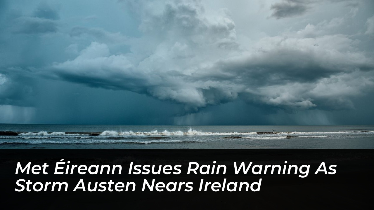

Ireland is bracing for severe weather as Storm Austen moves east across the Atlantic. Met Éireann has issued a series of Status Yellow rain warnings. The national forecaster cautions that this weather system will bring heavy rain, localized flooding, and strong winds. These conditions are expected to disrupt travel and outdoor activities.
The main Status Yellow rain warning takes effect nationwide on Thursday at 7 p.m. and lasts until Friday at 8 a.m. A separate Status Yellow warning was issued for Dublin and Wicklow. This alert runs from Wednesday at 1 a.m. until 8 a.m. to cover an earlier spell of heavy rain.
Storm Austen and Its Trajectory
Storm Austen is the first named storm of the 2026/2027 season. Aoife Kealy, deputy head of forecasts at Met Éireann, stated that the system is developing rapidly in the Atlantic Ocean with help from a powerful jet stream.
“It’s getting help basically from a strong jet stream. So it’s deepening as it approaches western Europe and the UK. As it passes to the south of us, it’s going to bring that strong or the heavy rain and potentially some strong winds,” Kealy stated.
The strongest winds will likely impact parts of the UK closer to the low-pressure center. However, forecasters warn that strong gusts will still affect parts of Ireland. Because low-pressure tracks change quickly, Met Éireann may update warnings as the exact path of Storm Austen becomes clearer on Wednesday and Thursday.
Potential Impacts and Safety Advisories
The oncoming weather front poses several challenges for residents and infrastructure:
- Difficult Travel Conditions: Reduced visibility and standing water on roads will create hazardous commuting conditions from Thursday night into Friday morning.
- Localized Flooding: Persistent heavy rain increases the risk of surface water, especially in low-lying areas and urban zones with poor drainage.
- Disrupted Outdoor Events: Public activities scheduled for Thursday evening and Friday morning may face delays or cancellations.
Meteorologists advise the public to monitor official updates. Small shifts in the low-pressure track can change which regions experience the worst weather on Thursday night.
Origins of the Storm Name
Met Éireann named the storm in honor of Austen H. Nagle. Nagle served as the first director of the Irish Meteorological Service after his appointment in 1936. As the storm approaches, authorities urge everyone to exercise caution and stay informed through official channels.