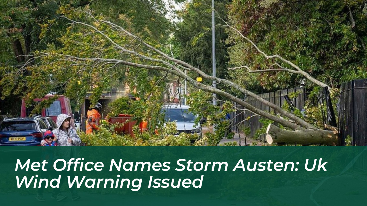

The Met Office has officially named the first storm of the autumn season, Storm Austen. The system is forecast to bring severe gales and heavy downpours to parts of the United Kingdom. A yellow wind warning is in effect as a rapidly deepening area of low pressure approaches from the Atlantic. This storm threatens travel disruption, potential structural damage, and power cuts across southern regions.
The severe weather system will make its primary impact felt starting late Thursday night and continuing through Friday morning. The yellow wind warning begins at midnight on Friday and runs until 12:00 BST. The alert primarily covers south Wales, south-west England, and the southern coastal counties of England, where the strongest and most destructive gusts are anticipated.
Impact Areas and Expected Wind Speeds
Met Office Deputy Chief Forecaster Tom Crabtree highlighted the potential severity of the incoming system. While the exact track of Storm Austen remains under continuous review, meteorologists warn that peak wind gusts could exceed 70 mph in the most exposed coastal locations.
More widely across the warning area-including parts of southern England, west Wales, and sections of the Midlands-sustained wind speeds of 50 to 60 mph are expected. Local authorities and emergency services have urged residents in affected zones, such as Bath and North East Somerset, Bournemouth, Christchurch, Poole, and South Gloucestershire, to stay updated with local forecasts and prepare for potential disruptions.
- Peak coastal gusts: Up to 70 mph or more
- Broader warning area gusts: 50 to 60 mph
- Expected rainfall: 20 to 30 mm widely, with higher totals over western high ground
- Warning duration: Friday from midnight to 12:00 BST
Timeline of Unsettled Weather
The arrival of Storm Austen follows a period of increasingly unsettled conditions across the UK. Rain will affect parts of the country earlier in the week on Tuesday and Wednesday, before strengthening winds build around west Wales and southern England.
By Thursday night, heavy rain will spread rapidly across England and Wales, accompanied by the deepening Atlantic low-pressure system. The core of Storm Austen is projected to clear away into the North Sea by Friday afternoon, causing winds to ease from the south-west, though the wider region will remain blustery.
Scotland and Northern Ireland are largely expected to miss the primary impacts of Storm Austen. However, a separate, unnamed area of low pressure will approach Scotland on Saturday, bringing its own windy conditions and potential travel restrictions to western coastal routes and bridges.
Safety Advice and Precautions
With a high likelihood of travel delays on roads, rails, and ferries, transportation agencies advise commuters to check schedules before setting out. Property owners in southern coastal regions are encouraged to secure loose outdoor items to prevent debris-related hazards.
The Met Office continues to monitor the progression of Storm Austen and emphasizes that weather warnings are subject to updates as confidence in the storm’s exact trajectory increases.