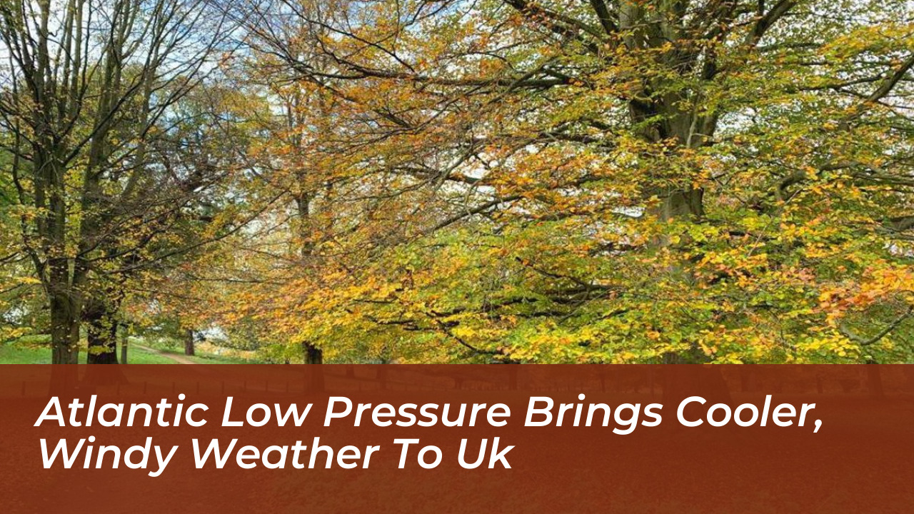
The UK and Ireland have experienced a sharp transition in weather conditions. They shifted from unseasonably warm and muggy spells to a fresher, more unsettled pattern driven by deep Atlantic low-pressure systems. Following a surge of warm air from Iberia that pushed temperatures to a high of 28.1°C at Kew Gardens, the arrival of cooler Atlantic air has brought widespread strong winds, heavy rain, and noticeably lower temperatures across both nations.
Impact of Deep Low-Pressure Systems on Ireland and Britain
The dramatic shift began as a deep low-pressure system moved close to Ireland. It brought severe winds and heavy downpours. According to ESB Networks, the Irish electricity distributor, the severe weather resulted in fallen trees, blocked roads, and widespread power outages across several regions. Meanwhile, eastern Scotland and parts of England recorded muggy conditions. Early morning temperatures remained above 20°C before the weather fronts swept through.
Meteorologists noted that the merging of low-pressure systems intensified rapidly off the coast of Ireland. The core of the strongest winds largely stayed offshore. However, coastal areas of Ireland and the western coasts of the mainland UK faced gale-force winds, rough seas, and potential risks of wave overtopping due to spring tides.
Midweek Weather Outlook and Rising Pressure
The active weather fronts are tracking eastward into the North Sea. A temporary bridge of high pressure is expected to build across parts of southern England and France. This build-up will offer a brief window of drier, sunnier, and more settled conditions. However, this respite will be short-lived for northern and western areas.
- Northern Ireland and Scotland: Atlantic weather fronts continue to bring persistent showers and occasional spells of heavier rain.
- England and Wales: Temperatures have dropped closer to seasonal averages, with maximum readings reaching around 15°C to 22°C depending on the region.
- Coastal Regions: Blustery westerly winds continue to affect exposed coasts and higher ground, including the Pennines and Scottish Highlands.
Looking Ahead: More Atlantic Systems on the Horizon
The return to a standard autumn pattern means the jet stream is once again directing Atlantic low-pressure systems toward Western Europe. Forecasters are monitoring upcoming weather tracks closely. They want to determine whether subsequent systems approaching by the weekend will develop into named storms. Southern Britain may see high pressure holding firm and restricting rain largely to northern Scotland. Yet, the overall outlook remains changeable. It is characterized by frequent showers, brisk winds, and typical late-season variability.