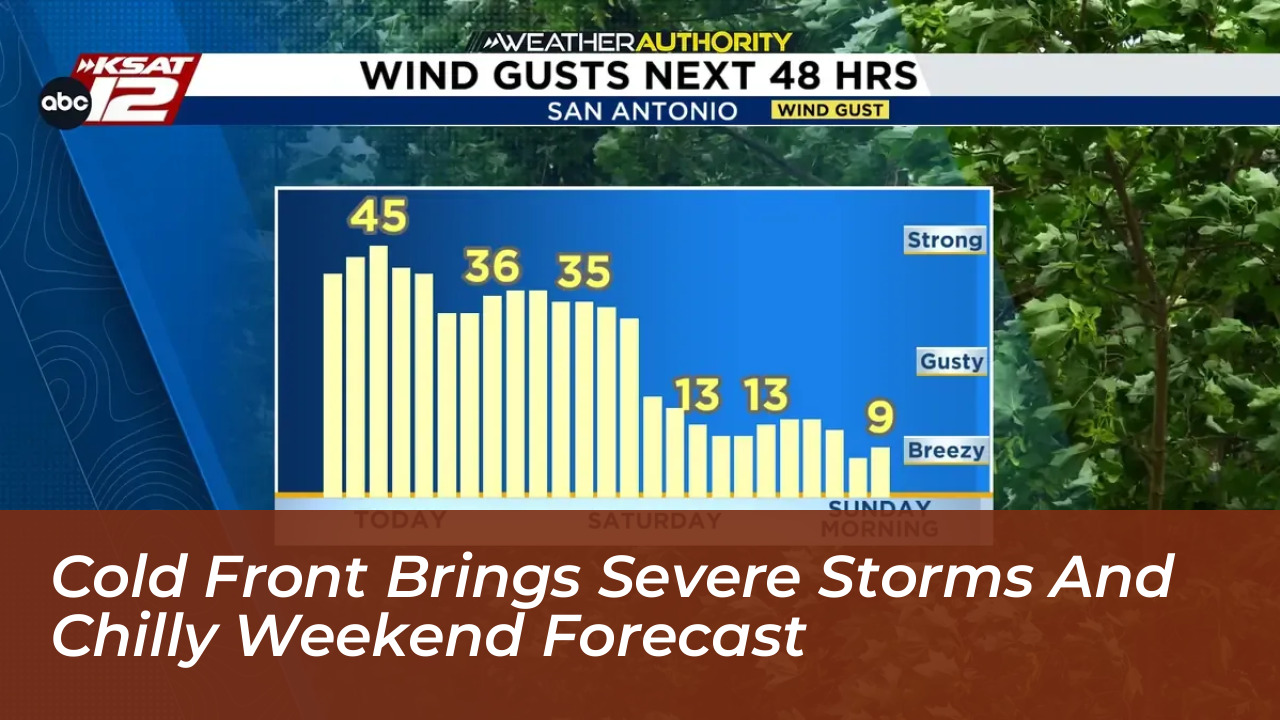

A strong cold front is sweeping across the tri-state area this Friday, October 16, 2026. The front brings a fast-moving line of strong to severe thunderstorms. Before the storms arrive, the region will feel brief warmth and humidity, with afternoon highs reaching the mid-70s. However, the atmosphere will quickly turn unstable as the boundary pushes closer later in the day.
Severe Weather Outlook and Timing
Meteorologists warn that destructive wind gusts pose the greatest threat with this system. Strong storms will first develop west of New York City during the late afternoon and evening hours. Areas near the Delaware Water Gap and parts of eastern Pennsylvania face the highest risk.
In addition to straight-line wind damage, forecasters note that isolated tornadoes cannot be ruled out along the advancing line. The storm threat will taper off quickly from west to east around sunset as the front pushes offshore.
Transition to a Chilly Weekend
Once the severe storms clear, an unseasonably cold air mass will rush into the region. Overnight temperatures will plummet into the 40s, setting up an abrupt shift to late-autumn conditions.
- Saturday: Expect blustery and cold conditions throughout the day. High temperatures will struggle to reach the lower 50s. Wind gusts of 40 to 45 mph will make conditions feel even colder.
- Saturday Night: Winds will subside under mostly clear skies. Overnight lows will drop into the mid-30s, setting the stage for widespread frost by early Sunday morning.
- Sunday: After a frosty start, sunny skies will prevail. Highs will remain cool, offering a crisp, bright, and dry conclusion to the weekend.
Safety and Preparation
Because damaging wind gusts are likely, residents should secure loose outdoor furniture, trash bins, and decorations before Friday afternoon. Drivers should also remain alert for downed tree limbs and sudden power outages during the evening commute.
The sudden drop in temperature-falling from the 70s on Friday to the 50s on Saturday-will bring a noticeable shock to the system across the Northeast. Gardeners and growers should take precautions Saturday night to protect sensitive vegetation from freezing temperatures and heavy morning frost.
Extended Outlook
High pressure will build across the region early next week, bringing calmer conditions. This weather pattern will stabilize the atmosphere and produce classic fall weather. Daytime highs will rebound into the mid-60s with plenty of sunshine. Forecasters expect this quiet, dry pattern to continue through the second half of October, providing a welcome break from volatile storm activity.