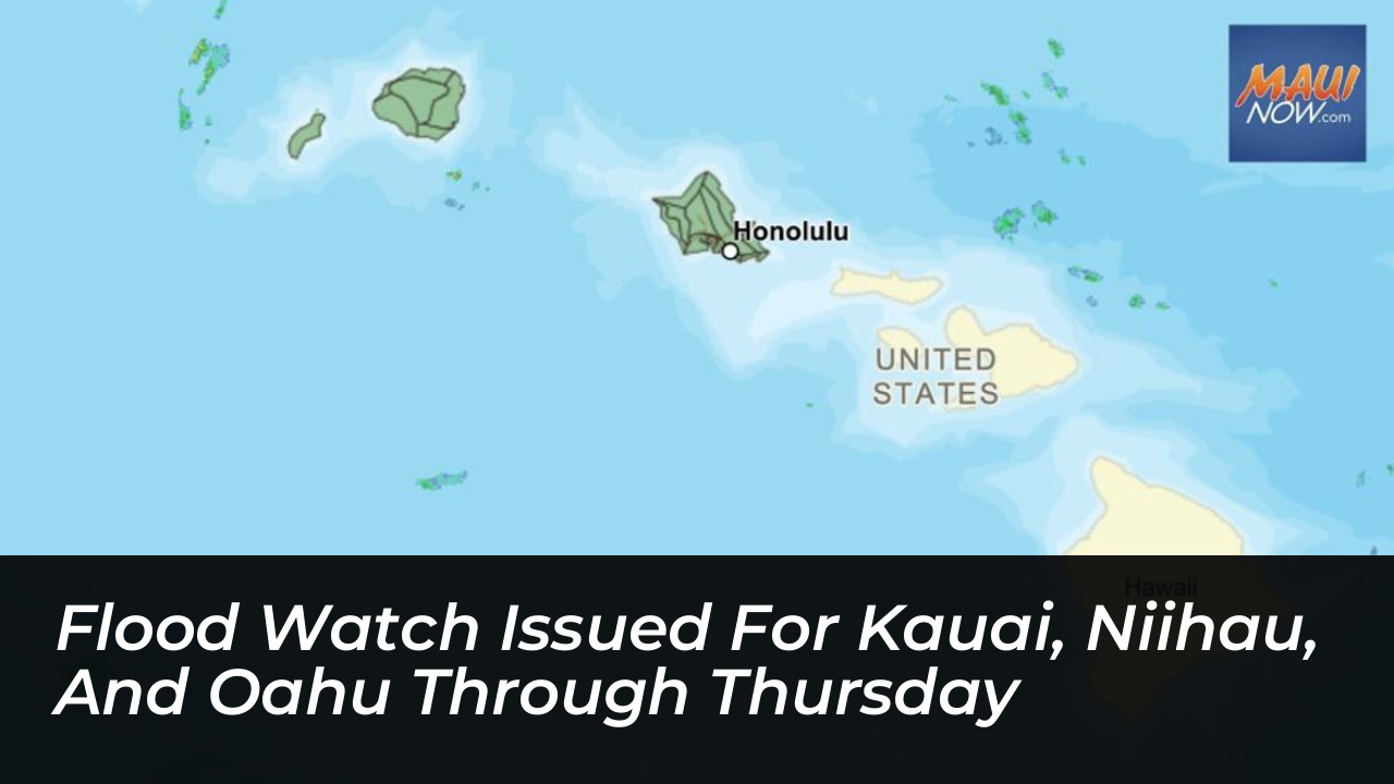


A Flood Watch has officially been issued for Kauai, Niihau, and Oahu starting Wednesday night and remaining in effect through Thursday afternoon. According to the National Weather Service (NWS), deep tropical moisture is moving northward over the Hawaiian Islands, combining with an approaching cold front to significantly elevate the risk of heavy rainfall and subsequent flooding.
Threat of Heavy Rains and Isolated Thunderstorms
Meteorologists forecast that heavy showers and isolated thunderstorms will develop Wednesday night, persisting across the watch area through Thursday. The unfolding weather pattern is driven by a developing area of low pressure situated north of the Hawaiian chain, which is drawing moisture directly into the western islands.
Forecasters warn that these heavy showers could begin training, meaning they repeatedly move over the exact same geographic locations. This phenomenon can generate intense rain rates in a short period, heavily increasing the likelihood of rapid runoff, overflowing streams, and saturated soils.
Potential Impacts on Vulnerable Infrastructure
Local authorities and weather officials have outlined several key hazards expected during the duration of the Flood Watch:
- Road Closures: Flood-prone roads and low-lying transit corridors may experience temporary closures due to elevated runoff and swollen streams.
- Urban Flooding: Built-up urban environments are at risk of significant water accumulation, potentially leading to property damage from rapid surface runoff.
- Isolated Power Disruptions: Thunderstorms may bring localized strong wind gusts and reduced visibility for drivers.
This weather threat follows earlier storm activity from earlier in the week that dropped heavy rain on Windward Oahu. That system resulted in flash flood warnings, temporary road closures along Kamehameha Highway near the Waikane Valley Bridge, and stranded vehicles in knee-deep water.
Public Safety Guidelines
Residents and visitors residing across Kauai County, Niihau, and Oahu are strongly urged to monitor updated weather reports from official channels. Individuals living in low-lying or historically flood-prone neighborhoods should review their safety plans and remain prepared to take immediate action if the National Weather Service escalates the watch to active Flash Flood Warnings.
Weather models suggest that while the primary threats from this moisture plume will peak through Thursday afternoon, unsettled atmospheric conditions could continue to impact parts of the region as trade winds experience disruptions heading into the weekend.