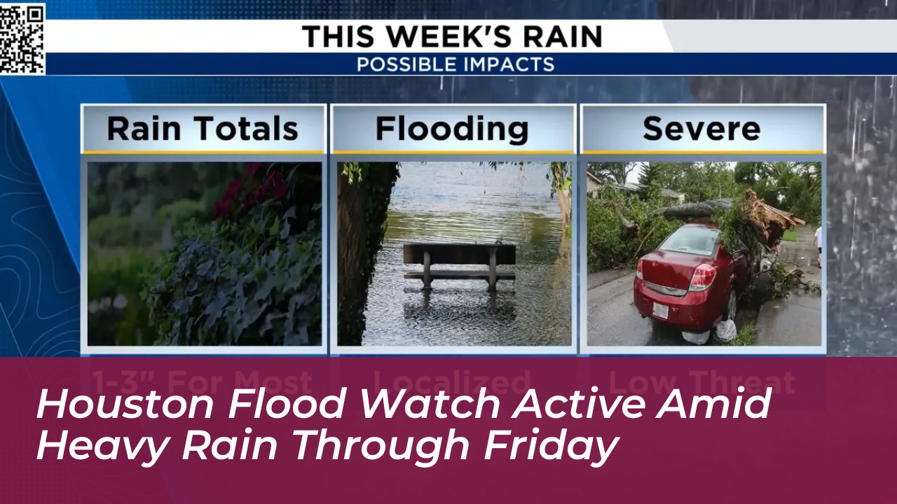
Houston and several neighboring counties remain under a flood watch through Friday evening as persistent rounds of heavy rain move across the region, according to local meteorologists. The heaviest downpours are concentrated primarily west and northwest of the city, raising localized flood concerns for residents and commuters.
The active flood watch encompasses multiple counties, including Walker, Grimes, Montgomery, Waller, Harris, Wharton, Fort Bend, and Jackson. Communities such as College Station, Brenham, Sealy, and Columbus are anticipated to experience the most significant rainfall accumulations within a 24-hour window.
Rainfall Totals and Regional Impact
Forecasters indicate that rainfall totals across the majority of Southeast Texas will generally range between 1 to 3 inches. Meanwhile, parts of central Texas could record between 3 to 6 inches or more, creating a heightened risk of localized flooding where severe storms repeatedly pass over the same saturated ground.
Emergency management officials and weather authorities strongly advise residents to exercise caution. Motorists and pedestrians must avoid any flooded roadways and low-lying areas, as water levels can rise rapidly during heavy downpours.
Weekend Outlook and Incoming Cooler Weather
As the persistent weather system gradually shifts eastward over the weekend, rain chances will begin to focus more toward the coast and areas east of Houston by Saturday and Sunday.
Following the departure of the wet weather pattern, Southeast Texas is expected to experience a noticeable shift toward autumn. High temperatures next week will remain slightly below normal in the middle 80s, with overnight temperatures dipping into the comfortable 60s by Monday night, offering a welcome break from prolonged high heat.
Essential Safety Guidelines During a Flood Watch
- Never attempt to drive or walk through flooded streets or barricaded roadways.
- Monitor local weather alerts and updates from official forecasting channels continuously.
- Secure outdoor objects that could be swept away by rising water or strong wind gusts.
- Keep emergency kits and communication devices fully charged in case of power disruptions.