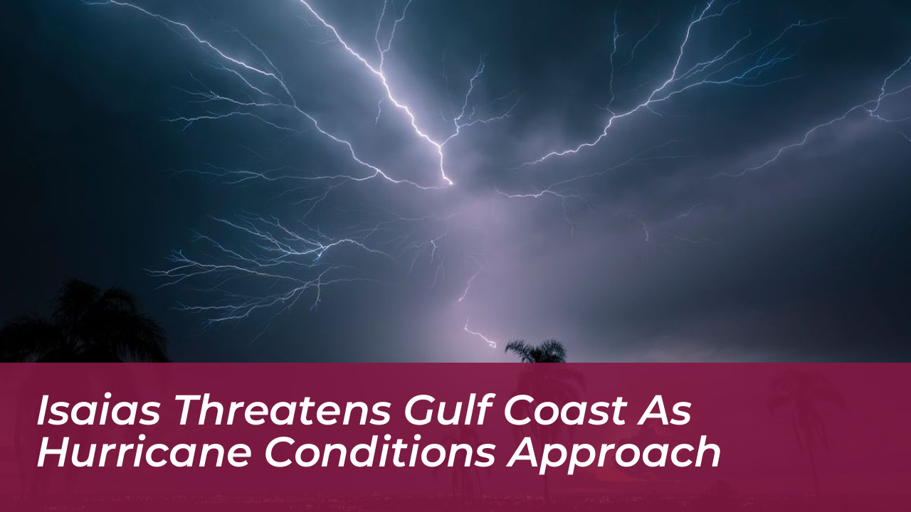


Tropical Storm Isaias is tracking toward the northern Gulf Coast after forming in the Gulf of Mexico. The National Hurricane Center has warned of dangerous winds, life-threatening storm surges, and severe flooding. Forecasters report that the system could rapidly intensify into a hurricane before making landfall along the U.S. coast early Saturday.
According to the National Hurricane Center, Isaias was located about 260 miles northwest of Progreso, Mexico, and 540 miles southwest of the Mississippi River mouth. The system carried maximum sustained winds of 45 mph while moving east-northeast at a speed of 8 mph.
Hurricane Watches Issued Along the Gulf Coast
Authorities issued a hurricane watch stretching from Bay St. Louis, Mississippi, to Indian Pass in the Florida Panhandle. A hurricane watch indicates that hurricane conditions are possible within a 48-hour window, giving residents limited time to complete emergency preparations.
Tropical storm watches and storm surge watches also cover surrounding areas from Louisiana through Florida. Forecasters emphasize that impacts will extend far beyond the immediate point of landfall, bringing heavy rainfall and potential coastal flooding to the wider Southeast region.
Potential Strength and Offshore Energy Impacts
Warm Gulf waters with temperatures well into the 80s provide plenty of fuel for rapid intensification. The National Hurricane Center expects Isaias to develop into a hurricane by Thursday and potentially reach Category 2 strength before making landfall.
Meteorologists note that the storm will face strong upper-level winds, known as vertical wind shear, in its final 24 hours. While wind shear can disrupt tropical systems and cause them to weaken slightly right before landfall, forecasters warn that Isaias is still on track to be a significant hurricane.
The storm’s projected path takes it through regions with heavy offshore oil and gas production, as well as crucial onshore refining infrastructure. Energy analysts and consulting firms warn that extended shut-ins could impact regional inventories and influence fuel prices.
Heavy Rainfall and Flood Risks
Rainfall totals could reach isolated amounts of up to 10 inches across parts of the Gulf Coast, stretching from Louisiana to the Florida Panhandle. Inland areas across the Southeast may see 3 inches or more of rain, creating serious risks for flash, urban, and isolated river flooding.
Emergency management officials urge residents in low-lying and flood-prone areas to monitor official forecasts, secure property, and heed any local evacuation orders as the storm approaches.