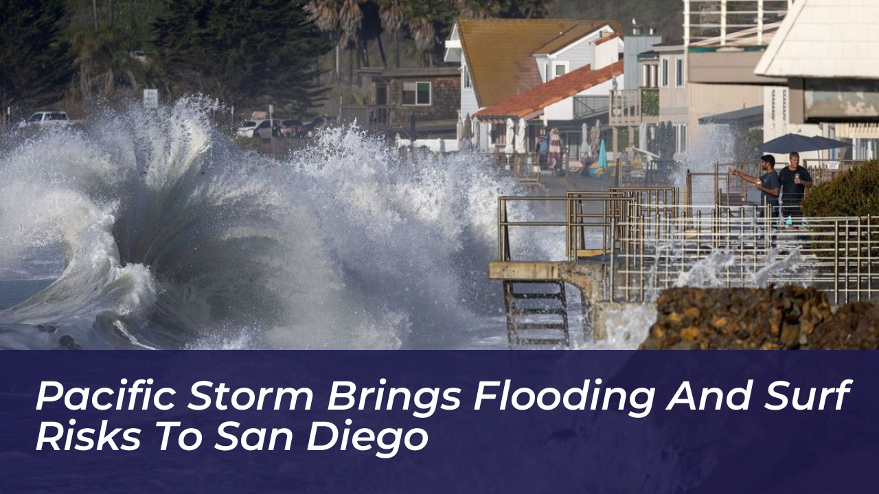


San Diego and Orange counties face a heightened risk of coastal flooding, dangerous rip currents, and elevated surf this week as a powerful Pacific storm system tracks toward Southern California. Although the storm is not currently forecast to make landfall directly on the coast, its expansive energy and deep tropical moisture plume are prompting urgent weather advisories across the region.
According to the National Weather Service, a beach hazards statement remains in effect through Friday evening. Additionally, a coastal flood advisory has been issued, highlighting potential water hazards for low-lying beach communities, piers, and coastal roadways.
Coastal Hazards and Advisory Details
The National Weather Service notes that the storm’s intensification over the ocean is generating powerful swells that began impacting Southern California shores earlier this week. Orange and San Diego counties are bearing the brunt of these rough ocean conditions. Forecasters warn of hazardous swimming conditions, potential beach erosion, and significant risks for local boaters.
The formal timeline for the weather alerts includes:
- Beach Hazards Statement: Active from Tuesday afternoon through Friday evening, focusing on dangerous rip currents and high surf.
- Coastal Flood Advisories: Running from 6 a.m. Wednesday through 11 a.m. Friday, targeting vulnerable shoreline areas prone to minor inundation during high tide cycles.
Meteorologists emphasize that the strongest ocean impacts often arrive well in advance of the storm’s center. Beachgoers, surfers, and coastal residents are urged to exercise extreme caution and avoid entering the water if rip-current warnings are posted.
Potential for Heavy Rain and Inland Impacts
Beyond coastal flooding, the system is expected to carry substantial moisture inland. While California coastal waters are typically too cool to sustain a full tropical hurricane, storms transitioning into post-tropical cyclones can still transport heavy rainfall, gusty winds, and localized flash-flood threats to Southern and Central California.
Forecasters are monitoring the potential for intense downpours, particularly in urban areas with poor drainage, canyons, and recent wildfire burn scars. Desert communities, mountain passes, and inland valleys could also experience rapid runoff in normally dry washes and low-water crossings.
Recommended Precautions for Residents
Local emergency management officials recommend that residents in Southern California take proactive steps to prepare for potential disruptions:
- Monitor ongoing updates from the National Weather Service and local authorities.
- Clear gutters, storm drains, and property runoffs to prevent localized pooling.
- Stay clear of ocean jetties, piers, and beaches experiencing high surf.
- Review personal emergency plans and know whether your neighborhood is prone to coastal erosion or street flooding.
As the weather pattern continues to evolve, forecasters urge the public to stay informed on changing conditions through the remainder of the week and heed all local safety directives.