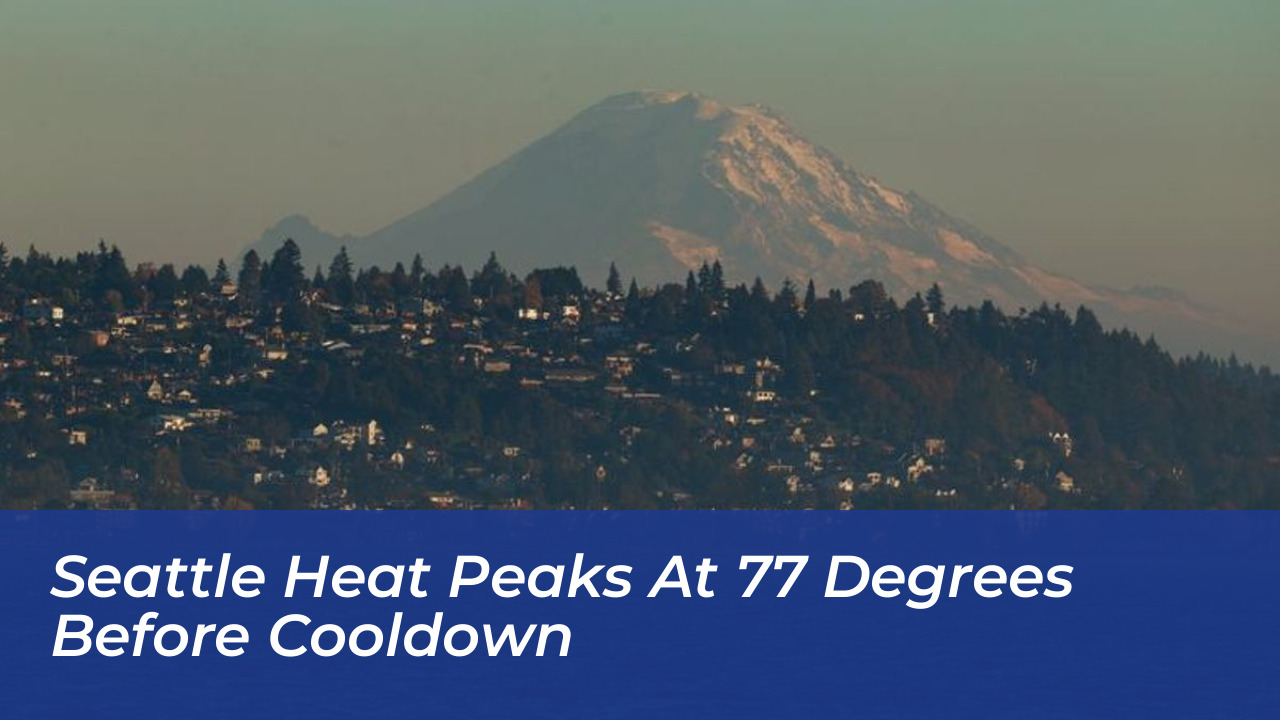

Seattle experienced an unusually warm stretch of fall weather as temperatures reached 77 degrees on Friday, October 16, 2026. A weakening weather system was expected to bring cooler conditions over the weekend. The National Weather Service recorded a high 17 degrees above the normal 60 degrees for the date. Forecasts called for limited rainfall and temperatures closer to seasonal averages.
National Weather Service Climate Summary and Observations
According to the National Weather Service, Seattle’s morning low was 46 degrees, one degree below normal. Friday’s afternoon warmth stood well above typical October conditions. However, it remained below the city’s record high of 88 degrees set on October 16, 2022. West Seattle Blog published photographs of a pink sunset that followed the unusually warm day. These images documented a colorful end to conditions that felt more like summer.
National Weather Service meteorologist Dana Felton noted that Thursday’s temperature reached approximately 68 degrees, approaching the 70-degree mark. Friday’s forecast called for highs in the low 70s, which was about 10 degrees above normal. The observed high ultimately exceeded expectations and reached 77 degrees.
Meteorological Factors Behind the October Warmth
Regional weather experts pointed to a familiar atmospheric setup driving the unseasonable warmth. A strong ridge of high pressure built over the West Coast, which flipped the region’s usual wind direction.
- Offshore Flow: Winds shifted to come from east of the Cascades instead of blowing in from the cool ocean.
- Downslope Warming: As drier air moved down the Cascades, it compressed and warmed further. This process drove afternoon temperatures even higher.
- Breezy Foothills: Gusts reached 20 to 35 mph in the Cascade foothills. These winds remained well below damage thresholds while delivering clear, sunny skies.
Weekend Cooldown and Return of Rain
The unseasonable heat wave proved short-lived as the high-pressure system shifted inland. A weak Pacific weather system moved ashore over the weekend. This system brought light rainfall and dropped afternoon highs back down to the low 60s and upper 50s. While sun enthusiasts enjoyed a final taste of late-summer warmth, the transition marked a return to typical, gray autumn weather patterns across western Washington.