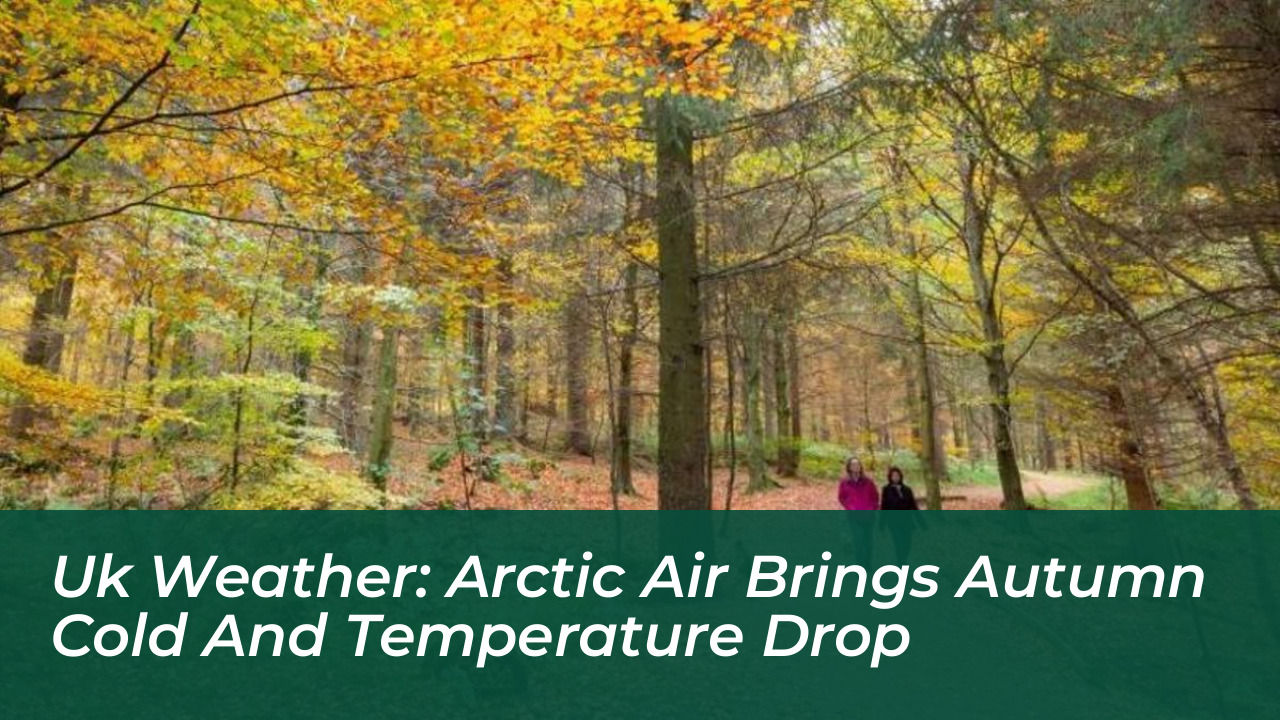


A southerly shift in the jet stream is pulling cold Arctic air across the United Kingdom. This shift causes temperatures to drop sharply and delivers the coldest night of the autumn season so far. According to the BBC, afternoon highs on Wednesday will fall to between 12°C and 14°C in Northern Ireland and Scotland. England and Wales will range from 14°C to 16°C.
Overnight temperatures will plunge near freezing by Thursday dawn. They will drop to around 5°C to 7°C for most regions. Eastern Scotland and northern England will experience a noticeable grass frost. The weather shift also brings 20mm to 30mm of rain to dry areas in southern and eastern England. This offers relief to regions where nearly three-quarters of England remains in drought.
London Temperatures Plunge Amid Heavy Rain and Showers
In London, temperatures will drop by almost 10°C compared to earlier in the week. They will fall from early highs of 23°C down to 15°C on Wednesday and Thursday. Winds and heavy rain will hit the capital. Showery conditions will continue into the weekend as temperatures stabilize closer to the October average of 18°C, according to the Evening Standard.
So far this autumn, the jet stream has been sitting to the north. This stream determines what sort of air mass affects the UK. This pattern allowed mild south or south-westerly winds to flow across the southern half of the British Isles. This week, however, the jet stream is sinking further south. This change allows winds to turn northerly and introduce a much colder air mass.
Impact on Drought Conditions and Regional Forecasts
Northern parts of the UK have already seen temperatures near the seasonal average this month. Meanwhile, the south has consistently remained several degrees above average, with locations recording above 20°C every day since June 11. The incoming frontal system will change this dynamic significantly.

Wednesday will start cloudy and wet as the front drifts eastwards. Southern and eastern England could receive up to half a month’s rainfall in just 24 hours. This will help alleviate dry conditions monitored by the Environment Agency.
- Northern Ireland & Scotland: Wednesday afternoon highs of 12°C to 14°C, turning cooler with scattered showers.
- England & Wales: Afternoon highs between 14°C and 16°C, accompanied by prolonged rain bands spreading east.
- London & The South East: Temperatures falling from early highs of 23°C to around 15°C by midweek.
Outlook and Expected Return to Milder Conditions
The chilly feel to the weather will persist into Thursday. Maximum temperatures will range from 11°C to 16°C from north to south. Despite the chill, plenty of dry and bright weather will make afternoons feel pleasant in the sunshine.
By Friday, temperatures will rise once more as westerly winds push milder air across England and Wales. Parts of the east could reach 20°C again. Further north, no frost is expected by Friday dawn, and afternoon highs will peak in the mid-teens Celsius.