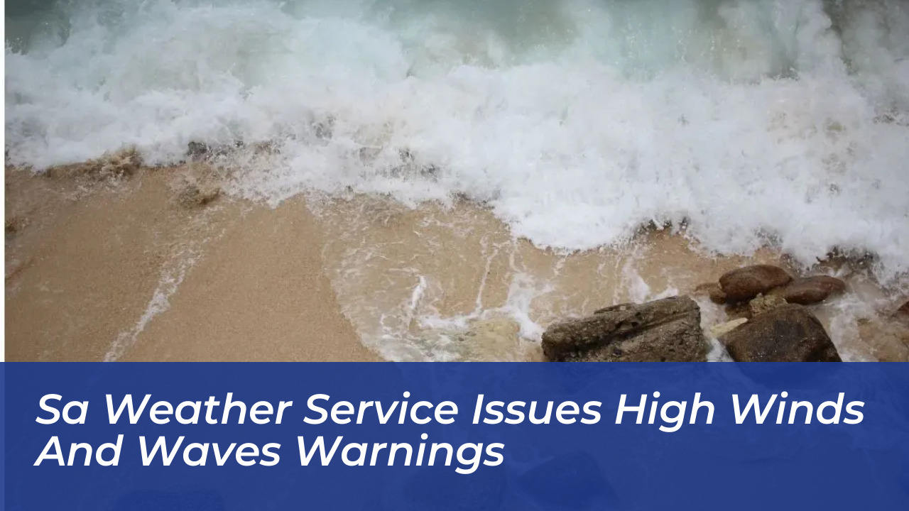


The South African Weather Service (SAWS) issued severe coastal warnings on Wednesday, October 7, 2026. The agency cautioned residents against damaging winds and high waves across multiple maritime regions while temperatures remain cool to warm nationwide.
Coastal Warnings and Maritime Alerts
A Yellow Level 2 warning was placed along the KwaZulu-Natal coast. Here, intense atmospheric turbulence threatens beachfront activities and navigation at sea. Authorities cautioned that incoming conditions will likely disrupt local shipping lanes and coastal recreational operations throughout the day.
Additionally, a Yellow Level 1 warning spans the maritime corridor between Alexander Bay and Plettenberg Bay through Thursday. Officials warned that hazardous wave activity presents capsizing risks for smaller vessels and complicates navigation for larger sea traffic.
SAWS Warning Levels
In the South African Weather Service’s colour-coded weather warning system:
- Yellow: Indicates a moderate risk of impact that requires caution and awareness.
- Orange: Indicates that a higher-risk impact is expected, requiring increased attention and preparation.
The numerical rating system indicates the relative likelihood of weather-based impacts occurring. Levels 2 and 6 denote high probability, Level 5 signifies medium likelihood, and Levels 4 and 8 represent low likelihood.

Regional Weather Outlook Across Provinces
While coastal areas battle rough seas and heavy winds, interior and northern provinces experience varying weather patterns:
- Gauteng: Partly cloudy and cool, turning warm in the north. Johannesburg ranges from 11°C to 23°C, while Pretoria reaches 25°C.
- Mpumalanga: Cloudy in the east with isolated showers and rain, otherwise partly cloudy and warm with Mbombela reaching a high of 27°C.
- Limpopo: Morning cloud cover with isolated showers and thundershowers in the east, becoming scattered in the extreme north-east. Polokwane records temperatures between 13°C and 23°C.
- North West: Morning fog patches in the north-east, followed by partly cloudy and cool to warm conditions with isolated showers and thundershowers.
- Free State: Partly cloudy and cool to warm with isolated thundershowers, accompanied by windy conditions in the extreme east and west.
- Northern Cape: Cloudy to cool in the western and southern parts with early morning rain, transitioning to fine conditions over northern and north-western areas by evening.
- Western Cape: Cool to cold conditions with scattered showers clearing from the west by the afternoon, alongside strong to near-gale coastal winds.
- Eastern Cape: Warm initially in the western half, becoming cloudy and windy with scattered showers and thundershowers.
- KwaZulu-Natal: Morning interior fog gives way to fine and warm-to-hot conditions before afternoon cloud cover and thundershowers develop.
Residents, marine operators, and travelers operating in affected zones are advised to monitor ongoing updates from SAWS and adhere strictly to all local safety advisories.