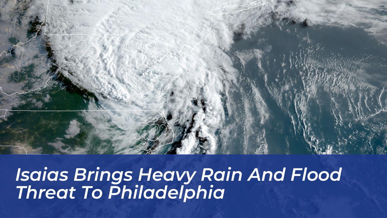

Hurricane Isaias is tracking toward the Northeast corridor, threatening the Philadelphia region with heavy rainfall and potential urban flooding as the weekend concludes. Meteorologists expect the system to lose its tropical characteristics after making landfall along the northern Gulf Coast. However, its remaining moisture will still deliver a significant soaking to Pennsylvania, New Jersey, and Delaware.
Federal forecasters at the Weather Prediction Center in College Park, Maryland, noted that the system carries a very moist air mass. While the storm will not arrive with hurricane-force winds in the Mid-Atlantic, it brings enough atmospheric energy to support embedded thunderstorms, gusty winds, and localized downpours.
When Rain Will Arrive in the Philadelphia Region
Following a clear and seasonable Saturday with highs in the 70s, conditions will deteriorate rapidly by Sunday. National Weather Service meteorologists in Mount Holly, New Jersey, project that rain will begin across the Philadelphia area by mid-to-late Sunday morning.
The heaviest rainfall is expected to accumulate throughout Sunday afternoon and evening, with showers potentially lingering into Monday morning. Parts of the region could see isolated downpours yielding 1 to 2 inches of rain, raising concerns for urbanized and poor-drainage flooding.
What to Expect Across the Mid-Atlantic
Impacts from Isaias will stretch across multiple states as tropical moisture interacts with northern latitude weather systems:
- Philadelphia and Southern New Jersey: Persistent heavy rain will start Sunday morning. The highest probability of severe weather and stronger wind gusts is concentrated south of the city and into Delaware during the night.
- New York City and Northern New Jersey: Moderate to occasionally heavy rain is forecast from Sunday into Monday, accompanied by southeast coastal winds reaching 20 to 30 mph.
- Washington, D.C., Maryland, and Virginia: Rain chances increase significantly on Sunday as moisture moves northward. Local officials are monitoring for potential wind impacts.
Storm History and Forecast Uncertainty
The name Isaias recalls the destructive passage of the 2020 storm, which spawned two tornadoes and knocked out power to 600,000 utility customers in the Philadelphia region. However, meteorologists emphasize that current models do not anticipate the remnants reaching the severity of the earlier hurricane.
Forecasters warn that exact timing, rainfall totals, and the placement of the heaviest bands remain subject to change. Tropical moisture interacting with northern weather systems and the terrain of the Appalachian Mountains creates a moving target for predictive models. Residents across the Philadelphia region should monitor updated local forecasts throughout the weekend.