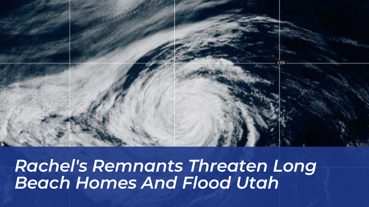

Coastal communities across Southern California faced severe flooding and infrastructure damage on Friday, October 9, 2026, as powerful waves and high tides battered the shoreline. At the same time, tropical moisture and the remnants of Hurricane Rachel were forecast to drive heavy rainfall and potential flash flooding inland toward Utah and the Mojave Desert over the weekend and into early next week.
In Long Beach, the impacts were immediate and destructive. Powerful waves from the former hurricane tore apart large sections of the Long Beach Peninsula boardwalk on Friday morning. Chunks of the shattered wooden structure floated out to sea as high tide arrived shortly after 9 a.m., while floodwaters swamped nearby streets and patios.
“This is easily the most damage I have seen over the past couple of weeks,” said KTLA reporter Rich Prickett, describing how continuing erosion began to undermine beachfront properties. Local fire officials confirmed that one home along the boardwalk was red-tagged on Thursday, while two neighboring structures received yellow tags. All three homes were unoccupied, and municipal crews worked through the day to assess structural stability and determine if further evacuations would be required.
Broad Impacts Across Southern California
The destructive surf in Long Beach was part of a broader weather emergency affecting the entire Southern California coastline. Newport Beach police advised motorists to avoid flooded streets on the Balboa Peninsula, while in Laguna Beach, big waves and high tides inundated the intersection of Coast Highway and Broadway, turning sandy stretches of Main Beach into a sea of water.
Further south, the access road to San Onofre State Beach suffered significant damage, resulting in major parking disruptions. According to National Weather Service meteorologists, the coastal hazards are driven by a combination of high astronomical tides, abnormally warm ocean waters fueled by an active El Niño pattern, a Kelvin wave, and powerful south-to-west-facing swells.
Forecasters warned that conditions could worsen significantly between Sunday night and Monday, when even stronger swells and high tides are projected to coincide. The National Weather Service warned that Monday’s storm surge could reach approximately 7 feet along vulnerable stretches of the coast.
Inland Threat: Heavy Rain and Flash Floods Extending to Utah
While coastal flooding remains the primary concern for Southern California, the atmospheric moisture associated with the remnants of Rachel is tracking inland. Forecasters issued warnings for locally heavy rainfall and flash flood risks extending from the Mojave Desert across Palm Springs, Las Vegas, and into Utah-including iconic locations such as Zion National Park-as well as parts of Arizona.
Meteorologists noted a 15 percent chance of excessive rainfall on Sunday that could trigger flash flooding across wide desert and canyon swaths. In contrast, coastal basins in Los Angeles and Orange counties were expected to see lighter rain totals ranging from a quarter of an inch to an inch, accompanied by a noticeable cool-down that will drop daily high temperatures into the 70s.
Emergency management officials advise residents in low-lying coastal zones and flood-prone inland areas to monitor local weather alerts closely, secure loose outdoor property, and complete necessary storm preparations before conditions escalate further.