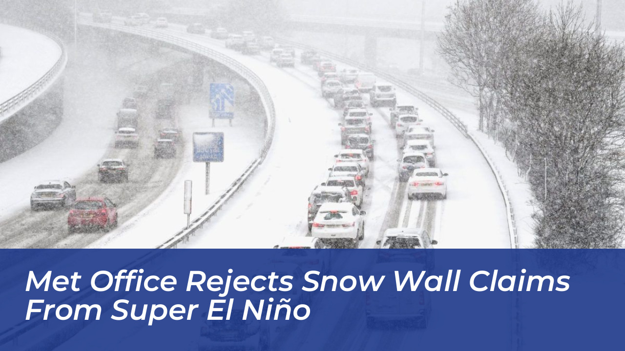

Weather experts at the Met Office have formally rejected viral media claims that an upcoming Super El Niño climate event will unleash a massive 551-mile wall of rain and snow across the United Kingdom. Recent reports suggested that a combination of rising Pacific sea temperatures and a shifting polar vortex would bring severe winter weather, freezing temperatures, and widespread disruptive snow to Britain.
However, meteorological authorities have stepped forward to clarify that these dramatic headlines vastly exaggerate the true nature of long-range seasonal forecasts. While large-scale climate phenomena do influence broader global weather patterns, forecasters emphasize that they cannot dictate precise, localized extreme weather events or guarantee heavy snowfall.
The Super El Niño and Polar Vortex Link
El Niño is the warm phase of the El Niño-Southern Oscillation (ENSO), a natural climate cycle that occurs across the tropical Pacific Ocean roughly every five years. While El Niño frequently triggers severe conditions such as droughts, flash floods, and hurricanes in regions like Asia, Africa, and the Americas, its direct impacts on the UK are traditionally far less extreme.
Research from scientific bodies, including the US government’s NOAA Chemical Sciences Laboratory, shows that El Niño can increase the likelihood of wetter, stormier, and milder conditions in the UK during late autumn and early winter. Later in the season, a weakening of the stratospheric polar vortex can sometimes increase the potential for Sudden Stratospheric Warming events, which raise the probability of cold weather.
Despite these atmospheric mechanics, the Met Office stresses that these connections represent shifts in statistical probability rather than absolute guarantees. El Niño does not determine individual weather outcomes, and current forecasts do not support the assertion that the UK is on the brink of being overwhelmed by extreme winter storms.
Separating Fact from Fiction in Autumn Weather Maps
Recent sensationalized weather maps turned red and green to depict the UK disappearing under an enormous wall of moisture and sub-zero temperatures. In reality, short-range and medium-range forecasts point toward a much more familiar and standard autumnal pattern.
Rather than an exceptional cold spell or nationwide freezing conditions, the coming weeks will feature:
- Changeable weather marked by frequent spells of rain and brisk winds.
- Scattered showers, with the heaviest rainfall concentrated primarily in northwestern regions.
- Drier interludes and sunny spells, particularly across southern and southeastern areas.
- Temperatures hovering close to, or slightly below, seasonal averages with occasional rural night frosts.
Met Office Chief Forecaster Andy Page noted that while transient ridges of high pressure will bring clearing skies and chilly overnight conditions to prone northern spots, strong winds and coastal gales remain the primary watchpoints rather than widespread blizzards.
What the Public Should Expect This Season
The Met Office continues to urge the public to rely on official channels for weather updates rather than speculative headlines. While long-range atmospheric indicators suggest that conditions may turn more unsettled toward the end of October and into early November, confidence in specific regional impacts remains low.
Dramatic nationwide snow and prolonged freezing conditions are entirely absent from the central themes of the current meteorological outlook. Instead, Britons should prepare for a traditional mix of brisk winds, seasonal showers, and fluctuating temperatures as autumn progresses.