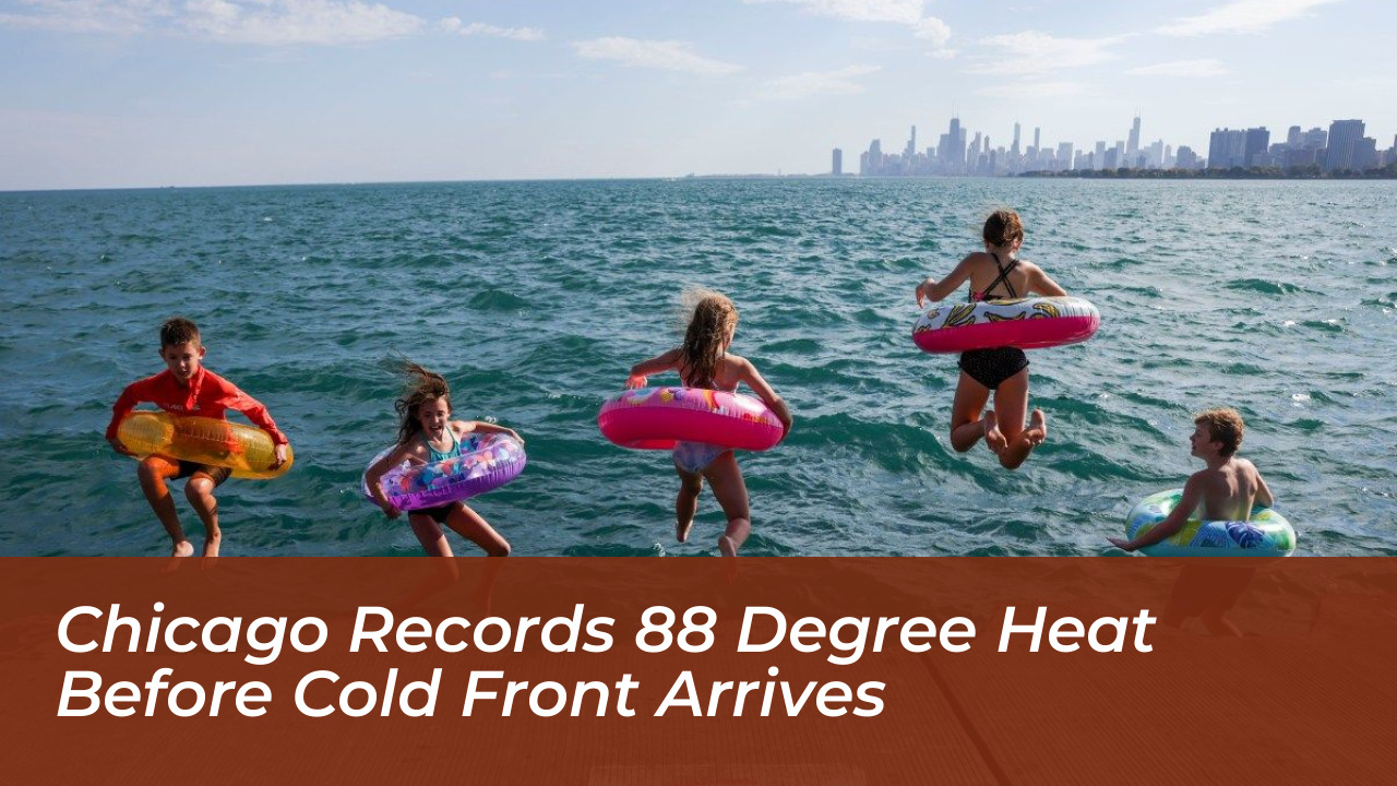

Chicago and Rockford experienced unusual summerlike warmth on Monday, October 12, 2026. Temperatures climbed to an impressive 88 degrees at both locations. According to the National Weather Service, this unseasonal spike shattered daily records across the region. A forecast cold front moved in shortly after, threatening to bring severe storms and a dramatic drop in temperatures.

The previous Chicago record for October 12 was 84 degrees, set back in 2008. Normal high temperatures for the date typically hover around 65 degrees in Chicago and 64 degrees in Rockford. Data from the Chicago Tribune highlights just how rare Monday’s heat was. Chicago has recorded only three other late-fall days since 1871 with highs reaching at least 88 degrees. Rockford has exceeded that threshold only once since 1905.
Residents Flock to Beaches Amid Record Warmth
The unseasonable heat coincided with the Columbus Day and Indigenous Peoples Day holiday. This prompted many residents to abandon their autumn jackets in favor of shorts and beach trips. O’Hare International Airport initially logged 87 degrees before temperatures ticked up further. Local beaches saw steady crowds taking advantage of the unexpected warmth.
The sudden shift caught many off guard. Families and workers seized the opportunity to spend the afternoon outdoors, playing frisbee and enjoying the lakefront before conditions changed.
Severe Weather and a Dramatic Cooldown Ahead
The record-setting warmth will be short-lived. Meteorological forecasters warn that the high temperatures are fueling a volatile weather system sweeping across northern Illinois and southeastern Wisconsin.
Incoming Storms and Temperature Plunge
- Tuesday: Severe thunderstorms are expected to develop. The National Weather Service cites a 70 percent chance of precipitation by Tuesday night.
- Wednesday and Thursday: Temperatures will retreat, bringing cooler highs in the 60s alongside additional chances for rain and possible thunderstorms.
- End of the Week: A massive temperature swing will drop overnight lows into the upper 20s and low 30s by Friday night. This marks a staggering 60-degree turnaround in less than a week.
Forecasters advise residents to monitor local weather alerts closely as the transition from late-summer heat to authentic late-fall conditions takes full effect.