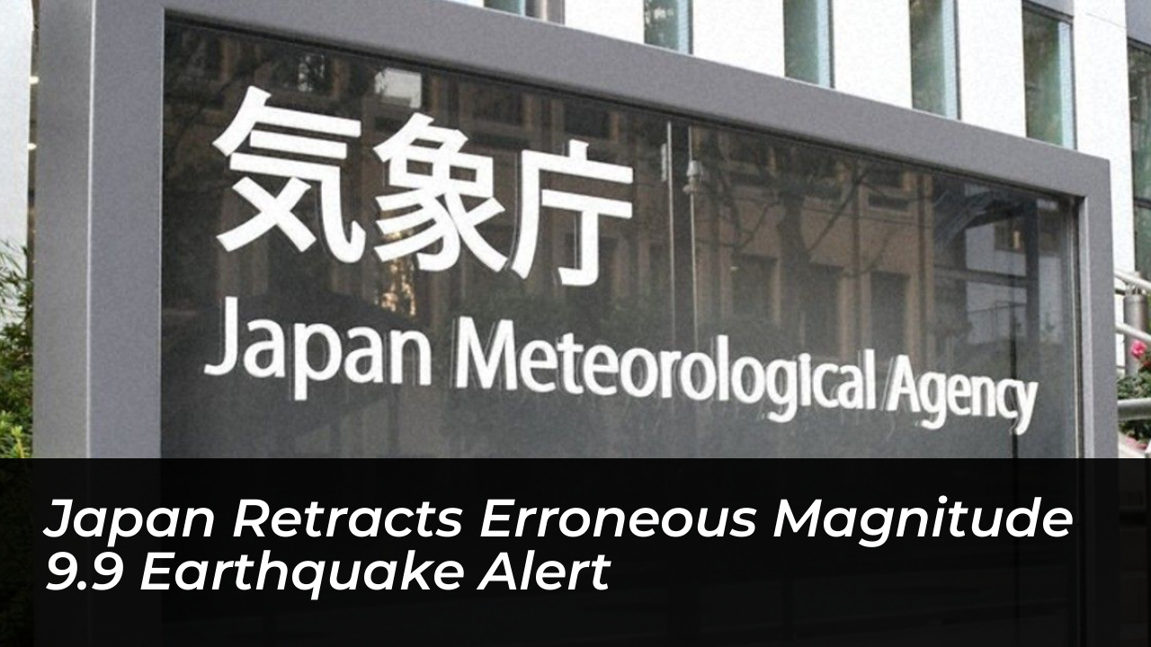

Japan’s meteorological agency officially withdrew an erroneous major earthquake warning on Friday, October 16. Officials mistakenly estimated a magnitude 9.9 earthquake near the Kuril Islands off Hokkaido. The false alarm triggered widespread concern and temporarily disrupted regional transportation networks before officials corrected the data.
According to the Japan Meteorological Agency (JMA), the mistaken alert was issued at approximately 12:40 p.m. local time. The automated system severely overestimated the seismic activity near Russia’s Kamchatka Peninsula. A genuine earthquake had actually taken place there, measured at magnitude 7 by the European-Mediterranean Seismological Centre and magnitude 6.9 by the US Geological Survey.
Details of the False Alert and Impact
The initial JMA forecast warned of a maximum seismic intensity of 7 on Japan’s strict intensity scale. It projected severe devastation across a broad area stretching from northern Japan down to the Tokai region in central Japan. However, the actual shaking experienced across most affected locations reached a maximum rating of just 1.
A genuine magnitude 9.9 earthquake would have surpassed the 1960 Valdivia earthquake in Chile. That event registered at magnitude 9.5 and remains the strongest earthquake ever recorded by modern instruments. Realizing the calculation error, the JMA quickly moved to cancel the alert.
Despite the swift retraction, the erroneous warning caused immediate logistical disruptions. Central Japan Railway Co. temporarily suspended Tokaido Shinkansen bullet train operations between Shin-Yokohama and Toyohashi stations as a safety precaution. Normal services were restored shortly after the agency confirmed the warning was a false alarm.
Seismic Activity Along the Pacific Ring of Fire
The incident coincided with heightened global attention on active seismic regions. The triggering event-a deep-focus earthquake roughly 143 kilometers deep near Kamchatka Krai, Russia-highlighted the continuous tectonic pressures along the Pacific Ring of Fire.
The Pacific Ring of Fire is a horseshoe-shaped basin responsible for approximately 90 percent of the world’s earthquakes and three-quarters of its active and dormant volcanoes. Stretching across the coasts of the Americas, Russia, Japan, Indonesia, and New Zealand, the region frequently experiences major tectonic shifts that test early-warning infrastructure in countries like Japan.
Contextual Data on Recent Seismic Events
Seismic monitoring networks worldwide remain on high alert following a series of significant global tremors. A breakdown of recent notable regional seismic activities includes:
- Kamchatka Peninsula, Russia (October 16): Magnitude 6.9 to 7.0 at a depth of roughly 140-143 km, prompting the erroneous 9.9 reading in Japan.
- Southern Panama (October 9): Magnitude 7.7 earthquake striking near Pitaloza Arriba, causing structural damages and building collapses.
- Historical Benchmark: The 1960 Valdivia earthquake in Chile remains the highest instrumentally recorded magnitude at 9.5.
Authorities have emphasized that no tsunami warnings were issued for Japan following the Kamchatka earthquake or the subsequent retraction of the domestic earthquake alert.