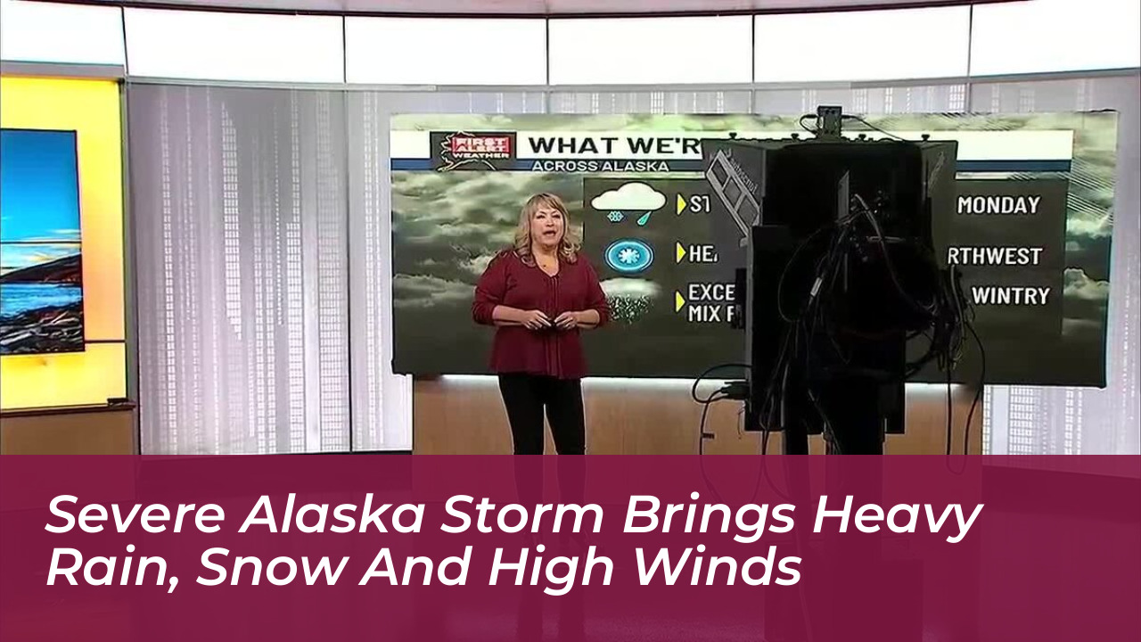

A powerful storm system centered over the Bering Sea is delivering widespread precipitation and dangerous winds across Alaska. The severe weather system is bringing heavy rain to southern coastal regions, significant snowfall accumulations to inland communities, and hazardous travel conditions across multiple regions as it progresses eastward.
Heavy Rain and Flood Risks Along Southern Coastlines
According to reports from Alaska’s News Source, regions including Prince William Sound and the Northern Gulf coast, stretching from Yakutat down to Juneau, are projected to receive between 2 and 7 inches of rain. Exposed coastal locations and mountain slopes are bearing the brunt of the atmospheric energy, with wind gusts expected to reach up to 65 mph.
The system’s active precipitation path is pushing eastward from Southwest Alaska toward the Kenai Peninsula, threatening saturated soils with elevated flood and landslide risks. Marine areas throughout the Gulf of Alaska face active small craft advisories and gale warnings as coastal communities brace for rising water levels and severe winds.
Heavy Snowfall Expected for Inland Passes and Valleys
While coastal areas experience heavy downpours, higher elevations and inland valleys are preparing for substantial winter weather accumulations. Thompson Pass is forecast to receive a heavy blanket of 10 to 18 inches of snow, while the Northern Copper Valley anticipates totals between 4 and 8 inches.
National Weather Service forecasters have issued winter storm watches and advisories for multiple interior locations. The back-to-back low-pressure systems moving through the state highlight the transition into colder seasonal weather, creating treacherous driving conditions and limiting visibility across mountain passes.
Statewide Weather Impacts and Warnings
- Prince William Sound & Northern Gulf: 2 to 7 inches of expected rainfall.
- Thompson Pass: 10 to 18 inches of heavy snowfall accumulation.
- Northern Copper Valley: 4 to 8 inches of expected snowfall.
- Coastal Mountain Slopes: Wind gusts peaking at up to 65 mph.
Residents and travelers across the affected regions are advised to monitor local forecasts closely, check road conditions before traveling, and prepare for potential disruptions to transportation and daily activities as the storm system continues its sweep across the Last Frontier.
Frequently Asked Questions
What areas of Alaska are most affected by the current storm?
The storm is impacting multiple regions simultaneously. Southern coastal areas like Prince William Sound and the Northern Gulf coast are experiencing heavy rain and high winds, while inland areas such as Thompson Pass and the Northern Copper Valley are receiving heavy snowfall.
How much snow is expected in mountain passes?
Thompson Pass is forecast to receive between 10 and 18 inches of snow, while the Northern Copper Valley is expected to accumulate 4 to 8 inches.
What are the expected rainfall totals for coastal regions?
Regions stretching from Yakutat to Juneau, along with Prince William Sound, are expected to receive between 2 and 7 inches of rain.
How strong are the winds associated with this storm system?
Exposed coastal locations and mountain slopes are experiencing hazardous wind gusts reaching up to 65 mph.
Are there any active weather warnings in place?
Yes, the National Weather Service has issued various winter storm watches, flood outlooks, wind advisories, and marine warnings across the affected interior and coastal zones.