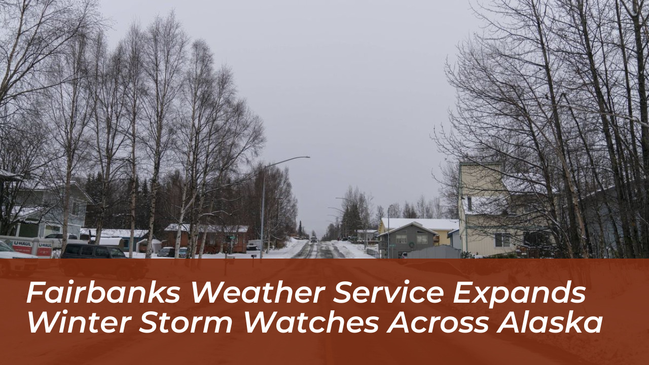

Communities across Interior Alaska face an expanding winter storm threat. The National Weather Service (NWS) office in Fairbanks has extended winter storm watches and increased snowfall projections for the region. The latest forecast warns of up to 30 inches of snow at higher elevations, strong winds, and potentially impassable roads as a severe weather system moves through the area.
According to the National Weather Service, areas above 2,500 feet in the eastern Alaska Range face the highest impact. Snow accumulations are expected to reach 18 to 30 inches, with additional amounts possible above pass level. Lower elevations below 2,500 feet could see 12 to 18 inches of snow, accompanied by wind gusts reaching up to 40 mph.
Widespread Watches Issued Across Interior Alaska
The expanded winter storm alerts cover multiple zones throughout Interior Alaska, with varying timelines and accumulation totals:
- Eastern Alaska Range: Under a watch from Monday morning through late Wednesday night. This area expects 18 to 30 inches above 2,500 feet and 12 to 18 inches below.
- Fairbanks North Star Borough and Nenana: Placed under a watch for 4 to 8 inches of snow from Tuesday morning through Wednesday afternoon. This threatens the Tuesday evening and Wednesday morning commutes.
- Denali Borough: Under a watch from Monday afternoon through Wednesday afternoon, with 8 to 12 inches forecast and higher totals near mountain passes.
- Delta Junction, Fortymile Country, and Upper Tanana Valley: Projected to receive 6 to 12 inches of snow, with localized amounts up to 18 inches between Tanacross and Dot Lake.
- Yukon Flats: Expecting 4 to 8 inches of accumulation from Tuesday morning through Wednesday afternoon.
Strong Winds Precede Heavy Snowfall
Before the heavy snow arrives, severe winds will impact parts of the region. A Wind Advisory covers the eastern Alaska Range north of Trims Camp. South winds of 30 to 40 mph and gusts up to 65 mph are expected there. Forecasters note that these winds will shift to the north on Tuesday. This shift will coincide with moderate to heavy snowfall over Isabel Pass.
Meteorologists warn that travel conditions could become very difficult to impossible in the hardest-hit mountain passes. Blowing snow is expected to sharply reduce visibility. This will create significant hazards for motorists traveling along the region’s highways.
Winter Storm Watches
The NWS issues a Winter Storm Watch when there is a potential for significant and hazardous winter weather within 48 hours. A warning indicates that severe weather is imminent or already occurring. In contrast, a watch serves as an early notice for residents to prepare for potential disruptions. Local officials urge residents to monitor updated forecasts and finalize preparations before road conditions deteriorate.