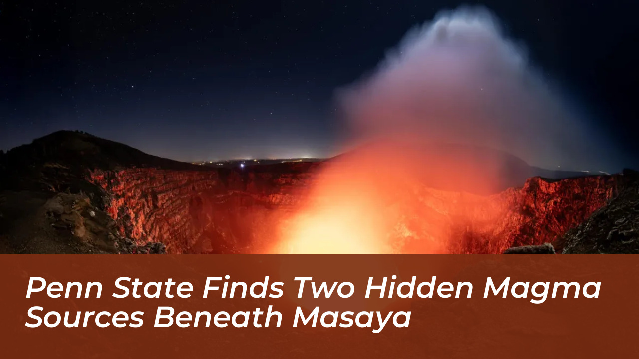

Researchers at Penn State University have uncovered evidence of two distinct, active magma sources operating beneath Nicaragua’s highly active Masaya volcano. By analyzing six years of satellite observations collected between 2018 and 2024, the scientific team identified complex ground deformation patterns. These patterns indicate that separate underground magma reservoirs are changing independently. The findings, published in Geophysical Research Letters, offer critical insights that could enhance future volcanic monitoring, baseline activity tracking, and eruption forecasting for a region where approximately two million people live within 13 miles of the summit.
Masaya volcano is located near Nicaragua’s capital city of Managua. It remains a major destination for international tourists due to its persistent, glowing lava lake. Despite its popularity and proximity to dense population centers, the volcano’s subterranean plumbing system has remained poorly understood. Masaya’s last major lava flow occurred in 1772. However, its continuous degassing regularly releases hazardous concentrations of sulfur dioxide gas, underscoring the vital need for accurate, long-term risk assessment.
Tracking Subsurface Movement with Satellite Geodesy
To investigate how magma moves deep beneath the surface without direct visual observation, the Penn State research team turned to advanced remote sensing technologies. They utilized data collected by the Sentinel-1 satellite, which passes over the volcano approximately once every 12 days. By applying an interferometric synthetic aperture radar (InSAR) approach, the researchers could measure minute variations in surface elevation over multiple years.
InSAR combines synthetic aperture radar with interferometry. Synthetic aperture radar uses long microwave wavelengths to pierce through the thick tropical cloud cover common in Central America. Interferometry is a technique that measures millimeter-scale distance changes by tracking how light waves interfere with the Earth’s surface. Former Penn State geosciences graduate student Young Cheol Kim explained that continuous satellite monitoring allows scientists to establish normal baseline activity and swiftly recognize anomalous shifts.
“Doing continuous monitoring allows us to understand the baseline activity and identify if things are changing,” Kim noted. “And then, if there is a need to warn people, we can do that in a timely manner.”
Contrasting Ground Movements Reveal a Dual-Reservoir System
During the six-year observation window, the satellite data revealed distinct, contradictory surface movements across different zones of the volcano. The broader caldera region initially underwent a period of subsidence-where ground levels dropped-followed by a phase of uplift, where the ground rose. Researchers interpreted this cycle as an inflation of the main underground reservoir, potentially driven by a newly supplied deep magma source.
Simultaneously, the area immediately surrounding the active Santiago crater and its lava lake continued to deflate throughout the entire study period. This localized sinking occurred independently from the inflation observed in the broader caldera. According to lead author Lizzie Johnson, these findings point to a sophisticated, multi-chambered plumbing framework. Johnson earned her bachelor’s degree in geosciences from Penn State and is now pursuing a doctorate at the University of Hawaii at Manoa.
- Main Caldera: Experienced initial subsidence followed by uplift, indicating magma draining away and subsequent refilling from a deeper source.
- Santiago Crater: Deflated continuously across the entire six-year study period, signaling decreasing magma levels in a separate, shallower reservoir.
- Remote Sensing: Utilized Sentinel-1 satellite passes every 12 days via InSAR to measure ground deformation through tropical cloud cover.
“When it’s subsiding, that means that there’s probably magma draining away from the volcano, but once the ground starts uplifting again, that can mean that there’s potentially new magma moving in,” Johnson explained. “At the same time, the area directly around the active Santiago crater deflated over the entire study period independently of the transition to inflation of the main reservoir. This indicates that the plumbing system is more complex and could be due to decreasing magma in a second, shallower reservoir.”
Implications for Global Volcanic Hazard Mitigation
The study uncovered significant new details regarding Masaya’s underground architecture. However, the researchers emphasized that their observations do not indicate any immediate danger or imminent eruption for surrounding communities. Instead, establishing a comprehensive understanding of how magma supplies and transports between deep and shallow reservoirs provides a crucial baseline for identifying future hazards accurately.
The research methodology and discoveries are expected to benefit hazard monitoring not only in Nicaragua, but also at other basaltic, lava-lake-hosting volcanoes around the globe. Christelle Wauthier, professor of geosciences and computational sciences hub director at Penn State’s Institute for Computational and Data Sciences, mentored the project. The U.S. National Science Foundation supported the research under awards 1945417 and 2523375, alongside institutional computational infrastructure.