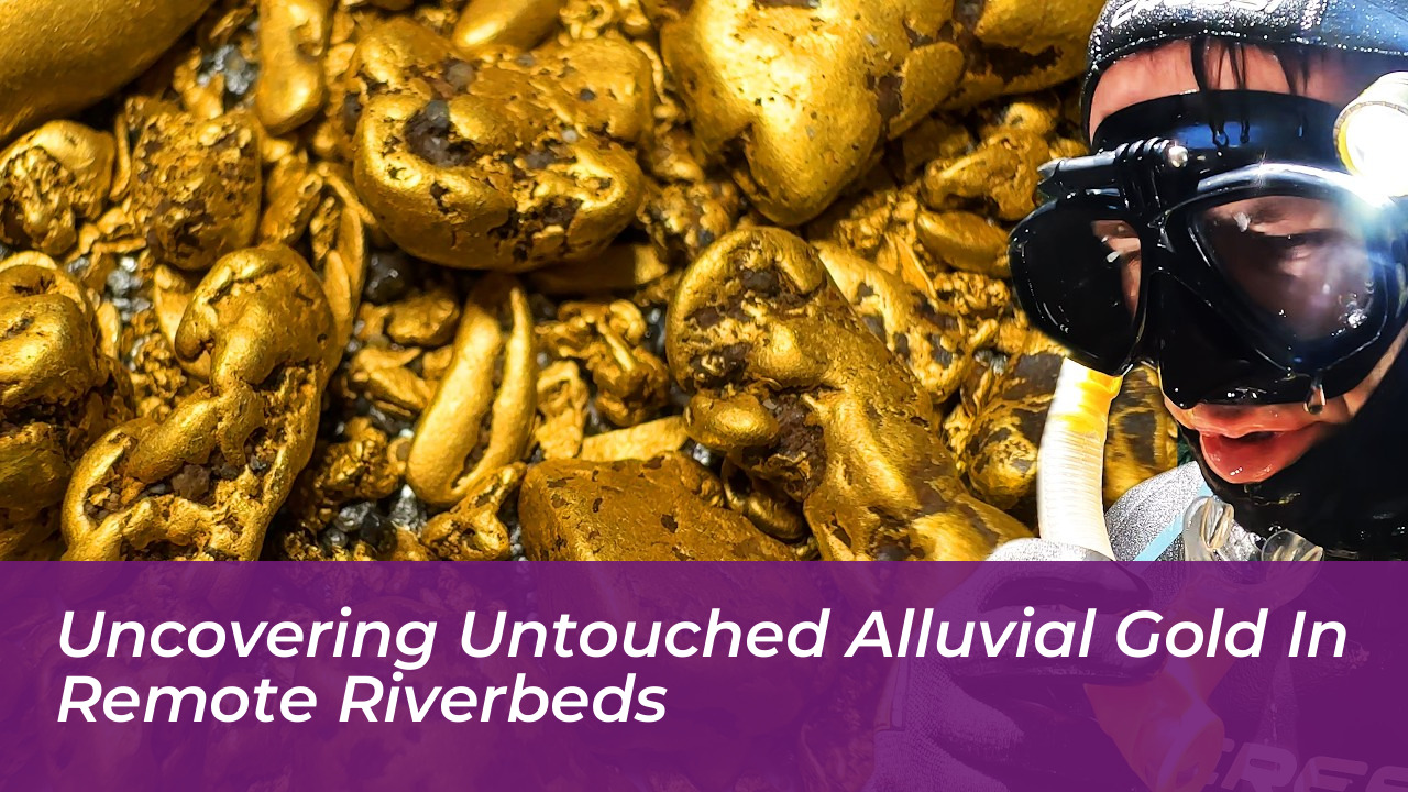

Securing a record-breaking haul of alluvial gold in modern times relies on reaching inaccessible, untouched river systems where 19th-century prospectors could not haul heavy equipment. While early miners thoroughly scoured accessible waterways across the globe, extreme terrain and deep aquatic trenches kept substantial virgin deposits locked away beneath rapid currents. For modern prospectors searching for high-grade deposits today, the core challenge is surviving the isolation required to reach them.
During historic gold rushes, miners were exceptionally skilled at reading river dynamics and identifying heavy mineral paystreaks. In places like Australia, western North America, and historic British workings across Wales and Scotland, old-timers redirected entire watercourses using wing dams and timber flumes to scrape exposed riverbeds dry. Yet, their physical limitations have become today’s strategic advantage, leaving deep aquatic trenches and remote gorges completely unexploited.
The Geology of Virgin Paystreaks in Wild Waterways
Gold is nineteen times denser than water. Every winter flood event reorganises stream beds through raw hydraulic sorting. As rushing water tears down hillsides, heavy gold flakes and dense nuggets tumble downward until encountering natural catchment areas. Prospectors seeking virgin deposits focus heavily on specific physical features along remote watercourses:
- Bedrock crevicing: Deep natural fissures perpendicular to the river’s flow act as subterranean riffles, grabbing dense metal while lighter gravels wash overhead.
- Inside bends and slack water: Sudden drops in water velocity force suspended metals to drop out of the water column immediately.
- Submerged boulder fields: High-pressure eddies behind massive stone obstructions carve out natural low-pressure pockets that collect coarse gold over centuries.
Reaching these spots often demands sub-surface diving equipment, thick wetsuits to fend off hypothermia, and non-motorised hand tools designed to pry open untouched bedrock seams.
Decoding Historic Fluvial Footprints
Understanding where historic miners stopped working provides a precise roadmap to where rich deposits still lie hidden. Old-timers were constrained by food supplies, primitive pump technology, and seasonal weather windows, leaving treacherous ravines completely unworked. Satellite imagery, geographic information systems, and modern topographical elevation models now reveal abandoned river bends and ancient palaeochannels sitting hundreds of yards away from modern flows.
By superimposing historical mining lease archives over high-resolution satellite maps, modern explorers identify geographic bottlenecks that earlier generations bypassed due to dangerous sheer cliffs or violent white water. Field footage across online prospecting networks frequently captures this exact crossover between historical detective work and modern expedition logistics.
The Physics of Heavy Mineral Deposition
When working an unexploited gravel bar, black iron sands-chiefly magnetite and hematite-serve as the primary geological marker for heavy gold concentrations. Because these companion minerals share a high specific gravity, their presence in significant quantities indicates that hydraulic conditions were ideal for dense metals to drop.
Tough physical labour remains the defining factor once a target zone is identified. Clearing away feet of sterile, light overburden gravel by hand is mandatory before reaching tightly packed wash-dirt resting directly against ancient clay or solid stone. The most lucrative discoveries rarely appear in loose surface gravel; they remain cemented deep inside decomposing slate, granite crevices, or packed riverbed false bottoms.
Modern Technology Transforming Exploration
Modern digital mapping and satellite terrain data have transformed what used to be pure guesswork into precise exploratory science. LiDAR technology can detect buried palaeochannel margins with as little as one to two metres of surface relief, opening ancient drainage systems up to millions of years old to systematic exploration.
Whether navigating remote alpine streams abroad or exploring mineral-rich waters closer to home, patience, physical endurance, and thorough bedrock assessment dictate success.
Finding genuine virgin ground requires pushing beyond standard access tracks and studying the physical behaviour of hydraulic sorting in wild water.
Frequently Asked Questions
What is alluvial gold?
Alluvial gold is free gold that has been weathered out of primary hard-rock deposits and transported by water, eventually settling in riverbeds, floodplains, and ancient channels due to its high density.
Why did 19th-century miners leave gold in remote riverbeds?
Early prospectors were limited by primitive pumping technology, short seasonal windows, food supply constraints, and an inability to transport heavy equipment into treacherous gorges and rapid-heavy canyons.
What are palaeochannels?
Palaeochannels are ancient, buried river systems sealed beneath younger layers of sediment, lava flows, or glacial till. They frequently hold exceptionally rich, untouched concentrations of placer gold.
How do prospectors locate virgin alluvial deposits today?
Modern explorers use satellite imagery, GIS mapping, drone-based LiDAR to detect subtle surface relief changes, and historical mining archives to pinpoint bypassed river bends and deep leads.
Why are black sands important in gold prospecting?
Black iron sands like magnetite and hematite share a high specific gravity with gold. Their presence in a gravel bar indicates that hydraulic conditions were right for heavy minerals to drop out of the water column.