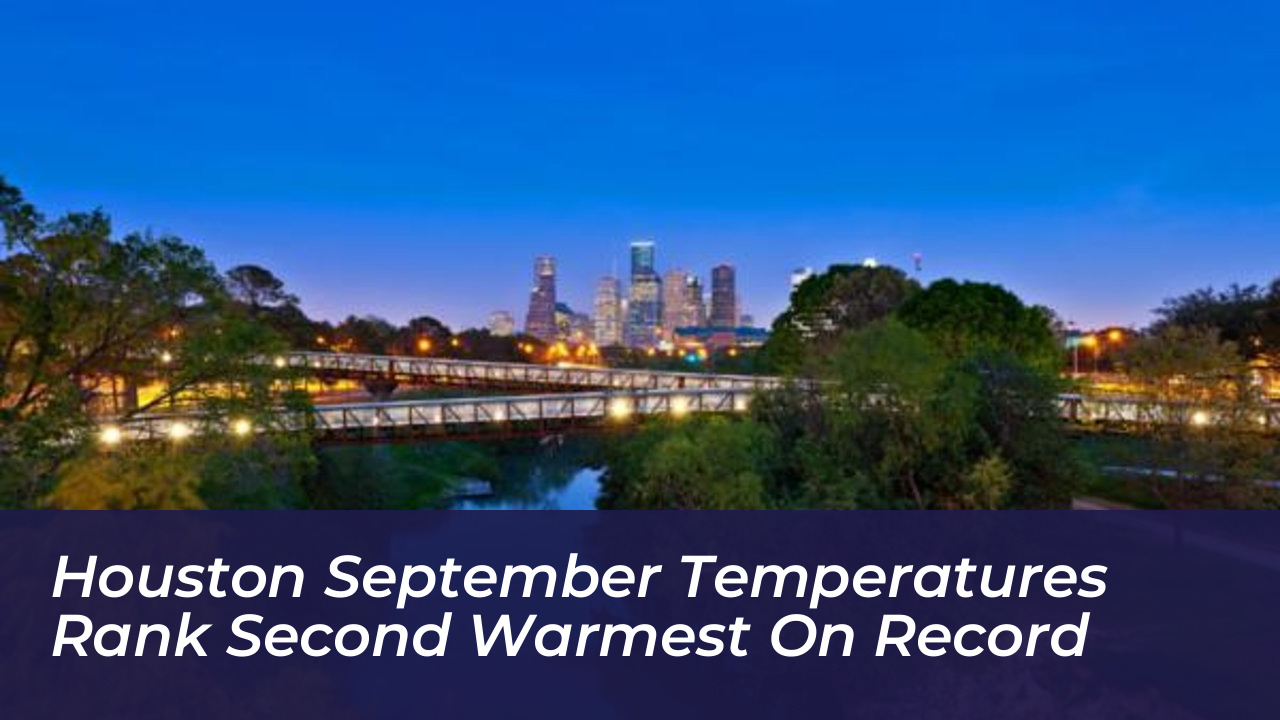
Weather observations at Bush Intercontinental Airport confirm that Houston is experiencing its second-warmest September in recorded meteorological history. Persistent high-pressure systems and unseasonably warm daytime temperatures combine with unprecedented overnight lows to drive the monthly average to near-historic levels. Official data through the first 22 days of the month indicate an average daily high of 94.2 degrees Fahrenheit. This figure positions the month behind only the extreme heat years of 2011 and 2023 for daytime temperature peaks in Southeast Texas, signaling a notable climate anomaly that challenges residents and municipal systems alike.
- Meteorological Factors Driving the Late-Summer Heatwave
- The Role of Upper-Level Atmospheric Ridges
- Cold Fronts and Shifting Dew Points
- Historical Comparison of Houston September Extremes
- Comparison with Record Years 2011 and 2023
- Long-Term Climate Trends Across Southeast Texas
- Houston September Historical Temperature Benchmarks
- Urban Heat Island Effects on Overnight Lows
- Infrastructure Heat Absorption and Release
- Cumulative Physiological Heat Stress
- The Impact of Gulf Moisture and Humidity
- Tropospheric Moisture Levels
- Direct Solar Radiation Versus Dry Air Advantages
- Frequently Asked Questions
- Why is Houston so hot in September?
- What are the previous hottest Septembers in Houston?
- How does humidity affect perceived temperatures in September?
- Are overnight temperatures also breaking records?
September is historically a transitional month in Houston, bridging the gap between peak summer and true autumn. However, modern weather patterns reveal a stubborn persistence of high heat well past the calendar boundary of summer. Meteorological monitoring stations across Harris County report continuous readings well above the seasonal baseline. This prolonged warmth impacts energy grids, water consumption, and outdoor labor schedules throughout the metropolitan area.
The severity of this month stems from a combination of atmospheric blocking, lack of cloud cover, and warm sea surface temperatures in the Gulf of Mexico. These elements create a thermal reservoir over the Texas coast that resists normal September cooling trends. Local weather scientists examine these telemetry readings closely to see how regional conditions change over time.

Meteorological Factors Driving the Late-Summer Heatwave
A persistent upper-level ridge anchored over the Southern Plains serves as the primary driver behind this prolonged late-summer heat. This atmospheric setup suppresses cloud cover, maximizes solar radiation absorption, and prevents normal convective cooling patterns across the region. High pressure forces air to sink, which compresses and warms the air mass further while keeping skies remarkably clear of the afternoon thunderstorms that typically provide natural cooling.
While a weak cold front recently pushed into Southeast Texas, its primary effect was dropping dew points into the mid- and upper-60s. This shift offered residents temporary relief from suffocating humidity, but actual air temperatures remained stubbornly elevated in the mid-90s. The dry air advantage vanishes quickly under intense midday solar radiation, bringing ambient heat levels right back to uncomfortable thresholds.
The Role of Upper-Level Atmospheric Ridges
- Persistent high-pressure systems anchored over the Southern Plains
- Suppression of cloud cover and maximization of solar radiation absorption
- Disruption of normal convective cooling patterns across the region
Cold Fronts and Shifting Dew Points
- Impact of weak cold fronts pushing into Southeast Texas
- Drop in dew points into the mid- and upper-60s offering temporary relief
- Persistence of actual air temperatures in the mid-90s despite drier air
Historical Comparison of Houston September Extremes
Contextualizing current monthly averages against historical meteorological baselines highlights the unusual nature of this weather event. September daytime highs that historically hovered near 90 degrees Fahrenheit now regularly challenge the mid-90s well into the final weeks of the month. Long-term climate data from NASA POWER and ERA5 reanalysis show that average September temperatures across Houston have risen by approximately 0.5 degrees Celsius per decade over the past 45 years.
The previous record-setting years of 2011 and 2023 share striking similarities with the current atmospheric setup. Both historical periods featured prolonged drought conditions and dominant high-pressure domes that parked over Texas for weeks at a time. This recurrence of extreme heat years points toward an intensifying cycle of late-season warmth in the region.
Comparison with Record Years 2011 and 2023
- Analysis of temperature peaks during extreme drought years
- Similarities in atmospheric blocking patterns and solar intensity
Long-Term Climate Trends Across Southeast Texas
- Data from NASA POWER and ERA5 reanalysis showing a 0.5 degrees Celsius increase per decade
- Shift in baseline autumn weather patterns pushing comfortable temperatures deeper into October
Houston September Historical Temperature Benchmarks
| Metric | Historical Average (1981-2025) | Recent Anomalies (2021-2025) |
|---|---|---|
| Average Daytime High | 32.3°C (90.1°F) | 35.2°C (95.4°F) |
| Average Overnight Low | 21.3°C (70.3°F) | 22.2°C (72.0°F) |
| Mean Monthly Temperature | 26.8°C (80.2°F) | 28.7°C (83.7°F) |
Urban Heat Island Effects on Overnight Lows
While daytime highs capture headlines, the most anomalous aspect of the current September weather pattern involves overnight lows. Traditional autumn cooling relies on clear night skies allowing accumulated heat to radiate back into space. In Houston, extensive urban development creates an intense urban heat island effect that traps thermal energy close to the surface.
Concrete, asphalt, and dense residential and commercial structures absorb heavy amounts of solar radiation during the day and release it slowly throughout the night. Consequently, morning low temperatures fail to drop below the mid-70s. This lack of nocturnal cooling denies residents natural thermal relief and drives up cumulative physiological heat stress indices across the metropolitan expanse.
Infrastructure Heat Absorption and Release
- Role of concrete, asphalt, and dense commercial structures in trapping solar energy
- Slow nighttime heat release preventing morning temperatures from dropping below the mid-70s
Cumulative Physiological Heat Stress
- Absence of natural thermal relief during overnight hours
- Heightened physiological strain on urban populations during prolonged heat waves
The Impact of Gulf Moisture and Humidity
High humidity compounds the physiological impact of elevated air temperatures throughout the Texas Gulf Coast. Houston’s proximity to the Gulf of Mexico guarantees abundant moisture in the lower troposphere. During a typical September, relative humidity averages around 73 percent across the area.
This high moisture content prevents effective sweat evaporation on the human body, which makes ambient air feel significantly hotter than standard thermometer readings suggest. Even when weak cold fronts manage to push drier continental air masses southward, direct solar radiation quickly overwhelms the dry air advantage, maintaining elevated heat index values throughout the afternoon hours.
Tropospheric Moisture Levels
- Average relative humidity holding near 73 percent throughout September
- Inhibition of effective sweat evaporation on the human body
Direct Solar Radiation Versus Dry Air Advantages
- How temporary drops in humidity are quickly overwhelmed by intense afternoon sun
- Maintenance of elevated heat index values despite minor meteorological shifts
Frequently Asked Questions
Why is Houston so hot in September?
September in Houston remains heavily influenced by lingering summer weather patterns, high sea surface temperatures in the Gulf of Mexico, and upper-level atmospheric ridges that trap warm air over the region and suppress normal cloud cover.
What are the previous hottest Septembers in Houston?
The hottest Septembers on record for daytime temperature peaks in Houston occurred in 2011 and 2023, both of which featured prolonged drought conditions and persistent high-pressure domes parked over the Southern Plains.
How does humidity affect perceived temperatures in September?
Relative humidity in Houston averages 73 percent during September. High moisture content prevents effective sweat evaporation, causing the heat index to make 94-degree air feel significantly hotter on the human body.
Are overnight temperatures also breaking records?
Yes. Elevated dew points combined with the urban heat island effect prevent nighttime temperatures from dropping normally, resulting in record-high overnight minimums that frequently stay in the mid-70s or higher.