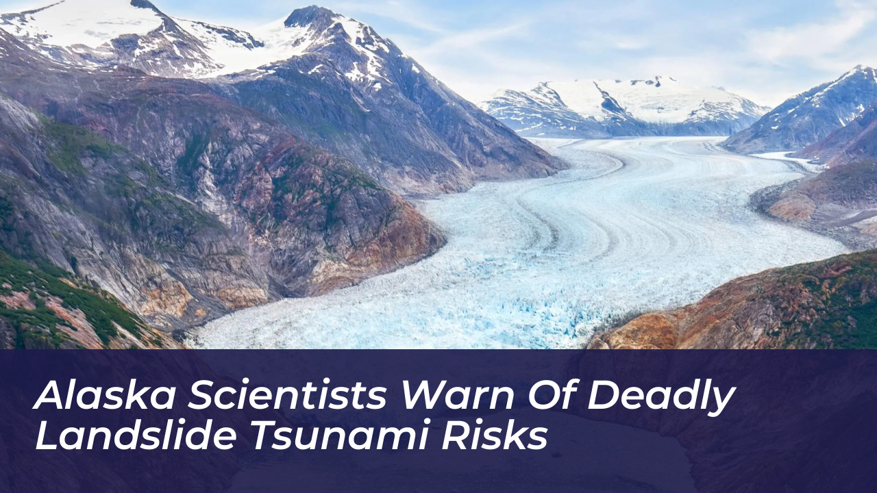

Alaska’s glacier-lined fjords face increasing risks from massive landslides that can trigger destructive tsunamis. This reality prompts scientists and local officials to call for stronger monitoring and warning systems. The danger was starkly underscored on August 10, 2025, when a mountainside collapsed into Tracy Arm. The event sent water and debris 1,580 feet (481 meters) up the opposite slope, producing the second-highest tsunami recorded in history.
According to research published in the journal Science and led by Dan Shugar of the University of Calgary, rapidly retreating glaciers, heavy rainfall, and thousands of small seismic tremors preceded the Tracy Arm disaster. No vessels were nearby when the tsunami struck shortly after 5 a.m., preventing casualties. However, experts warn that similar events could threaten cruise passengers, commercial fishermen, and coastal communities across the North.
The Anatomy of the Tracy Arm Megatsunami
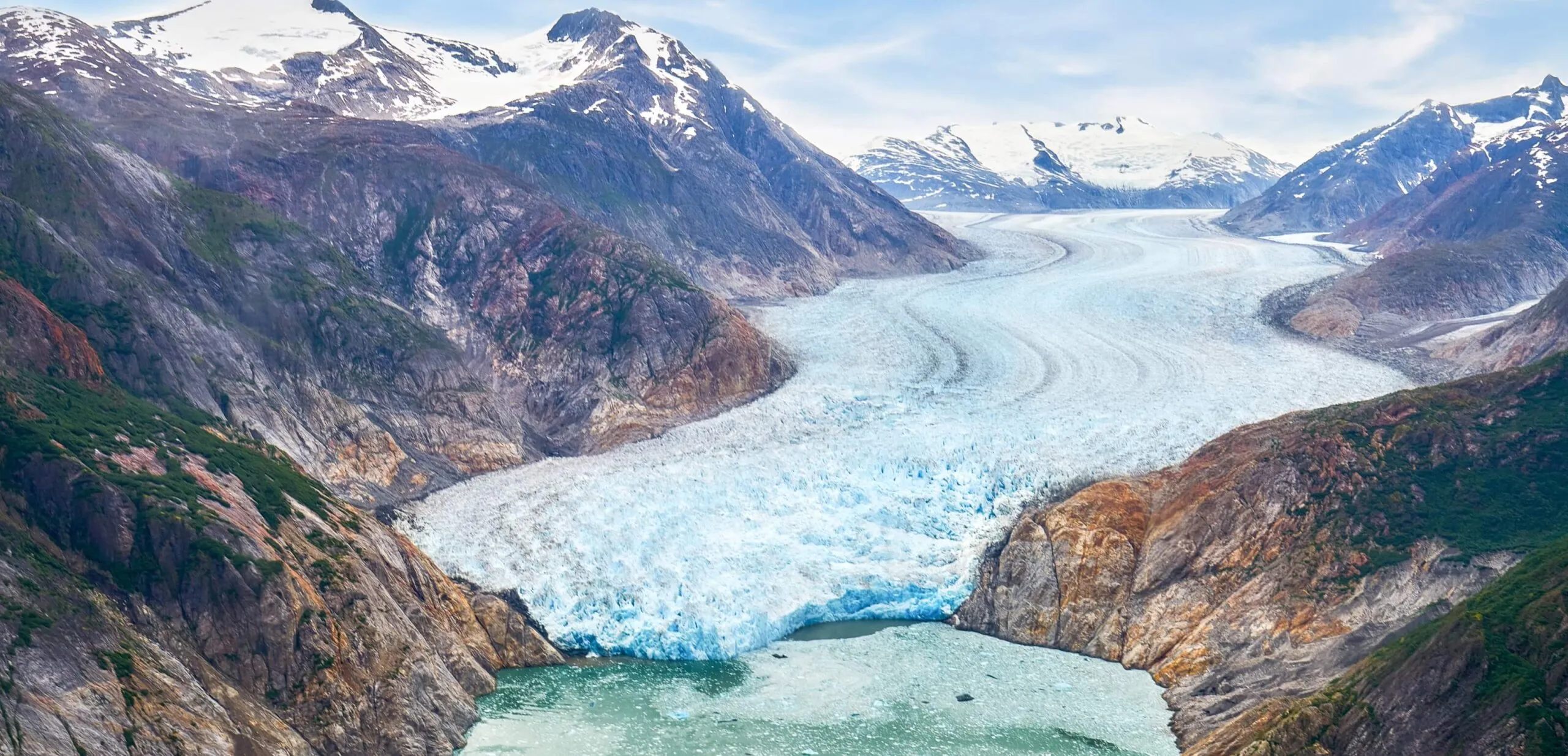
The catastrophic landslide occurred at approximately 5:26 a.m. at the head of Tracy Arm. This location sits about 50 miles southeast of Juneau, where the South Sawyer Glacier meets the water. Researchers estimated that the landslide moved roughly 64 million cubic meters of material-an amount equal to a cube measuring a quarter-mile on each side. When this immense volume hit the deep water, it transferred massive momentum into waves that climbed 1,580 feet above sea level two miles away.
Only the legendary 1958 landslide-generated tsunami in Lituya Bay, Alaska, which achieved a 1,730-foot run-up, ranks higher in recorded history. Computer simulations using field survey data revealed that the Tracy Arm wave formed a breaking crest roughly 330 feet high. It raced at more than 150 mph as it slammed into the opposite shore and stripped the fjord’s walls down to bare rock.
The timing narrowly prevented a human tragedy. Just 12 hours earlier, passengers aboard the tour vessel Hanse Explorer had visited the South Sawyer Glacier. More than 20 vessels, including large cruise ships carrying thousands of passengers, regularly travel through Tracy and Endicott arms daily during the peak summer season. While no ships were in the upper fjord during the collapse, major cruise lines quickly adjusted their itineraries to avoid the area.
Precursors and Warning Signs: The Mountain Spoke
Geologists and seismologists analyzing the event discovered a clear chain of warning signs that preceded the collapse. A four-day period of rapid retreat by the South Sawyer Glacier between August 2 and August 5, 2025, removed the icy buttress that had historically supported the steep hillside. This process, known as debuttressing, left behind an unsupported slope vulnerable to heavy seasonal rainfall that increased pore-water pressure within internal rock fractures.
Most notably, retrospective analysis of regional seismic data revealed thousands of small tremors emanating from the hillside days before the failure. Ezgi Karasözen, an Alaska Earthquake Center research seismologist and co-author of the study, noted that signals equivalent to magnitude 1 to 2 earthquakes occurred hourly days in advance. These signals accelerated to every 30 to 60 seconds in the final six hours. Two hours before the slide, these signals transitioned into a continuous vibration representing steady movement along the eventual failure surface.
“These seismic signals were like the hillside saying, ‘Hey, I’m going to fail,’” said Ezgi Karasözen, research seismologist at the Alaska Earthquake Center.
Michael West, director of the Alaska Earthquake Center, emphasized that Alaska possesses sophisticated networks for tracking earthquakes and monitoring volcanoes. Yet, this catastrophic landslide went entirely undetected in real-time. Researchers argue that integrating weather data, satellite observations, and seismic monitoring could eventually allow agencies to issue progressive alerts. These alerts could range from yellow advisories for heightened weather and glacial retreat to orange warnings during seismic tremor spikes.
Climate Change and Expanding Risks Across Polar Regions
The conditions that drove the Tracy Arm disaster are not unique to a single fjord. Across Alaska, Greenland, Norway, and other high-latitude regions, rising global temperatures are driving rapid glacial retreat and permafrost degradation. As thick rivers of ice shrink, they expose unstable, steepened rock walls to the erosive forces of precipitation and fluctuating temperatures.
Other sites in Alaska are already under close observation. In Prince William Sound, a creeping landslide near the Barry Glacier poses a continuous threat, prompting federal and state agencies to install high-tech monitoring arrays, cameras, and experimental warning systems. Similar concerns affect Portage Lake, Kenai Fjords National Park, and Disenchantment Bay near Yakutat, where local Indigenous communities and tour operators must constantly reassess safety protocols.
While alert systems cannot entirely eliminate natural hazards, scientists and local stakeholders stress a key point. Improved geophysical monitoring and transparent communication can help coastal municipalities, commercial fishermen, and the tourism industry make informed decisions, ensuring that future geological shifts do not catch communities by surprise.