
Rumours regarding widespread snow driven by a polar vortex heading for the United Kingdom this autumn and winter have circulated widely. However, BBC Weather forecasters have warned that severe conditions are far from guaranteed. While headlines frequently link potential cold snaps directly to the effects of El Niño, meteorological experts emphasize that the reality of seasonal forecasting is significantly more complex.
For the remainder of the autumn season, El Niño typically increases the likelihood of wet, mild, and potentially stormy weather across the UK. However, meteorologists note that later in the winter months, shifting atmospheric dynamics could alter the odds toward colder conditions and snow. These potential shifts are closely linked to changes in the polar vortex, though none of these outcomes are locked in.
The Polar Vortex and Its Impact
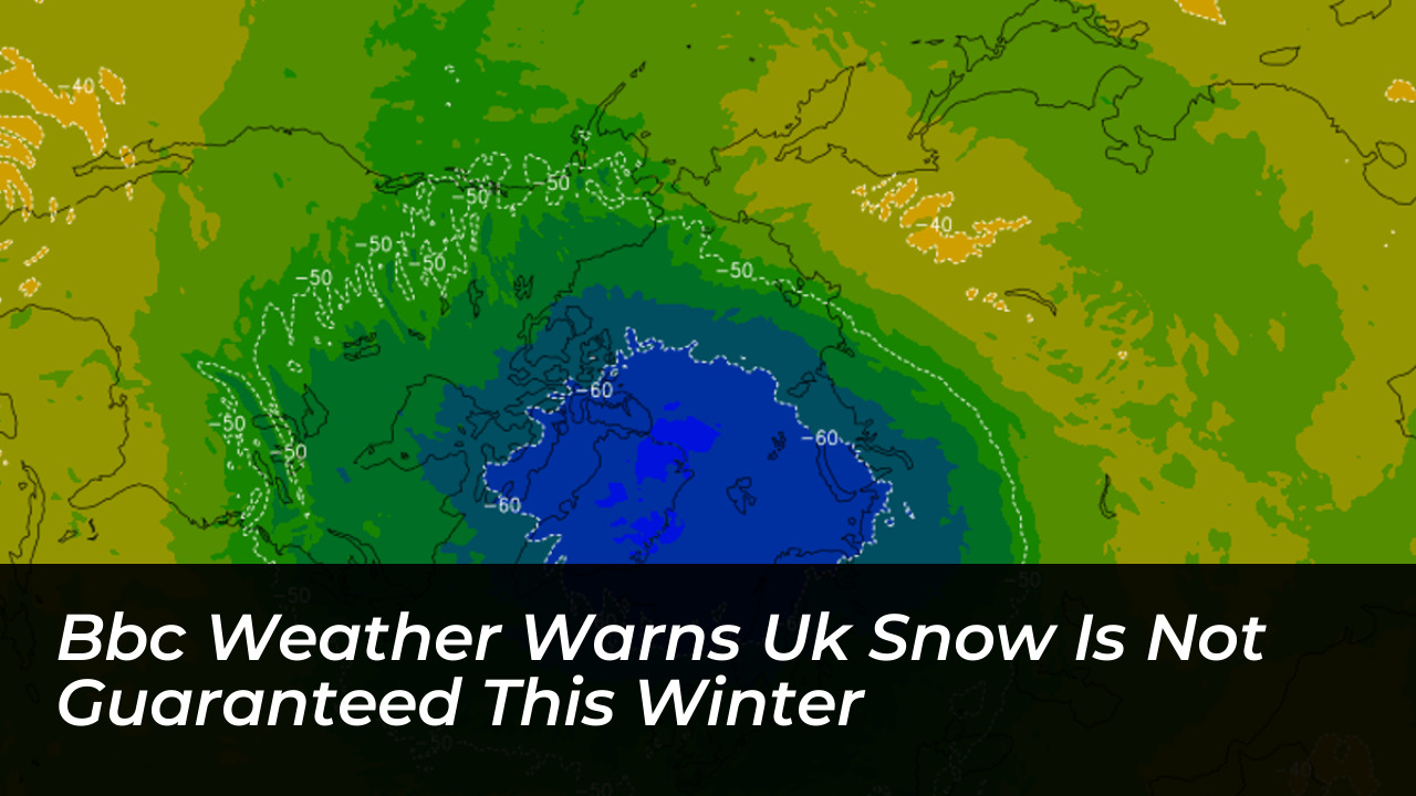
The polar vortex is a ring of strong westerly winds encircling the North Pole every winter. It operates roughly 10 to 30 miles (16 to 48 kilometres) above the Earth’s surface in the stratosphere. It forms because the air high above the polar region becomes exceptionally cold and dense during the winter months. The stark contrast between this frigid air and warmer air further south drives the powerful stratospheric winds that constitute the polar vortex.
A strong polar vortex generally encourages a strong polar jet stream in the troposphere below, where everyday weather occurs. This configuration drives areas of low pressure from west to east, bringing mild Atlantic air across the UK alongside frequent spells of wind and rain while locking the coldest air away to the north.
However, the polar vortex can occasionally wobble, weaken, or even reverse direction. Over days and weeks, these stratospheric disruptions can work their way down through the atmosphere to influence the jet stream. This causes the jet stream to weaken or take on a more meandering path, delivering colder northerly or easterly winds that establish the conditions responsible for the UK’s coldest winter weather. Despite this mechanism, disruptions do not always translate into drastic changes at the Earth’s surface, and meandering jet streams often occur independently of polar vortex shifts.
The Role of El Niño in Global and UK Weather
El Niño is a naturally occurring climate phenomenon originating in the tropical Pacific Ocean. It has reached notable intensity by several monitoring measures. The continuous release of heat from warm Pacific waters into the global atmosphere significantly alters weather patterns worldwide.
During autumn, El Niño heightens the probability of unsettled, wet, and stormy weather in the UK. Later in the winter season, atmospheric waves of energy released by the Pacific phenomenon can travel upward into the stratosphere. This increases the statistical likelihood that the polar vortex will experience disruption, leading to a process known as Sudden Stratospheric Warming (SSW), which temporarily weakens stratospheric winds and alters jet stream positioning.
“Through the latter part of the winter, following a peak in El Niño, the stratospheric Polar Vortex can become weaker, leading to an increased chance of Sudden Stratospheric Warming events unfurling, increasing the potential for cold weather.” — Met Office Spokesperson
Despite these atmospheric pathways, historical climate data demonstrates that the correlation between El Niño and UK winter severity is mixed:
- The severe winter of 2009/2010, known as the “Big Freeze,” was the coldest winter in three decades at the time and coincided with an El Niño event.
- Conversely, the 2006/2007 winter also occurred during an El Niño phase but resulted in unseasonably warm temperatures.
- The infamous “Beast from the East” in 2018 brought widespread snow and freezing temperatures during a La Niña year, which is the direct opposite phase of El Niño.
Current Forecasts and Practical Winter Preparations
Current long-range meteorological forecasts indicate no immediate signs of an early Arctic outbreak or significant widespread snowfall across the UK. Instead, weather models project a broadly changeable pattern featuring occasional wetter and windier interludes, particularly across northern and western regions, alongside chilly and foggy nights.
While prolonged cold spells remain unconfirmed, official bodies continue to advocate for baseline preparedness. The UK government has expanded its emergency guidance, advising households to maintain accessible supplies including drinking water, non-perishable food, essential medications, torches, and extra blankets. Meanwhile, utility providers like British Gas recommend practical property maintenance measures, such as insulating exposed pipes and sealing window drafts, to protect homes against unexpected drops in temperature later in the season.
Ultimately, while El Niño and potential polar vortex disruptions elevate the risk profile for late-winter cold snaps, BBC Weather and the Met Office stress that severe winter weather, ice, and heavy snow remain entirely unguaranteed.
Frequently Asked Questions About UK Winter Weather
What is the polar vortex?
The polar vortex is a band of strong westerly winds circulating around the North Pole in the stratosphere, located roughly 10 to 30 miles above the Earth’s surface during the winter months.
How does El Niño affect the UK weather?
El Niño increases the probability of wet, mild, and stormy conditions across the UK during the autumn months. Later in winter, it can influence atmospheric waves that disrupt the polar vortex, potentially setting the stage for colder weather.
Does an El Niño year always mean heavy snow in the UK?
No. Historical records show mixed results. While some El Niño years like 2009/2010 experienced severe cold, others like 2006/2007 were unseasonably warm, proving that snow is never guaranteed.
What was the “Beast from the East”?
The Beast from the East was a severe weather event in 2018 caused by a Sudden Stratospheric Warming event. It brought heavy snow and freezing temperatures to the UK during a La Niña year rather than an El Niño year.
Are forecasters predicting an early winter freeze this year?
Current short- and medium-term forecasts do not show any clear signals for an early Arctic outbreak, pointing instead to a changeable, generally mild-to-average weather pattern through October and early November.