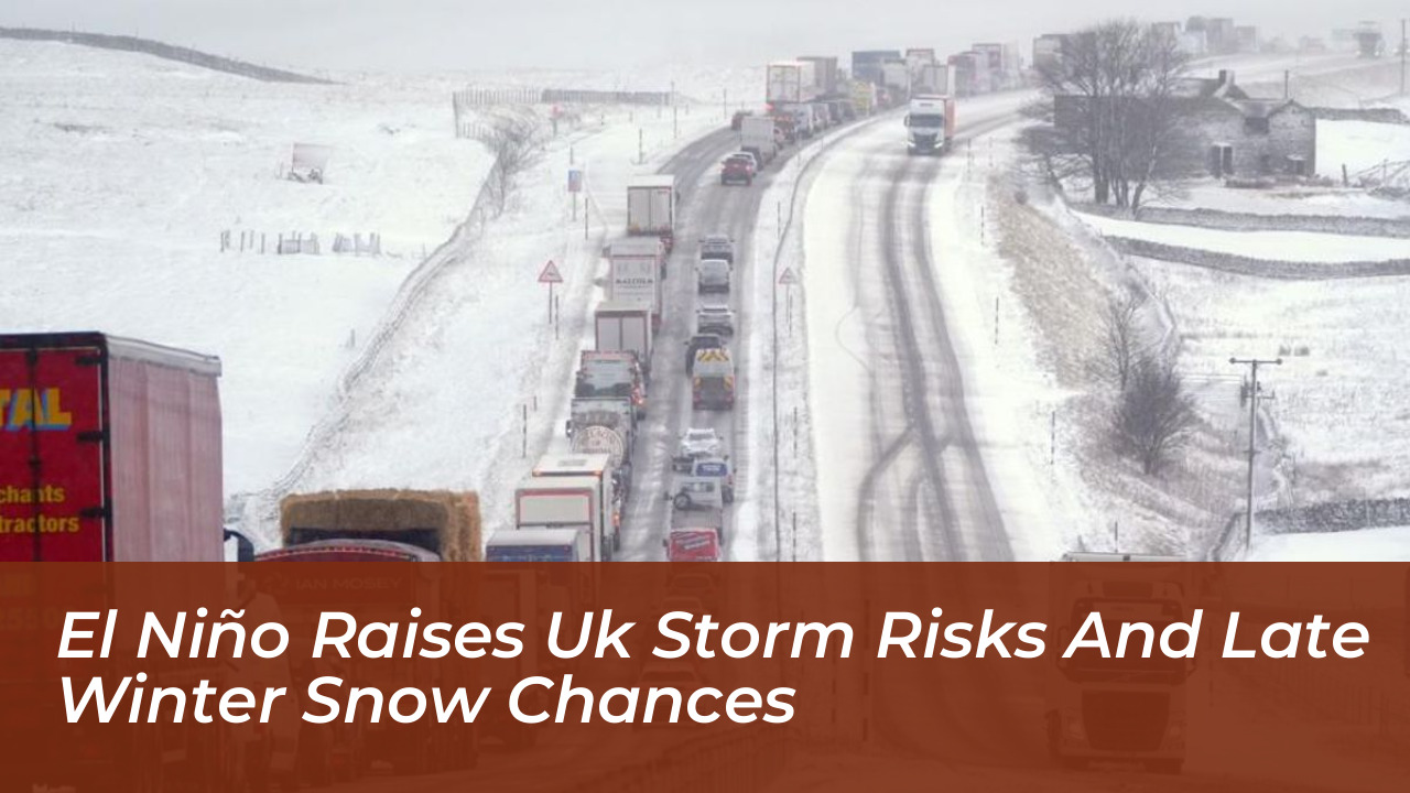


The United Kingdom faces an increased likelihood of wetter and potentially stormier weather conditions during the autumn and early winter. This is driven by a powerful El Niño developing across the Pacific Ocean. While meteorological agencies warn that the climate pattern significantly shifts atmospheric circulation, experts emphasize that neither severe cold nor widespread snowfall is guaranteed for the upcoming season.
According to assessments from the Met Office and the Government Office for Science, the current El Niño event is tracking toward a peak by late 2026. Professor Adam Scaife, head of long-range forecasts at the Met Office, noted that the scale of the growing climate phenomenon is unprecedented in modern records. While historical parallels like the winter of 2015 and 2016 delivered major storms and severe flooding, meteorologists characterize the immediate outlook as an elevated risk of unsettled conditions rather than a definite prediction of extreme events.
How El Niño Drives Autumn Storms and Wet Weather
El Niño is a naturally occurring climate phenomenon characterized by the warming of sea surface temperatures in the central and eastern tropical Pacific Ocean. Although it originates thousands of miles away from Britain, the disruption it causes to global wind patterns ripples across the atmosphere.
Forecasters point to strong signals for increased rainfall and enhanced storminess across the UK, particularly from November through December. The subtropical jet stream tends to energize during strong El Niño cycles, creating sharper temperature contrasts when it meets colder polar air over the North Atlantic. This dynamic frequently spawns deeper, faster-moving low-pressure systems.
- Increased frequency of Atlantic frontal systems tracking across the UK
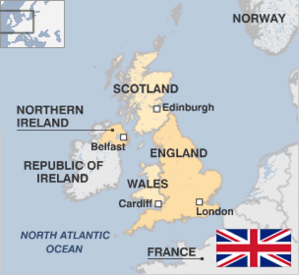
- Elevated flood risks for southern and western regions, including Wales and south-west England
- Potential for strong winds causing transport disruption, structural damage, and power cuts
- Waterlogged soils impacting agricultural planning and autumn crop planting schedules
The Polar Vortex and Late Winter Snow Chances
Despite the generally milder and wetter signature associated with El Niño during the autumn months, the climate pattern can sometimes influence atmospheric conditions later in the winter season.
Some meteorological studies indicate that strong El Niño events can induce a weaker stratospheric polar vortex in late winter. When the polar vortex wobbles, weakens, or reverses direction, it can alter the behavior of the jet stream, paving the way for Sudden Stratospheric Warming (SSW) events.
These disruptions can occasionally deliver colder northerly or easterly winds to the British Isles, raising the potential for ice and freezing temperatures. However, historical evidence linking El Niño directly to cold spells remains mixed:
- The severe ‘Big Freeze’ of winter 2009/2010 coincided with an active El Niño phase.
- Conversely, the 2006/2007 El Niño winter proved to be unseasonably warm across the UK.
- The infamous ‘Beast from the East’ in 2018 occurred during a La Niña year, demonstrating that multiple variables dictate winter severity.
Dr Will Lang, the Met Office’s chief forecaster, reiterates that while El Niño shifts the statistical odds toward unsettled autumns and potential late-winter cold snaps, local weather systems, Atlantic patterns, and broader climate drivers remain critical variables.
Wider Impacts on Energy and Infrastructure
Beyond immediate weather risks, the broader implications of a supersized El Niño extend into national infrastructure, energy markets, and supply chains. Government and industry operators have evaluated multiple scenarios for the coming months:
- Energy Systems: A milder, windier start to winter could boost domestic wind power generation and reduce reliance on imported Liquified Natural Gas (LNG). However, colder conditions later in winter could heighten global competition for energy supplies.
- Food Security: International agricultural impacts-such as drought pressures affecting rice production in Asia and cocoa yields globally-could influence import costs and domestic food inflation.
- Transport and Planning: Environment Agency officials and transport networks remain on alert for coastal flooding and wind-related transit delays, urging local authorities to prepare for a potentially busy storm season.
As meteorological models continue to monitor the Pacific basin, official guidance advises the public to stay updated through seasonal forecasts from the Met Office as the winter 2026/27 period progresses.