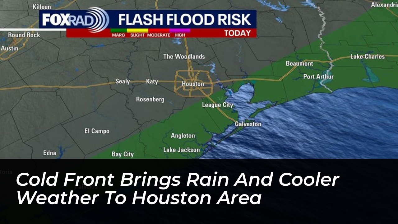


A cold front moving through Southeast Texas late Monday night into Tuesday morning is bringing cooler, drier air to the Houston region following a weekend of heavy downpours and flood threats along the coast. Residents can expect a noticeable atmospheric shift as the front clears out the heavy humidity and lingering storm systems.
Showers and thunderstorms are expected to persist across the area during the transition, with coastal locations facing the highest potential for heavy rainfall. The Weather Prediction Center placed Southeast Texas under a marginal risk for excessive rainfall, noting that coastal zones could receive between 1 and 3 inches of rain as the system tracks southeast.
National Weather Service Details Coming Changes
The National Weather Service in Houston detailed the upcoming atmospheric shift in its weekend briefing, outlining the anticipated temperature impact following the passage of the cold front. Forecasters noted that while the weekend brought persistent storm threats and localized downpours, the incoming boundary will usher in a more stable, autumn-like air mass.
Meteorologists emphasize that rainfall rates could briefly intensify as individual cells move over the region, but the persistent moisture will quickly sweep out toward the Gulf of Mexico once the front completes its passage. Daytime high temperatures are expected to moderate significantly behind the boundary, giving residents a break from persistent regional humidity.
Impact on Regional Weather and Safety
Emergency management officials across Harris County and surrounding coastal counties continue to monitor drainage areas following days of saturated ground conditions. Drivers are advised to remain cautious on roadways where standing water may linger in poor-drainage spots.
- Cold front arrives across Southeast Texas late Monday night into Tuesday morning.
- Coastal zones face the highest rainfall totals, ranging from 1 to 3 inches.
- Weather Prediction Center maintains a marginal risk for excessive rainfall.
- Cooler and drier conditions follow the frontal passage later in the week.
As the drier air mass takes hold, conditions across the Greater Houston area will stabilize, paving the way for comfortable daytime temperatures and clearer skies heading into the latter half of the week.