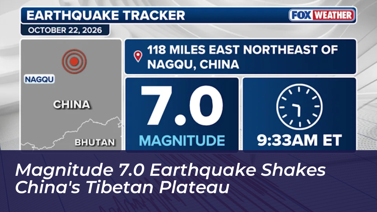

A powerful magnitude 7.0 earthquake struck China’s Tibetan Plateau on Thursday evening. The quake shook a remote area north of the Himalayan Mountain Range. It exposed approximately 132,000 people to moderate to severe ground movement, according to the U.S. Geological Survey (USGS). Local authorities and state media reported multiple casualties and significant property damage following the disaster.
Details of the Seismic Event and Local Impacts
The main quake occurred at 10:33 p.m. local time. It was centered about 119 miles east-northeast of Nagqu. The USGS recorded the depth of the earthquake at 11.2 miles. Meanwhile, China’s Earthquake Networks Center estimated a shallower depth of 6.2 miles. India’s National Center for Seismology (NCS) also registered the event at 8:03 p.m. Indian Standard Time. It placed the epicenter north-northwest of Arunachal Pradesh’s Pandin at a depth of 173 kilometers.
According to China’s state news agency Xinhua, citing local officials, at least 16 people were killed and 32 others were wounded. More than 300 homes collapsed across the high-altitude, sparsely populated zone. State broadcaster CCTV noted that the tremor was the largest to hit the region in the past five years. Nagqu lies more than 186 miles north of Tibet’s regional capital, Lhasa.
Geological Context of the Tibetan Plateau
The earthquake struck a heavily active seismic zone. This zone is driven by the ongoing collision between the Indian and Eurasian tectonic plates. The USGS explains that this monumental collision began roughly 50 million years ago. It eventually gave rise to the Himalayan Mountain Range and elevated the vast Tibetan Plateau.
The plateau continues to spread east and west under its own immense weight. As it does, the underlying Earth’s crust stretches and fractures along normal faults. This ongoing tectonic deformation regularly triggers major seismic events. Historical records show that since 1900, 29 earthquakes of magnitude 7.0 or greater have impacted the Tibetan Plateau and its surrounding territories. The largest among them was the massive magnitude 8.6 Assam-Tibet earthquake on August 15, 1950, which claimed more than 4,000 lives.
Broader Region Vulnerability
The epicenter was situated in a remote territory. This limited widespread hazards like massive landslides or severe soil liquefaction near dense urban centers. However, the combination of high altitude and harsh weather conditions continues to complicate rescue and recovery operations. The region is still recovering from earlier environmental stressors. These included a catastrophic glacial collapse and flash flooding in a border region between Nepal and Tibet less than two months prior.
Emergency management teams and local authorities remain deployed in the affected sectors. They are working to account for missing residents, clear blocked transit routes, and provide emergency shelter to displaced families as aftershocks continue to be monitored.