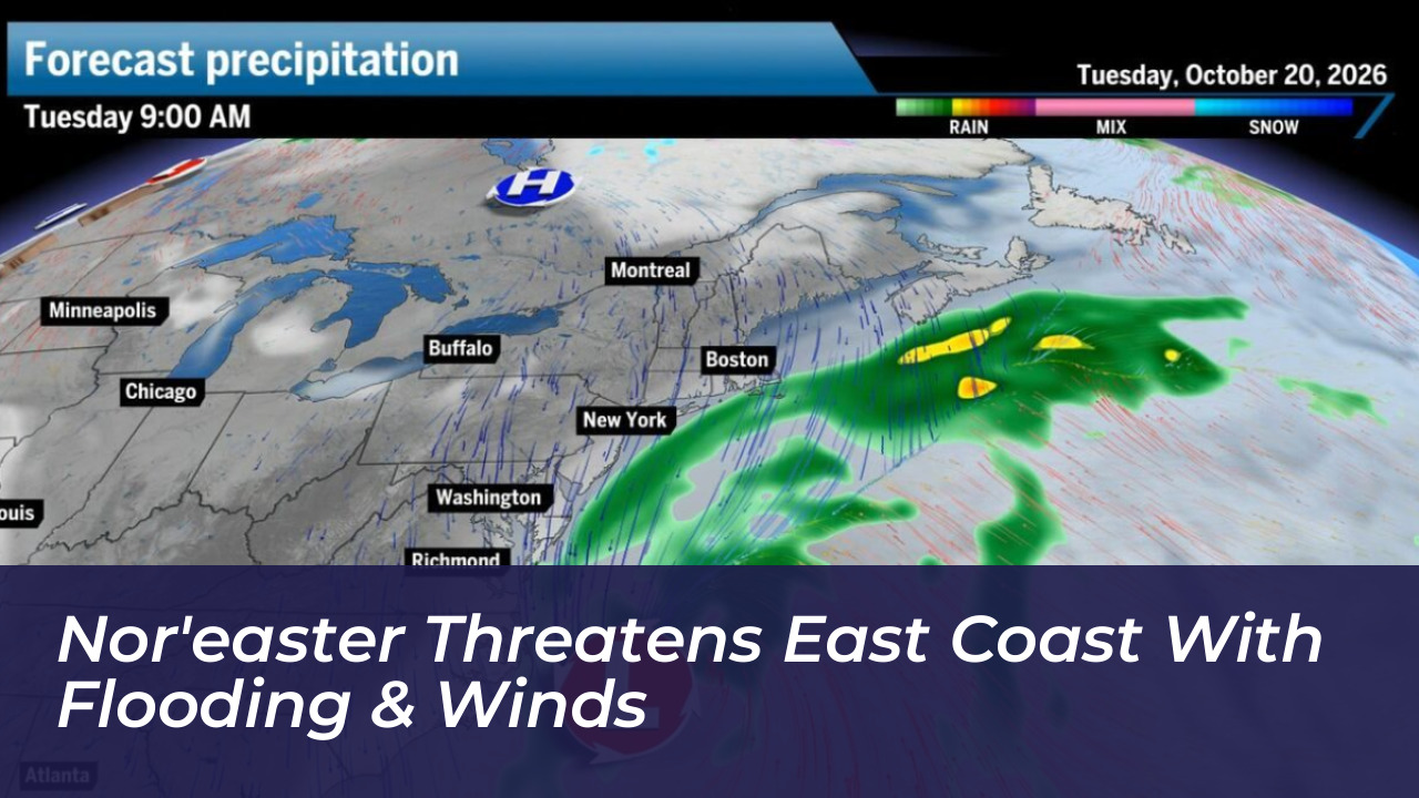

A developing nor’easter moving through the Atlantic is bringing several days of strong winds, rough surf, and dangerous coastal flooding to parts of the East Coast, stretching from North Carolina up to New England. Forecasts published by the FOX Forecast Center indicate that the storm system will impact vulnerable coastal communities through Thursday, while southeastern New England experiences scattered showers.
The most significant and immediate impacts are concentrated along North Carolina’s Outer Banks, where forecasters warn wind gusts could reach between 40 and 60 mph. The powerful combination of elevated water levels and fierce surf has already prompted mandatory evacuations for residents of Hatteras Island as local conditions rapidly deteriorate.
Severe Flooding and Erosion Concerns
Coastal flood alerts remain active across North Carolina and Virginia, where forecasters project water levels could rise an additional 2 to 4 feet. Emergency management officials have identified several regions facing severe inundation threats, including the Outer Banks, the Chesapeake Bay region, and Ocean City, Maryland.
Meteorologists note that persistent onshore winds are locked in across multiple high-tide cycles. This traps water in back bays and prevents proper drainage during low tide. The relentless wave action threatens to compound beach erosion and cause major overwash on vulnerable infrastructure, including portions of North Carolina Highway 12.
Key Impacts Across the East Coast:
- Wind Gusts: Peak winds ranging from 40 to 60 mph along immediate coastal areas, capable of causing localized power outages.
- Coastal Inundation: Water levels rising 2 to 4 feet above normal across parts of North Carolina and Virginia under active flood advisories.
- Evacuations: Mandatory evacuation orders issued for residents living on Hatteras Island ahead of worsening conditions.
- Duration: Severe weather conditions expected to persist through late Wednesday evening before gradually weakening on Thursday.
Tracking the Storm’s Progression
The National Hurricane Center has monitored the system for potential tropical development, noting a 30% chance over a seven-day window. Even without full tropical transition, the storm is maintaining strong frontal characteristics. It will generate heavy rain, gusty winds, and hazardous surf conditions as it lingers near the coastline.
Emergency management agencies continue to track tide cycles closely. They urge residents in low-lying and flood-prone areas to monitor local forecasts. While conditions are anticipated to gradually improve by late Thursday, travelers and coastal residents are advised to exercise extreme caution near beaches and coastal roadways throughout the event.