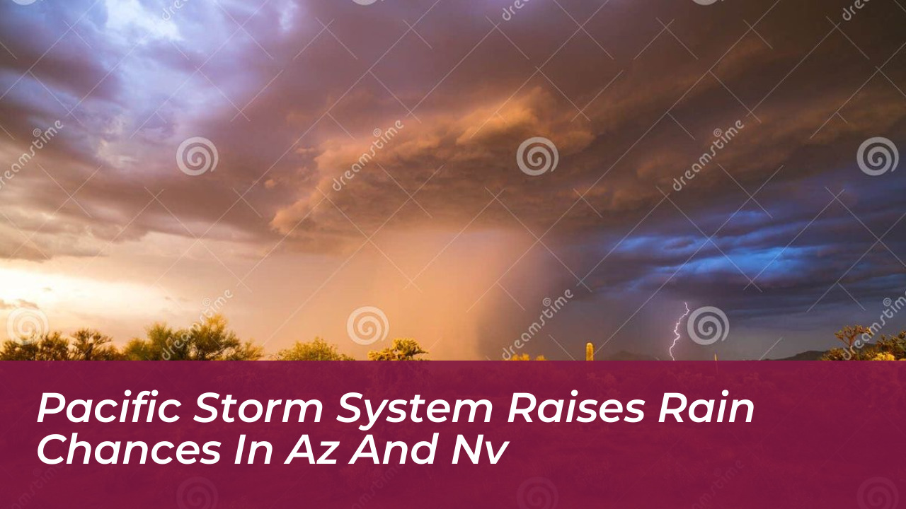

A developing Pacific weather system will increase rain and thunderstorm chances across southern Arizona and southern Nevada this week. Forecasters indicate that Wednesday night and Thursday will bring the most widespread precipitation, particularly around Tucson, offering much-needed relief and cooler autumn temperatures.
Regional meteorologists report that Tucson faces a 40% chance of showers and thunderstorms on Monday, with slightly lower chances on Tuesday. Activity will increase significantly by midweek, as rain probabilities climb to 40% on Wednesday night and 50% on Thursday. Heavy rainfall is possible, with the region facing marginal to slight risks for excessive precipitation during the peak of the storm.
Midweek Weather Shifts and Impacts
Along with rising moisture, forecasters expect breezy conditions throughout the middle of the week, apart from localized wind gusts from individual thunderstorms. Daytime high temperatures in Tucson, hovering in the mid-80s over the next several days, will drop into the 70s later in the week as the Pacific trough moves inland.
A similar weather pattern is developing in southern Nevada. An approaching Pacific trough will drive the region’s next significant chance of rainfall. While lingering moisture from tropical systems may add to the atmospheric setup, the incoming trough will control the main stormy conditions.
Regional Outlook and Extended Forecast
Neighboring communities in southern California and parts of southwestern Utah are also tracking the storm. Las Vegas updates indicate that while early-week conditions may feature passing clouds or virga due to a dry lower atmosphere, incoming low-pressure systems will quickly reorganize.
- Monday: Slight chance of early activity, with mild temperatures.
- Tuesday: Precipitation chances rise as moisture flows into the region.
- Wednesday and Thursday: Peak window for widespread showers, thunderstorms, and cooler daytime highs.
- Friday and Beyond: Drier conditions return, leaving below-normal temperatures for the weekend.
Residents across Arizona and Nevada should monitor local forecasts for updates, especially regarding localized heavy downpours and gusty winds from the advancing Pacific system.