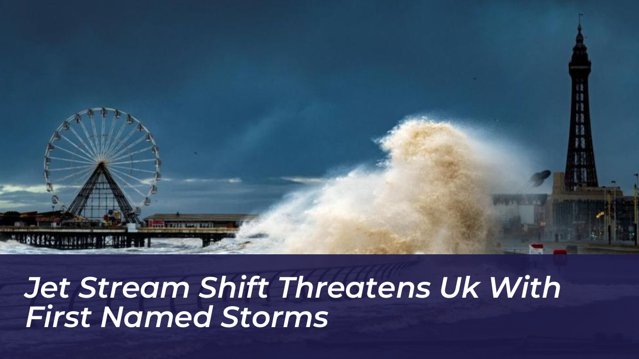

The United Kingdom has experienced an unusually quiet start to the autumn season, remaining without its first named storm due to dominant high-pressure systems and an uncharacteristically positioned jet stream. However, meteorologists warn that a significant atmospheric shift is underway, bringing the prospect of wetter, windier conditions and potentially the season’s first named storms.
So far, the persistent high-pressure pattern has deflected major Atlantic low-pressure systems away from the UK. This resulted in warmer-than-normal temperatures and limited rainfall across large parts of England and Wales. While Scotland and Northern Ireland have absorbed the heaviest downpours, regions like Herefordshire received only one-tenth of their average mid-October rainfall. Conversely, severe dry conditions prompted the Environment Agency to declare a drought across parts of southern England due to exceptionally low reservoir levels.
How the Jet Stream Controls UK Weather
The jet stream is a narrow core of fast-moving winds situated high in the atmosphere. It acts as the primary conveyor belt for Atlantic weather systems. During autumn, falling temperatures in polar regions widen the temperature contrast with the warmer tropics. This naturally energizes the upper-level wind band.
Earlier in the season, the jet stream frequently sat to the north or north-west of the UK. It steered turbulent weather away and fostered prolonged calm. According to Met Office forecasts and meteorological analysts, that pattern is now breaking down. An energized jet stream, amplified by shifting Atlantic dynamics, is moving southward across the UK. This change opens the door for deeper low-pressure systems to sweep in.
What to Expect as Conditions Turn Unsettled
Forecasters anticipate a sharp transition from settled mist and fog to a volatile mix of heavy rain, thunder, hail, and strong gales. Jim Dale, a meteorologist with British Weather Services, noted that the incoming weather systems will mark a dramatic departure from the opening weeks of autumn. They bring risks of localized flooding as heavy downpours hit ground that has remained dry for weeks.
While the Met Office has not yet issued official warnings or named the potential weather systems, experts monitor the Atlantic closely. Under the European storm-naming partnership-comprising the UK’s Met Office, Ireland’s Met Éireann, and the Netherlands’ KNMI-storms are named when severe winds, heavy rain, or snow threaten widespread disruption and amber or red weather warnings.
Historical Context and Seasonal Outlook
Though an early-season drought has dominated headlines, awaiting the first named storm past November is not unprecedented. Historical data since the naming initiative began in 2015 shows that approximately half of all seasons see their first official storm arrive after November 1.
Looking further ahead into late autumn and early winter, seasonal outlooks suggest an elevated probability of stormy periods. Factors such as broader global climate patterns, including fading El Niño conditions and shifting polar vortex dynamics, continue to influence long-term forecasting models. They point toward a much more active and disruptive phase for British weather.
Frequently Asked Questions
Why hasn’t the UK had any named storms yet this season?
High-pressure systems have dominated the UK’s weather pattern. They steered deep Atlantic low-pressure systems away and kept the jet stream positioned mostly to the north and north-west.
What is the jet stream and how does it affect UK storms?
The jet stream is a fast-moving band of air high in the atmosphere that acts as a conveyor belt for weather systems. When it dips across the UK, it drives low-pressure storms and wet, windy weather inland.
When does the UK storm-naming season run?
The UK storm-naming season officially runs from September through August of the following year. Peak storm frequency typically occurs during the winter months of December, January, and February.
Who decides when a storm is named in the UK?
Storms are named collaboratively by the Met Office (UK), Met Éireann (Ireland), and KNMI (Netherlands). The decision is based on the potential impact and likelihood of severe weather caused by wind, rain, or snow.
Will climate change make UK storms worse?
Scientific research indicates that a warmer atmosphere holds more moisture. This can intensify rainfall rates and increase the potential for severe flooding and damaging winds during major storms.