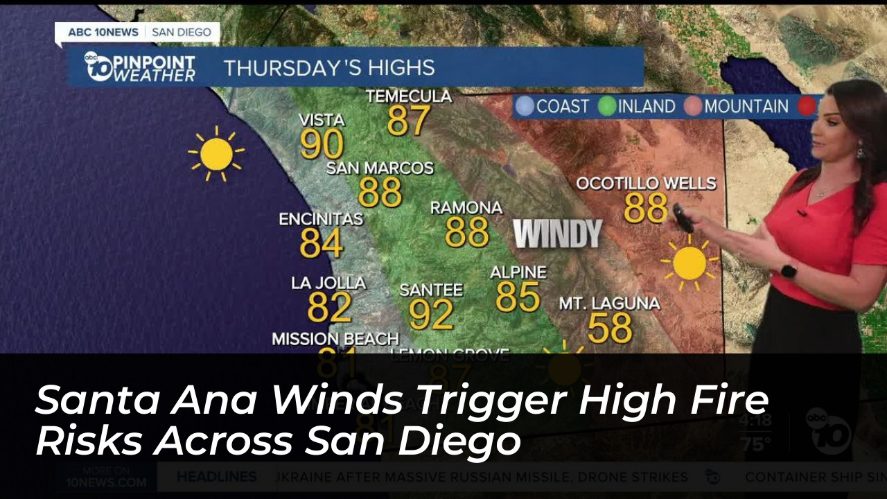

San Diego County is bracing for a potent combination of strong offshore winds and soaring temperatures as the region’s first major Santa Ana wind event of the season sweeps through Southern California. The National Weather Service (NWS) has issued a high wind warning spanning from Thursday morning through Saturday evening, October 15-17, 2026. This puts inland, mountain, and foothill communities on high alert for elevated wildfire dangers, potential power interruptions, and hazardous travel conditions.
According to forecasts from local meteorologists and regional news outlets, the weather pattern is driven by high pressure building over the Great Basin near Nevada. As air rushes downward from the high basin toward Southwest California, it accelerates over mountain ranges, creating warm, dry, and gusty northeast-to-east winds.
Wind Speeds and Regional Breakdown
The peak of the weather event is expected on Friday. It will bring powerful gusts capable of knocking down trees, scattering loose debris, and creating dangerous driving conditions, particularly for high-profile vehicles.
- Eastern Valley Communities: Northeast to east winds of 20 to 30 mph, with sustained gusts reaching 45 to 55 mph and locally higher speeds near mountain foothills.
- Western Valleys: Localized wind gusts ranging from 35 to 45 mph.
- Mountain Communities: Sustained winds of 25 to 35 mph with powerful gusts reaching 50 to 65 mph.
While recent seasonal precipitation has kept vegetation fuels from being fully primed for extreme ignition across parts of the county, meteorologists warn that low humidity, dry air masses, and fierce winds can allow any accidental fire to spread rapidly.
Coastal Heat Advisories and Proactive State Measures
While inland areas face severe wind threats, coastal communities in San Diego County are experiencing a concurrent heat advisory. Temperatures are expected to climb into the mid-90s, compounding discomfort and increasing overall weather-related strain.
At the state level, Governor Gavin Newsom directed the California Department of Forestry and Fire Protection (CAL FIRE) and the Governor’s Office of Emergency Services (Cal OES) to preposition firefighting assets, engine strike teams, and aircraft across Southern California. The State Operations Center has transitioned into an enhanced readiness posture to support local fire departments as conditions evolve.
Potential Power Shutoffs and Public Safety Guidance
Utility providers across Southern California are closely monitoring the red flag and high wind conditions. Residents should prepare for potential Public Safety Power Shutoffs (PSPS). These are temporary measures implemented by utility companies to prevent electrical infrastructure from sparking fires during high wind events.
Local emergency management officials urge residents in impacted areas to take the following precautions:
- Stay Informed: Monitor local emergency alerts and follow updates from public safety officials.
- Prepare for Outages: Have backup power sources ready and check on neighbors who rely on electricity-powered medical equipment.
- Prevent Sparks: Avoid outdoor activities that involve open flames, grinding, welding, or equipment that could strike rocks and create sparks.
- Secure Outdoor Items: Tie down outdoor furniture, patio items, and seasonal decorations to prevent them from blowing into roadways or power lines.
Forecasters note that gusty conditions will likely persist across inland regions into Saturday night before offshore pressure gradients begin to weaken.