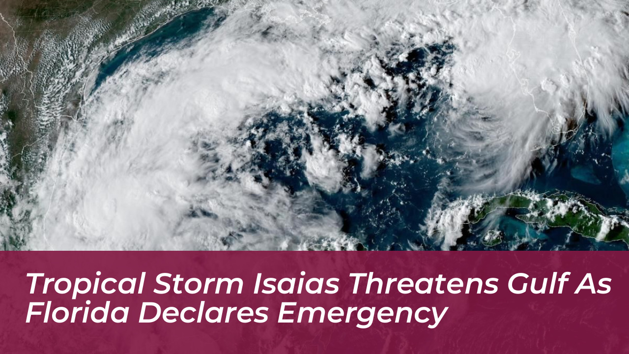


Tropical Storm Isaias formed over the warm waters of the southern Gulf of Mexico. This prompted swift emergency preparations and a state of emergency declaration across 25 counties in Florida. Forecasters warn that the system is expected to rapidly intensify into a powerful hurricane before making landfall along the northern Gulf Coast.
Storm Development and Track
According to the National Hurricane Center in Miami, Isaias developed from Tropical Depression Nine in the Bay of Campeche. The system was centered roughly 285 miles west of Progreso, Mexico, and about 580 miles southwest of the Mississippi River’s mouth.
At the time of its formation, Isaias packed maximum sustained winds of 40 mph while moving east-northeast at a speed of 8 mph. Meteorologists project that the storm will turn northward and undergo rapid intensification, potentially becoming the Atlantic season’s first hurricane by Thursday. Forecasters anticipate landfall late Friday or early Saturday along a coastline stretching from southeastern Louisiana to the Florida Panhandle.
Florida Declares State of Emergency
In response to the looming threat, Florida Governor Ron DeSantis signed an executive order declaring a state of emergency for 25 counties across the Panhandle and Big Bend regions. The emergency declaration authorizes the Florida Division of Emergency Management and the State Emergency Response Team to pre-position critical supplies, equipment, and personnel.
“This order will allow the Florida Division of Emergency Management to stage critical preparedness resources and ensure Florida is ready to respond,” DeSantis stated. Officials have begun staging generators, fuel supplies, flood barriers, sandbags, bottled water, and meals ready-to-eat in strategic locations including Tallahassee and Santa Rosa.
Counties Under Emergency Declaration
The state of emergency covers a broad swath of North Florida to ensure local communities can mobilize rapidly. The affected counties include:
- Baker
- Bay
- Calhoun
- Columbia
- Dixie
- Escambia
- Franklin
- Gadsden
- Gilchrist
- Gulf
- Hamilton
- Holmes
- Jackson
- Jefferson
- Lafayette
- Leon
- Liberty
- Madison
- Okaloosa
- Santa Rosa
- Suwannee
- Taylor
- Walton
- Wakulla
- Washington
Expected Weather Impacts
Beyond the immediate risk of high winds near the center of the storm, Isaias is expected to drop heavy rainfall across the central U.S. Gulf Coast and parts of the Southeast. Forecasters predict widespread rainfall totals of 3 to 6 inches, with localized amounts reaching up to 10 inches from southeastern Louisiana into the Florida Panhandle.
“Residents from Louisiana to the Florida Panhandle should closely monitor the latest forecast updates and ensure they have their hurricane plan in place,” the National Hurricane Center warned.
Because recent weather events have already left local ground heavily saturated, state officials warn that additional heavy rain could trigger flash flooding and urban inundation. Coastal flooding, dangerous rip currents, and isolated tornadoes are also listed among the primary threats as the system approaches land.