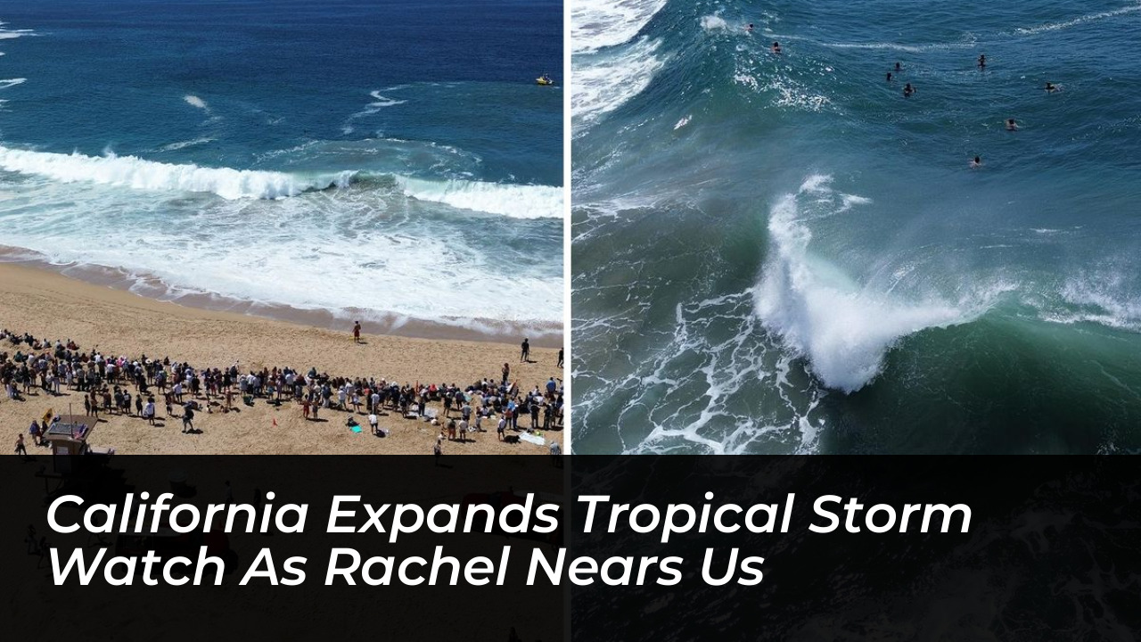

California faces an unusual tropical storm threat as Tropical Storm Rachel moves steadily toward the U.S.-Mexico border. The system puts San Diego County and the broader Southern California region at direct risk of coastal flooding, heavy rain, and strong winds. On Friday, October 9, 2026, forecasters warned that the most severe coastal impacts will likely arrive on Sunday, coinciding with high tides that could approach historical records.
The National Weather Service reported high confidence that coastal flooding will trigger significant impacts across the region. San Diego County, stretching from the Mexican border north to the Orange County line, remains the primary focus of the tropical storm watch. This emergency declaration marks only the second time in modern California history that such a watch has been issued for the state.
Storm Track, Winds, and Intensity Projections
As of Friday morning, Tropical Storm Rachel maintained maximum sustained winds of 50 mph while located about 800 miles southwest of San Diego. Meteorological forecasts indicate the system will strengthen slightly to nearly 65 mph by Saturday evening. It is expected to reach the U.S.-Mexico border late Saturday or early Sunday.
Despite moving through an environment with dry air, Rachel is capitalizing on warm ocean water running 6 to 7 degrees Celsius above normal just offshore. Interaction with an approaching mid-to-upper-level trough steers the storm toward the coast while providing the upper-level divergence necessary to maintain its structural integrity.
Regional Rainfall and Inland Impacts
While coastal flooding is the primary concern, rainfall will accompany the storm. Rainfall totals through Sunday evening are projected to range from 0.10 to 0.50 inches across Los Angeles and Ventura counties. Meanwhile, the San Gabriel Mountains could receive up to 1 inch of precipitation.
Heavier precipitation totals of 1 to 3 inches, with locally higher amounts up to 5 inches, are expected across portions of the Southwest United States, raising concerns for flash and urban flooding. Cities across the Mojave Desert, Palm Springs, Las Vegas, and parts of Arizona and Utah face elevated risks of excessive rainfall and localized flash flooding through early next week.
Historic El Niño and Unusually Active Pacific Season
Meteorologists note that Rachel’s approach aligns with a historically active tropical season in the Pacific Ocean. Driven by a powerful El Niño event-with the National Oceanic and Atmospheric Administration placing the probability of a historic, record-breaking event at 83%-the Pacific has doubled the Atlantic in named tropical systems this year.
“We are having a historical number of tropical storms. It speaks to something we very rarely ever see where the Pacific is doubling the Atlantic in tropical systems,” said KTLA meteorologist Henry DiCarlo.
Coastal communities from Long Beach to San Diego have already experienced significant disruptions from large waves, seawall breaches, and flooded roadways. Local authorities continue distributing sandbags and urging residents in low-lying, vulnerable coastal zones to complete emergency preparations before hazardous conditions peak over the weekend.