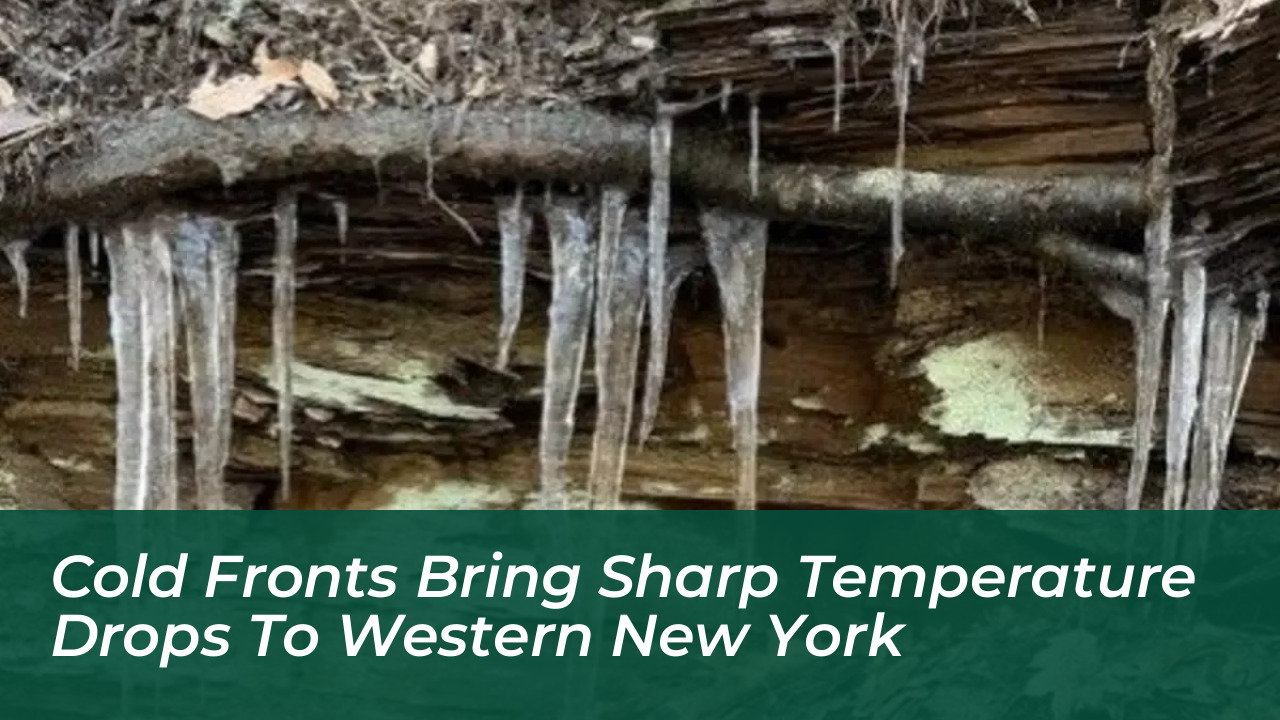

Western New York is heading into a significant midweek cooldown as a pair of consecutive cold fronts sweep across the region. The weather shift brings a dramatic contrast to recent unseasonably warm conditions, introducing rain showers, gusty winds, and even the possibility of the season’s first snowflakes to parts of the state.
Midweek Cooldown Replaces Unseasonably Warm Weather
The abrupt shift in weather follows a brief warm spell where some areas experienced temperatures climbing 20 degrees above normal. According to the National Weather Service in Buffalo, residents can expect progressively colder conditions as multiple weather systems cross the Lower Lakes.
In Buffalo, high temperatures are forecast to drop to around 65 degrees Wednesday. The cooling trend continues into the latter half of the week, with high temperatures projected to reach:
- Thursday: Approximately 65 degrees
- Friday: Around 62 degrees
- Saturday: A chilly 49 degrees
- Sunday: A modest recovery to about 61 degrees
Rain Showers and Frost Risks Accompany Fronts
The first cold front arrives midweek, with secondary systems pushing through toward the end of the week. Fox Baltimore reports that Wednesday’s weather system could produce scattered rain showers and thunderstorms, with damaging wind gusts identified as the primary threat if any severe weather develops.
As the systems progress, dry weather is anticipated for Thursday before a low-pressure area crosses the Great Lakes, bringing periods of rain Thursday night through Friday. This sets the stage for the arrival of the coolest air of the fall season.
Possibility of Early Snowflakes and Rapid Recovery
By Saturday, the influx of cold air will peak, creating conditions cold enough to mix a few wet snowflakes into the air early in the morning across parts of Western and North Central New York.
“The coolest air of the fall season will then arrive Saturday, with the chance of a few wet snowflakes in the air early in the morning,” states the National Weather Service forecast summary.
Fortunately, the sharp temperature drop will be short-lived. Meteorologists note that a quick warm-up is expected to return early next week, bringing temperatures back closer to seasonal averages.