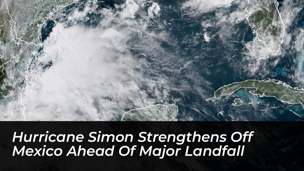


Hurricane Simon has strengthened significantly over the eastern Pacific. It is forecast to intensify into a dangerous Category 4 storm before reaching southwestern Mexico. The system threatens coastal communities with destructive winds, torrential rainfall, flash flooding, and a major storm surge over the weekend, according to official forecasts published on Thursday, Oct. 8, and Friday, Oct. 9, 2026.
The National Hurricane Center (NHC) in Miami reported that Simon was located approximately 235 miles (380 kilometers) south of Manzanillo, a major port city in western Mexico. At the time of the advisory, the hurricane carried maximum sustained winds of approximately 75 mph (120 kph) and was moving west-northwest at a speed of 6 mph (9 kph).
Intensification and Track Forecast
Forecasters expect the storm to make a gradual turn to the northwest early Friday. This will be followed by a northward motion on Saturday. The core of the hurricane is projected to approach Mexico’s southwestern and west-central coastline on Saturday, with potential landfall expected early Sunday morning.
Meteorologists note that waters across much of the eastern Pacific are several degrees warmer than the historical average. Combined with low wind shear, these environmental conditions are highly favorable for rapid intensification. AccuWeather Lead Hurricane Expert Alexander DaSilva stated that Simon’s inner core structure supports quick strengthening. However, proximity to the mountainous terrain of Mexico could eventually introduce dry air and limit late-stage intensification.
A hurricane warning remains in effect from Punta San Telmo to Punta Mita. Meanwhile, a tropical storm watch has been issued for areas extending east of Punta San Telmo to Lazaro Cardenas. Authorities urge residents to complete final emergency preparations.
Rainfall, Flooding, and Terrain Risks
The storm is expected to dump massive amounts of rainfall across southwestern Mexico. This creates severe threats of life-threatening flash floods and mudslides, particularly in areas of steep mountainous terrain.
- Coastal Jalisco and Colima: Widespread totals of 18-24 inches expected, with localized amounts up to 25 inches.
- Southwestern Mexico (Nayarit to Guerrero): General heavy accumulation ranging from 12-18 inches.
- Broader Regional Spread: 1-2 inches expected to stretch from western Oaxaca northward through Chihuahua and into portions of the southwestern United States.
Rainfall impacts are projected to begin across southwestern Mexico as early as Thursday night. Moisture will eventually spread inland and toward southern portions of the Plains by the following Tuesday night.
Winds and Dangerous Storm Surge
Destructive winds will hammer the southwestern coast of Mexico as Simon approaches landfall on Sunday morning. Forecasters predict wind gusts of 100-120 mph along coastal Jalisco, Nayarit, and Sinaloa, with stronger gusts of 120-140 mph in far western Jalisco. Near the eyewall, maximum gusts could reach between 140 and 160 mph, capable of causing widespread power outages, downed trees, and catastrophic structural damage.
In addition to winds, strong onshore movement is expected to generate a dangerous storm surge of 10-15 feet along portions of the Jalisco coastline. This will be accompanied by life-threatening surf and rip current conditions.
Broader Tropical Activity
Simultaneously, meteorologists are monitoring other tropical systems across North American basins. Tropical Storm Rachel in the eastern Pacific is tracking toward Southern California and the southwestern United States, bringing heavy rain and flash flood risks. Meanwhile, Hurricane Isaias is slated to impact the central Gulf Coast in the Atlantic basin, driving coastal flooding and damaging winds across parts of the Florida Panhandle.