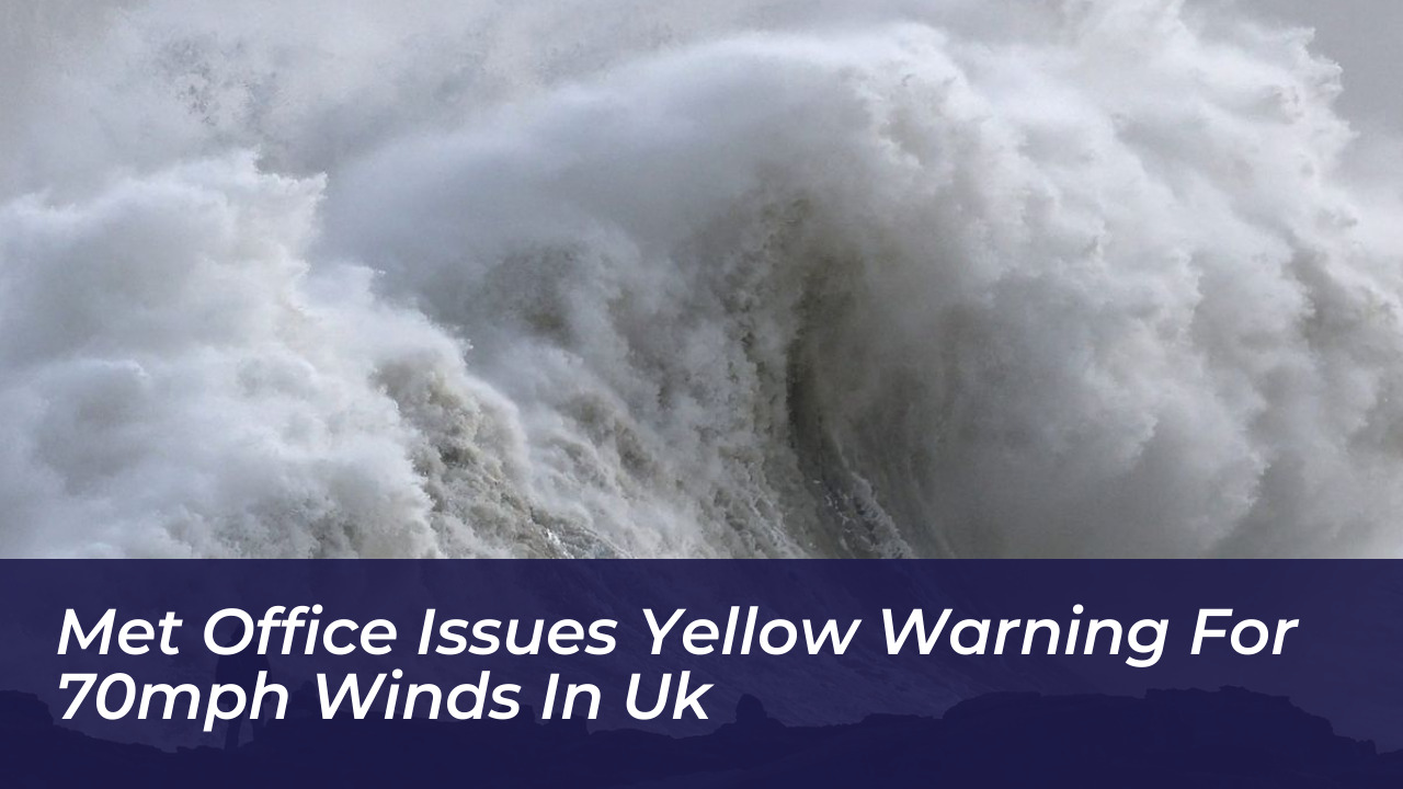

The UK Met Office has issued a yellow weather warning. Strong winds exceeding 70mph and heavy rain threaten to disrupt transport, damage property, and cause power outages across parts of England and Wales later this week.
The severe weather warning runs from midnight Thursday until midday on Friday. Forecasters predict that the disruptive weather system will impact large swathes of the South West, sections of the South East coast-including Brighton and East Suss*x-and major parts of Wales.
What to Expect From the Weather Warning
Meteorologists say widespread wind gusts of 50mph to 60mph are likely across the affected regions. However, exposed coastal locations and elevated areas could experience destructive winds surging above 70mph.
Deputy chief forecaster Tom Crabtree explained the developing meteorological situation, stating: “An area of the forecast we’re particularly focusing on is the development of a potentially deep area of low pressure that could cross the UK overnight on Thursday and through Friday. It has the potential to bring some strong winds, though the location of the strongest winds will be determined by the low position.”
In addition to gale-force winds, persistent heavy rain will sweep across the regions to compound travel difficulties. The Met Office has outlined several potential hazards associated with the warning:
- A slight chance of damage to buildings, including tiles blown from roofs.
- A small risk of injuries and danger to life from flying debris.
- Disruption to road, rail, air, and ferry services leading to longer journey times or cancellations.
- Potential closures of major roads and bridges, particularly for high-sided vehicles.
- A slight chance of power cuts that could temporarily affect mobile phone coverage.
- Danger to life along coastal areas from large waves and beach material being thrown onto sea fronts and coastal roads.
Regions and Local Authorities Affected
The yellow weather warning spans multiple regions across southern and western portions of the UK. Residents in the following local authority areas should stay vigilant:
London & South East England
Brighton and Hove, East Suss*x, Hampshire, Isle of Wight, Portsmouth, Southampton, and West Suss*x.
South West England
Bath and North East Somerset, Bournemouth Christchurch and Poole, Bristol, Cornwall, Devon, Dorset, Gloucestershire, Isles of Scilly, North Somerset, Plymouth, Somerset, South Gloucestershire, Torbay, and Wiltshire.
Wales
Blaenau Gwent, Bridgend, Caerphilly, Cardiff, Carmarthenshire, Ceredigion, Merthyr Tydfil, Monmouthshire, Neath Port Talbot, Newport, Pembrokeshire, Powys, Rhondda Cynon Taf, Swansea, Torfaen, and the Vale of Glamorgan.
West Midlands
Herefordshire.
How to Prepare Your Home and Travel Plans
Emergency authorities and weather agencies advise residents living within the warning zones to secure their properties before Thursday night. Loose outdoor items like garden furniture, trampolines, sheds, fences, and household bins should be anchored or stored indoors to prevent them from becoming dangerous projectiles.
Drivers and public transport users should check local travel conditions before setting out on Friday morning, and allow extra time for potential delays. Coastal visitors must stay well back from stormy seas, towering waves, and cliff edges, and keep dogs safely on leads.
With power cuts a distinct possibility, households should prepare emergency kits containing torches, spare batteries, mobile phone power packs, and essential supplies. Keeping informed through official Met Office forecasts remains crucial as the low-pressure system develops.