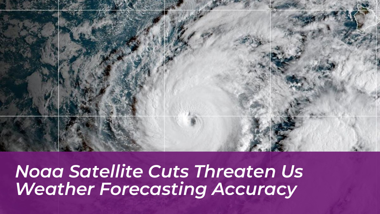

Planned reductions to the United States’ next-generation weather satellite program could leave forecasters without critical observations for months and set meteorological capabilities back by nearly a decade. According to a Government Accountability Office (GAO) report released in October 2026, the budget adjustments target the National Oceanic and Atmospheric Administration’s (NOAA) GeoXO program, which was designed to replace current geostationary weather satellites and improve storm monitoring.
Impact on the GeoXO Program and Lifecycle Costs
The GAO identified potential vulnerabilities in satellite coverage, rising concerns over cost estimates, and weak contingency planning and technology readiness within the initiative. Projected lifecycle costs for the program have been scaled down significantly from $19.6 billion to $13 billion.
These financial restrictions elevate the risk of an operational data gap. Specifically, analysts warn of a window between the retirement of the first operational GOES-R series satellite and the deployment of the initial GeoXO spacecraft, which is currently scheduled for launch in 2032.
Scope of Eliminated Instruments and Monitoring Capabilities
Under revised budget directives, key environmental monitoring instruments face cancellation or reduction. Planned instruments designed to track lightning for severe storm forecasting, measure air pollutants, and monitor ocean conditions-including harmful algal blooms and salinity changes-have been heavily scaled back.
Democratic lawmakers issued a separate warning letter indicating that these reductions undermine the country’s capacity to advance weather prediction at a time when extreme weather events demand reliable, continuous observations. Government officials report that shifting active development to firm-fixed-price contracts midstream forces contractors to simplify designs or accept higher risk profiles, directly affecting timelines.
Consequences for Defense and Interagency Operations
The scaling back of civilian weather infrastructure also impacts military planning and operations. The Department of Defense relies heavily on NOAA feeds for ship routing, flight safety, and space-based environmental monitoring across multiple combatant commands.
For roughly a decade, retiring NOAA GOES satellites have been transferred to the military and repurposed as Electro-Optical Infrared Weather System Geostationary assets over the Indian Ocean. If NOAA trims the GeoXO constellation too severely or delays launches into the 2030s, the Space Force may lose access to these vital handoffs, forcing the Pentagon to procure independent geostationary coverage at a substantial financial and schedule cost.
Space Weather Next Reductions
In addition to geostationary cutbacks, internal budget direction trims NOAA’s Space Weather Next program by approximately $57 million. This reduction narrows preparations for two upstream solar wind monitoring and coronal imagery observatories at the Earth-Sun L1 point following the Space Weather Follow On (SWFO-L1) mission.
Space weather monitoring provides critical early warnings for geomagnetic storms that impact satellite operations, missile warning radars, and communication networks. Without stable funding into the 2030s, warning timelines and particle environment data streams face heightened vulnerability.
Frequently Asked Questions
What is the NOAA GeoXO program?
The Geostationary Extended Observations (GeoXO) program is NOAA’s planned next-generation constellation of weather satellites intended to succeed the GOES-R series and improve monitoring of severe storms, air quality, and ocean conditions.
Why are budget cuts threatening weather forecasts?
Reductions in funding have forced a drop in projected lifecycle costs from $19.6 billion to $13 billion, resulting in canceled specialized sensors, fewer satellites, and an increased risk of coverage gaps between satellite generations.
How do NOAA satellite cuts affect the Department of Defense?
The U.S. military relies on NOAA geostationary data feeds for theater operations, maritime routing, and flight safety. Retiring NOAA satellites have historically been repurposed for Indo-Pacific military coverage, and downsizing the program threatens this vital data handoff.
What is the Space Weather Next program?
Space Weather Next is NOAA’s follow-on architecture designed to provide upstream solar wind monitoring and coronal imagery from the L1 Lagrange point, offering early warnings for geomagnetic storms that affect power grids and satellite communications.
When are the first GeoXO satellites scheduled to launch?
The first GeoXO spacecraft is currently scheduled to launch around 2032, though budget and contracting adjustments raise concerns about potential delays.