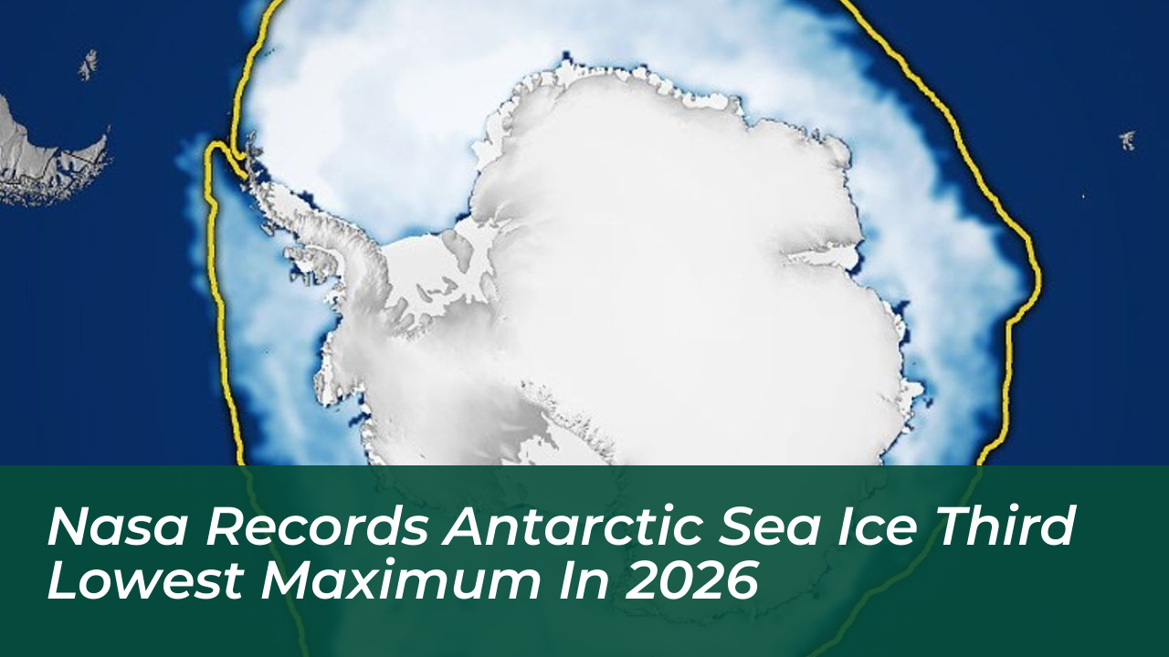

NASA and the National Snow and Ice Data Center (NSIDC) reported that Antarctic sea ice reached its annual maximum extent on September 14, 2026. The ice covered 17.59 million square kilometers (6.79 million square miles), marking the third-lowest seasonal maximum since satellite record-keeping began.
The Antarctic Sea Ice Cycle
Antarctica is a continent surrounded by ocean, which leads to significant seasonal fluctuations in sea ice. The ice expands rapidly during the cold Southern Hemisphere winter, peaking in September, before retreating to its annual minimum during the summer months in February.
Researchers use satellite data to measure these ice sheets. A region is included in the total sea ice extent if it maintains an ice concentration of at least 15 percent. The 2026 peak fell well below historical averages, continuing a trend of low maximums observed over the past decade.
Scientific Analysis and Future Outlook
Antarctic sea ice coverage has remained lower than levels recorded prior to 2016. Because the southern polar system is complex, scientists find long-term predictions and trend attribution difficult.
Nathan Kurtz, chief of the Cryospheric Sciences Laboratory at NASA’s Goddard Space Flight Center, stated that the drivers of these fluctuations require continuous monitoring. Walt Meier, a senior scientist at the NSIDC, added that researchers are analyzing whether this reduced coverage represents a permanent shift or a temporary phase.
As satellite instruments continue to capture high-resolution imagery, Earth science teams will keep tracking these polar shifts to better understand global climate dynamics.