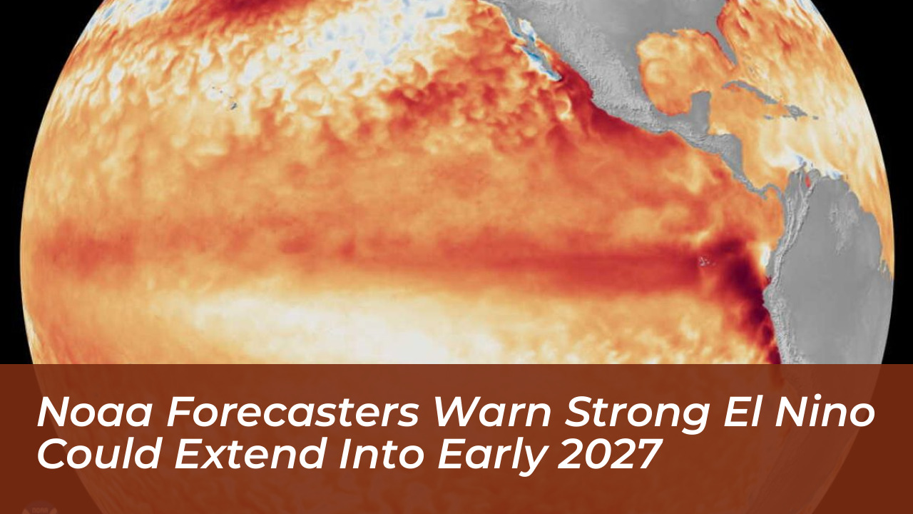



Federal forecasters from the National Oceanic and Atmospheric Administration (NOAA) have issued stern warnings that a developing “very strong” El Niño event in the Pacific Ocean could trigger historic weather disruptions across the globe, with impacts extending well into early 2027.
This natural climate pattern occurs every two to seven years when surface waters in the equatorial eastern Pacific warm significantly. This warming releases massive amounts of heat into the atmosphere and alters global weather systems. NOAA measures the intensity of these events by monitoring sea surface temperatures off South America. It classifies an El Niño as “very strong” when water temperatures exceed 2 degrees Celsius above average.
The current event has already set temperature records for this time of year, drawing direct comparisons to historic events like the 1982-83, 1997-98, and 2015-16 episodes. Climate experts emphasize that this event is developing against a backdrop of globally warmer baseline conditions, raising concerns about unprecedented intensity.
The Mechanics of El Niño
El Niño represents the warm phase of the El Niño-Southern Oscillation (ENSO). Under normal conditions, easterly trade winds drive warm water toward Indonesia and Australia, causing cool water to upwell along the South American coast.
When an El Niño develops, the Walker Circulation-a massive east-to-west airflow driven by temperature and pressure differences-weakens or breaks down. Warmer water shifts eastward toward South America, creating a positive feedback loop known as the Bjerknes feedback. NOAA recently adopted the Relative Oceanic Niño Index (RONI) to monitor these shifts more accurately by using a dynamic baseline that evolves monthly.
Global Weather Disruptions and U.S. Impacts
As the strong El Niño intensifies through the winter months, its global impacts will reshape weather patterns across North America and beyond. Forecasters anticipate a heavily energized and southward-displaced subtropical jet stream, leading to distinct regional outcomes:

- Southern U.S. and Gulf Coast: Increased storm activity, heavy rainfall, and an enhanced risk of flooding from autumn through early spring.
- Pacific Northwest and Northern U.S.: Warmer and drier conditions than usual, accompanied by reduced snowfall over the Northern Rockies.
- Atlantic Basin: A suppressed hurricane season due to hostile upper-level wind shear, contrasting with elevated storm potential in the eastern and central Pacific.
Internationally, regions including Indonesia, Australia, Central America, and parts of Southern Asia face heightened risks of drought, failed harvests, and severe wildfires. Agricultural supply chains and global commodity prices could experience significant pressure as a result.
Long-Term Climate Regime Shifts
Beyond immediate seasonal weather extremes, researchers warn that a super El Niño can spark long-lasting consequences. Studies analyzing previous high-intensity events indicate that such occurrences significantly increase the likelihood of “climate regime shifts.” These are abrupt, persistent transitions in regional temperatures, ocean conditions, and soil moisture that endure long after the El Niño itself fades.
With NOAA’s Climate Prediction Center pointing to high probabilities that El Niño conditions will persist through early spring 2027, emergency managers, agricultural planners, and coastal communities are urged to prepare for prolonged environmental changes rather than a quick return to historical baselines.