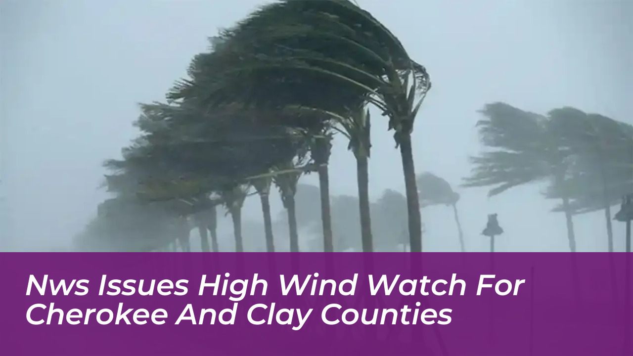


The National Weather Service (NWS) issued a high wind watch on October 8, alerting residents in Cherokee and Clay counties to dangerous weather conditions expected to impact the region. The advisory warns that strong east winds could sweep through the area, bringing potential hazards that require careful monitoring.
High Wind Watch Details and Timing
According to the NWS Morristown, Tennessee office, the high wind watch remains in effect through Sunday at 8:00 a.m. Meteorologists predict sustained east winds moving at 15 to 25 mph, accompanied by dangerous gusts that could reach up to 50 mph.
The alert covers specific geographic zones, primarily targeting North Carolina’s Cherokee and Clay counties. It also covers several neighboring counties in Tennessee: Bradley, East Polk, Hamilton, Marion, and West Polk.
Potential Hazards and Community Impacts
Local authorities and emergency management agencies are urging residents to prepare for potential disruptions caused by the severe weather system. The primary hazards highlighted by the NWS include:
- Damaging Winds: Gusts reaching 50 mph possess enough force to bring down tree limbs and shallow-rooted trees.
- Power Outages: Falling trees and branches striking utility infrastructure could result in widespread and potentially prolonged power outages across Cherokee and Clay counties.
- Hazardous Travel: Driving conditions may become difficult, particularly for high-profile vehicles such as semi-trucks, vans, and RVs operating on regional highways and exposed roadways.
Safety Precautions and Recommendations
Emergency services advise residents to take proactive measures while conditions remain stable. Property owners should secure outdoor items. This includes patio furniture, garbage cans, and decorations that could be picked up and blown away by strong gusts.
Motorists are urged to exercise caution on the roads, keep a safe distance from high-profile vehicles, and avoid driving near downed power lines. Residents should continue to monitor official NWS forecasts and local emergency alerts for any updates or potential upgrades to warnings as the weather system progresses.