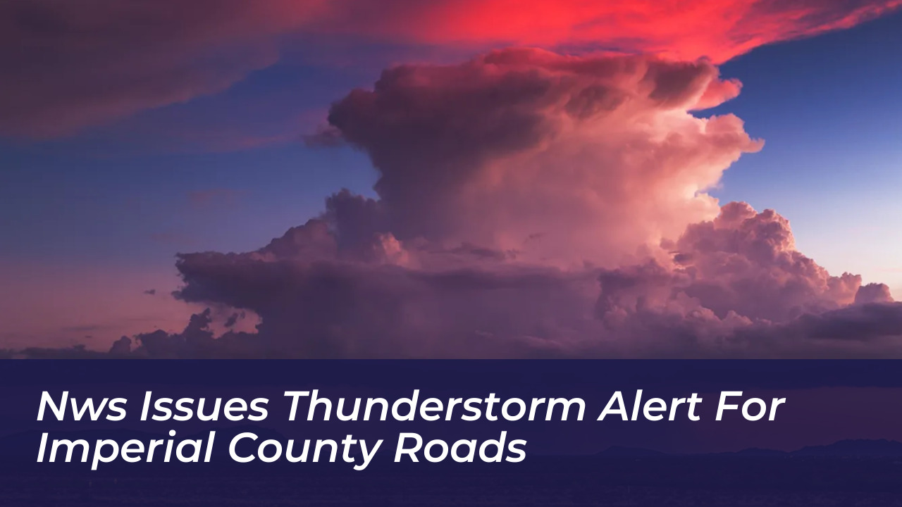

The National Weather Service issued a severe weather alert on October 10, 2026, for parts of Imperial County, California. Radar detected strong thunderstorms moving north from Ocotillo to El Centro. The active weather system brought potential high winds and lightning risks, directly impacting several local communities and major roadways.
Details of the October 10 Storm Tracking
According to the National Weather Service, the storm area tracked north at a speed of 30 mph. Meteorological instruments and Doppler radar data recorded the system’s progression. This prompted immediate warnings for drivers and residents across the region.
“At 11:22 a.m., Doppler radar tracked an area of strong thunderstorms extending from Ocotillo to El Centro, moving north at 30 mph,” reported the National Weather Service.
Impacted Communities and Roadways
The alert covered multiple municipalities and transport corridors throughout the Imperial Valley. Residents and motorists traveling through the path of the storm were advised to exercise extreme caution due to sudden wind gusts and reduced visibility.
- Brawley
- Imperial
- Plaster City
- Ocotillo
- Westmorland
- Surrounding desert and highway areas
Imperial County Weather Hazards
Imperial County experiences diverse and extreme weather patterns due to its desert geography. These range from high-temperature heatwaves to sudden monsoon-driven thunderstorms. These storms often develop rapidly during transitional seasonal periods. They produce localized high-velocity wind gusts, blowing dust, and occasional lightning strikes that present sudden hazards to regional transportation networks.
Safety Recommendations During Severe Weather Alerts
When the National Weather Service issues active storm warnings for Imperial County roads, local emergency management agencies recommend specific precautions for drivers and property owners:
- Pull Aside, Stay Alive: If visibility drops severely due to blowing dust or heavy rain, pull off the pavement completely and turn off lights.
- Monitor Real-Time Updates: Check official NWS channels or local weather advisory systems before embarking on long desert commutes.
- Secure Outdoor Objects: High winds associated with passing thunderstorms can easily pick up unsecured patio furniture, construction materials, and lightweight items.
Frequently Asked Questions
When was the thunderstorm alert issued for Imperial County?
The National Weather Service issued the thunderstorm alert on October 10, 2026, starting at approximately 11:22 a.m.
What direction were the storms moving?
Doppler radar tracked the storm system moving northward at a speed of 30 mph.
Which specific towns and cities were included in the warning?
The alert specifically listed Brawley, Imperial, Plaster City, Ocotillo, and Westmorland, alongside connecting regional highways.
What hazards were associated with these storms?
The primary hazards identified by the National Weather Service included strong wind gusts, lightning risks, and potential localized visibility restrictions.
Where can residents track live weather alerts in Imperial County?
Residents can monitor active warnings through the official National Weather Service forecast office website or local emergency alert networks.