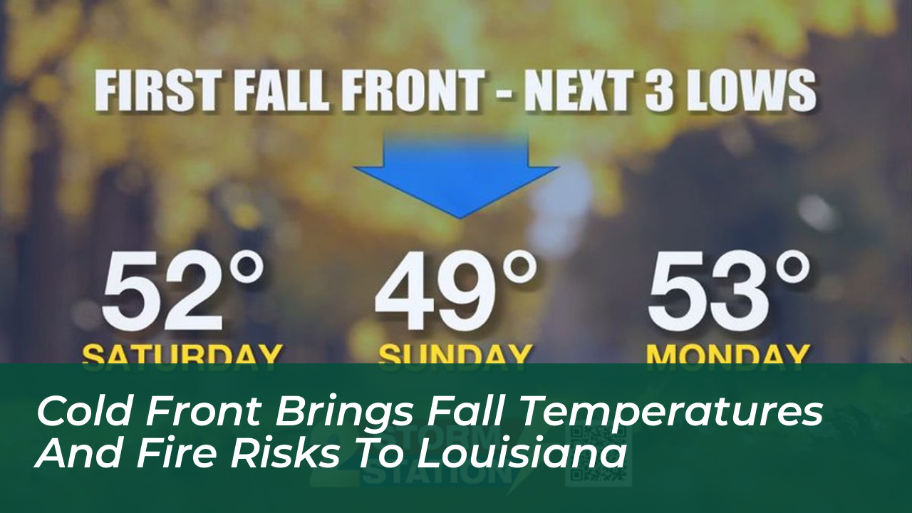

A strong cold front is delivering a definitive taste of autumn to Louisiana. It brings cooler temperatures, gusty northerly winds, and an elevated risk of wildfires across the region. According to forecasts from the National Weather Service and local meteorological stations published on October 16, 2026, the incoming weather system will sweep through the state. It will drop humidity levels significantly while keeping rain chances exceptionally low.
Weekend Temperature Drop and Gusty Winds
The weather shift arrives as a welcome break from lingering summerlike warmth. It introduces crisp mornings and comfortable afternoon highs. Saturday will begin with temperatures dipping into the lower 50s and upper 40s along and north of Interstate 12. Afternoon highs will struggle to reach beyond the mid-70s.
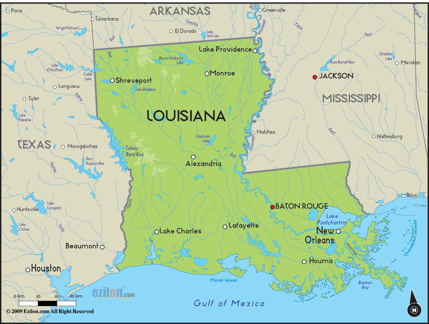
Northeast and northerly winds range between 10 to 20 mph, with frequent gusts reaching up to 30 mph in areas south of Lake Pontchartrain. These winds will amplify the cooler feel. Sunday morning will bring even chillier conditions. Lows will drop into the upper 40s and lower 50s before a slight afternoon temperature rebound.
Elevated Fire Weather Concerns and Warnings
While the cold front introduces crisp fall air, the absence of moisture creates a hazardous side effect: extreme dryness. Because the weather system carries very little precipitation, dry air and strong winds combine to create critical fire weather conditions.
The National Weather Service has issued Red Flag Warnings and Fire Weather Watches for portions of southeast Louisiana and southern Mississippi. Local authorities and forecasters strongly advise residents to take specific precautions:
- Avoid all outdoor burning and trash burning until weather conditions improve.
- Closely supervise grills, fire pits, and any open flames.
- Exercise extreme caution with discarded materials, such as cigarettes, which can easily spark fast-moving brush fires in dry grass.
Marine Hazards and Coastal Conditions
The strong northerly winds will also impact local waterways. They will produce hazardous conditions across Louisiana lakes, rivers, and coastal areas. A Gale Warning has been implemented for coastal waters from Friday evening through Saturday evening. This prompts warnings for boaters to check marine forecasts before heading out.
Short-Lived Relief and Extended Forecast
The autumnal chill will be short-lived. High pressure building into the region will cause temperatures to rebound steadily early next week. By Tuesday through Thursday, afternoon highs are expected to climb back into the upper 70s and mid-80s. Dry air is projected to persist. Significant rainfall remains unlikely over the next week, requiring residents to monitor plant hydration and continue practicing fire safety.