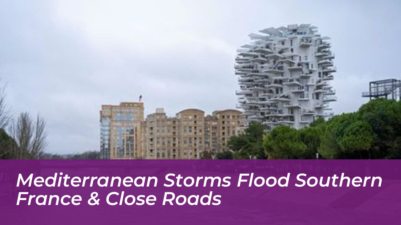

Severe Mediterranean storms brought intense torrential rain, swollen rivers, and widespread transportation chaos to southern France on Tuesday, October 20, 2026. Météo-France issued orange and red weather alerts across the region as saturated ground and continuing precipitation significantly increased the risk of flash flooding across the Hérault, Gard, and Bouches-du-Rhône departments.
The severe weather caused major disruptions throughout local communities, leading to emergency evacuations, school closures, and dozens of road and bridge shutdowns. Authorities urged residents to remain indoors, avoid non-essential travel, and stay away from overflowing waterways.
Major River Overflows and Urban Inundations
In Montpellier, the Lez River overflowed its banks, inundating several urban areas and prompting emergency water rescues. In nearby Lattes, the Lez River climbed to nearly 4.5 meters, forcing firefighters to airlift a mother and her two children to safety. They also carried out precautionary evacuations of local properties and a nearby equestrian center housing 58 horses.
In the Gard department, rising waters severely impacted the Vistre, Vidourle, and Gardon rivers. Emergency services carried out dozens of safety operations to protect residents from rapidly advancing floodwaters. According to Météo-France data, rainfall across the Bouches-du-Rhône over a 24-hour period frequently reached 100 to 150 millimeters between Vitrolles and Arles, with a local peak of 235 millimeters recorded in Saint-Chamas.
Road Closures and Emergency Response
Infrastructure across the affected departments sustained heavy damage. In the Gard, the departmental council reported that more than 30 roads and submersible bridges had been closed to traffic due to deep standing water and debris. Firefighters and municipal personnel deployed nearly 100 responders, completing dozens of safety interventions and overnight evacuations.
- Over 30 departmental roads and bridges closed in the Gard.
- Emergency firefighters deployed for safety evacuations and rescue operations.
- Public transportation networks and local tram services suspended in urban centers like Montpellier.
- Schools and municipal facilities closed as a precautionary measure across multiple sectors.
Climate Context and Continuing Weather Risks
Meteorologists and researchers noted that these fast-moving weather events are characteristic of intense Mediterranean episodes. They occur when warm autumn sea temperatures collide with cooler incoming air masses. This thermal contrast rapidly generates stationary storm cells capable of dumping months of average rainfall in a matter of hours.
Although the heaviest downpours eventually shifted eastward, Météo-France warned that further precipitation remained a threat because regional soils were entirely saturated. Local authorities across southern France continue to assess infrastructure damage, monitor river levels, and manage recovery operations as communities begin the cleanup process.