
A potentially record-setting El Niño is rapidly forming in the Pacific Ocean, threatening to reshape winter weather and snowfall patterns across the United States for the winter of 2026-27. Data from the National Oceanic and Atmospheric Administration (NOAA) and the National Weather Service Climate Prediction Center indicate a greater than 90 percent chance of a very strong event developing. Forecasters estimate a 69 to 75 percent chance that it will reach historic strength, potentially exceeding past El Niño events dating back to 1950 and earning the designation of a “super El Niño.”
While past patterns cannot predict exact weather at individual locations, historical models and seasonal outlooks from organizations like OpenSnow suggest distinct regional differences. The coming months could bring increased snowfall and active storm tracks across parts of the South and Southwest, while reducing totals across several northern tiers and the Pacific Northwest.
What Is a ‘Super El Niño’ and How Do They Form?
El Niño is the warm phase of the El Niño-Southern Oscillation, recognized as the largest year-to-year climate variation on Earth. It begins when east-to-west trade winds slow down, allowing warm water that normally stays in the western Pacific to move eastward across the Pacific Basin.
This movement raises sea surface temperatures in the central and eastern tropical Pacific. According to NOAA, sea-surface temperature anomalies in parts of the eastern equatorial Pacific have already exceeded 2 degrees Celsius (3.6 degrees Fahrenheit) above normal. Model projections indicate peak sea surface temperatures could reach anywhere from 5.4 degrees Fahrenheit (3 degrees Celsius) to 8.1 degrees Fahrenheit (4.5 degrees Fahrenheit) above average.
As these Pacific waters warm, thunderstorms shift eastward. This shift alters atmospheric heat patterns, pressure systems, and jet streams across North America.
How Atmospheric Circulation Shifts US Storm Tracks
The altered sea temperatures create an area of low pressure in the North Pacific. This atmospheric response tends to weaken the polar jet stream while strengthening the subtropical jet stream over the southern United States.
Meteorologists explain that an extended Pacific jet stream carries lower pressure, cooler temperatures, and increased moisture. During a strong El Niño winter, this setup typically yields:
- A deep zone of low pressure in the North Pacific.
- An area of high pressure over Canada that can sometimes block standard west-to-east storm movements.
- An amplified southern and eastern storm track driven by the robust subtropical jet stream.
These mechanics explain why the southern half of the country often experiences a more active winter storm track, whereas northern regions may see suppressed storm activity due to warm Canadian ridges limiting cold air intrusions.
Global climate and weather reanalysis datasets, such as ERA5, show that previous super El Niño events favored specific regional anomalies. However, experts emphasize that every single El Niño unfolds uniquely.
Regional Snowfall Expectations for Winter 2026-27
The emerging super El Niño signals a sharp contrast in winter conditions from coast to coast. Forecasters have broken down regional expectations based on current model outputs:
The West and Southwest
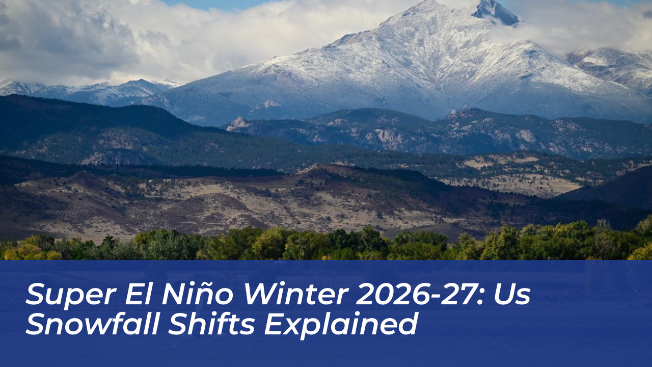
OpenSnow’s winter forecast favors above-normal snowfall across much of the Southwest, including California, Utah, Arizona, New Mexico, and parts of Colorado. California’s Sierra Nevada mountain range carries one of the strongest signals for above-average snowfall, alongside Utah ski resorts and the Southern Rockies. This projected heavy snowfall comes as a welcome relief following recent regional snow droughts, though experts note it may not instantly resolve long-term water crises in the Colorado River basin.
The South, Mid-Atlantic, and East
An active southern storm track creates frequent opportunities for heavy precipitation. States across the southern Plains, southern Appalachians, and Mid-Atlantic are positioned for higher chances of winter storms. However, because strong El Niño events also tend to bring milder baseline temperatures, lower-elevation areas may occasionally see heavy rainfall rather than accumulating snow.
The Northern Tier and Pacific Northwest
By contrast, parts of the Pacific Northwest, northern Rockies, Great Lakes, and Interior Northeast are projected to experience below-average snowfall and warmer-than-average temperatures. Washington state and other northern regions may see precipitation that translates into rain at lower elevations due to persistent warm-air ridges.
What This Means for Americans and Ski Resorts
For ski resorts, mountain communities, and winter enthusiasts, the forecast offers optimism for a rebound after disappointing recent snow seasons in the West. Meteorologists note that the peak influence of this climate pattern typically arrives between January and March.
At the same time, emergency management and local authorities across the South and Southwest must prepare for potential hazards associated with a wetter storm season, including heavy rain, localized flooding, and sudden wintry mixing. Because meteorologists have never previously observed an El Niño event of this specific scale and projected intensity, climate models carry an extra layer of uncertainty as winter approaches.